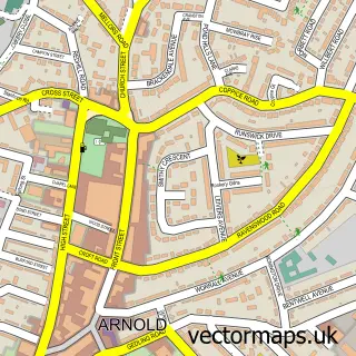
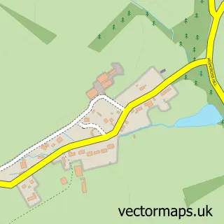
This Oxton street map is a detailed vector street map covering a 750m x 750m area. Select a larger area to create and download your own vector street map of Oxton.
The 750-metre map sample for Oxton covers 182 mapped buildings and approximately 20.5 km of road detail, of which 12 named roads are named. The immediate area includes 1 GP surgery within 2 miles, 2 pubs and 2 MOT stations within 2 miles. The wider area around Oxton features 2 food and drink venues. To create a larger or custom map of Oxton, the map builder lets you define your own coverage area and download editable SVG, PDF and PNG files.
Create a larger editable map of Oxton
Choose any area you need and generate a high-quality vector map instantly. Perfect for print, planning, design, business and personal use.

This Oxton street map in Nottinghamshire is available as downloadable SVG, PDF and PNG map files, or as a printed map for planning, business, display, education, local information and design work. You can also create a larger custom map area using the map selector.
What this Oxton map sample shows
Oxton lies within Oxton Cp parish, part of Dover Beck ward in the Newark And Sherwood District local authority area. The postcode geography for this area includes the NG postcode area, the NG25 postcode district and the NG25 0 postcode sector. Residents fall under the Nhs Nottingham And Nottinghamshire Integrated Care Board for NHS services.
Local features near Oxton
Within 2 milesAmenities and services in and around Oxton.
Administrative and postcode information for Oxton
Oxton lies within Oxton Cp parish, part of Dover Beck ward in the Newark And Sherwood District local authority area. The postcode geography for this area includes the NG postcode area, the NG25 postcode district and the NG25 0 postcode sector. Residents fall under the Nhs Nottingham And Nottinghamshire Integrated Care Board for NHS services.
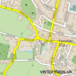
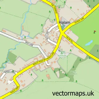
Nearby street map samples around Oxton

More street maps in Nottinghamshire
750 metre map area coverage
Boundary, postcode and point of interest information for the 750m x 750m rectangle centred on this sample map.
Boundaries containing map centre
Constituency: Sherwood Forest Co Const
County: Nottinghamshire County
District: Newark and Sherwood District
Icb: NHS Nottingham and Nottinghamshire ICB
Parish: Oxton CP
Police Force: nottinghamshire
Postcode District: NG25
Postcode Sector: NG25 0
Ward: Dover Beck Ward
Nearby boundaries intersecting sample
No additional intersecting boundaries found.
Postcode coverage
POI category counts
Nursery And Gardening: 2
Post Office: 2
Pub: 2
Anglican Church: 1
Clothing Store: 1
Community Center: 1
Convenience Store: 1
Korean Grocery Store: 1
Online Shop: 1
Preschool: 1
Sample points of interest
- St Peter & St Paul, Oxton
- Lesters
- Oxton Village Hall
- Home Farm Stores
- Post Office-Oxton
- Minster Nursery
- The Midland Rhubarb Company
- Robert Sail Wedding Photographer
- Oxton Post Office
- Post Office
- Little Elms Pre-School Oxton
- Old Green Dragon
Create a larger editable map of Oxton
This sample shows only a 750 metre area. To create a larger map of Oxton, use our map builder to choose your own coverage area, add titles and download editable SVG, PDF and PNG files.
Create a custom map of Oxton