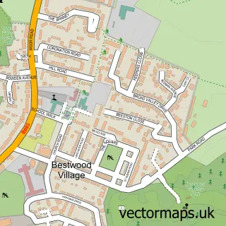
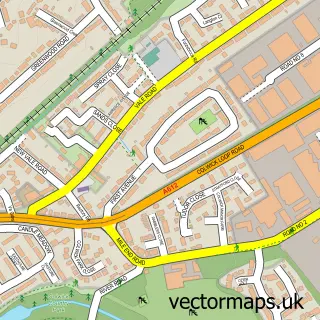
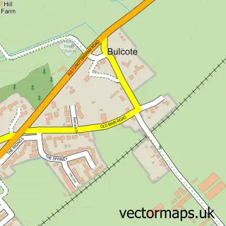
This Arnold street map is a detailed vector street map covering a 750m x 750m area. Select a larger area to create and download your own vector street map of Arnold.
The 750-metre map sample for Arnold covers 587 mapped buildings and approximately 35.2 km of road detail, of which 49 named roads are named. The immediate area includes 1 primary school and 1 secondary school, 2 GP surgeries, with 10 within 2 miles, 10 pubs and 2 MOT stations, with 16 within 2 miles. The wider area around Arnold features 3 tourism points of interest, 23 food and drink venues and 1 hotel. To create a larger or custom map of Arnold, the map builder lets you define your own coverage area and download editable SVG, PDF and PNG files.
Create a larger editable map of Arnold
Choose any area you need and generate a high-quality vector map instantly. Perfect for print, planning, design, business and personal use.

This Arnold street map in Nottinghamshire is available as downloadable SVG, PDF and PNG map files, or as a printed map for planning, business, display, education, local information and design work. You can also create a larger custom map area using the map selector.
What this Arnold map sample shows
Arnold lies within Nottinghamshire County parish, part of Plains ward in the Gedling District (B) local authority area. The postcode geography for this area includes the NG postcode area, the NG5 postcode district and the NG5 7 postcode sector. Residents fall under the Nhs Nottingham And Nottinghamshire Integrated Care Board for NHS services.
Local features near Arnold
Within 2 milesAmenities and services in and around Arnold.
Administrative and postcode information for Arnold
Arnold lies within Nottinghamshire County parish, part of Plains ward in the Gedling District (B) local authority area. The postcode geography for this area includes the NG postcode area, the NG5 postcode district and the NG5 7 postcode sector. Residents fall under the Nhs Nottingham And Nottinghamshire Integrated Care Board for NHS services.
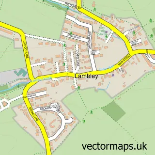
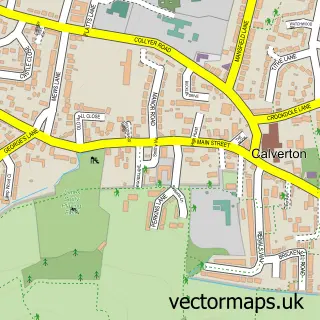
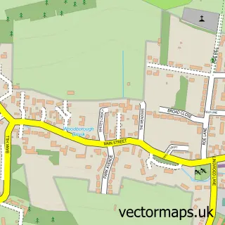
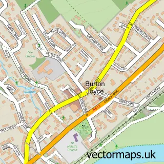
Nearby street map samples around Arnold

More street maps in Nottinghamshire
750 metre map area coverage
Boundary, postcode and point of interest information for the 750m x 750m rectangle centred on this sample map.
Boundaries containing map centre
Constituency: Gedling Co Const
County: Nottinghamshire County
District: Gedling District (B)
Icb: NHS Nottingham and Nottinghamshire ICB
Police Force: nottinghamshire
Postcode District: NG5
Postcode Sector: NG5 7
Ward: Ernehale Ward
Nearby boundaries intersecting sample
Postcode Sector: NG5 6, NG5 8
Ward: Coppice Ward, Daybrook Ward, Redhill Ward
Postcode coverage
POI category counts
Beauty Salon: 15
Pub: 10
Hair Salon: 8
Beauty And Spa: 7
Fast Food Restaurant: 7
Professional Services: 7
Dentist: 6
Shoe Store: 6
Bank Credit Union: 5
Discount Store: 5
Sample points of interest
- Select Accountancy
- Zumba
- Cherry Cross
- Cherry Cross Acupuncture In Nottingham
- Finsbury Media
- Finsbury Media
- Oliver Smith Clinic
- Jem Leisure
- Sun Valley Amusements
- Enigma Antiques
- Nottinghamshire Hospice
- Sue Ryder
Create a larger editable map of Arnold
This sample shows only a 750 metre area. To create a larger map of Arnold, use our map builder to choose your own coverage area, add titles and download editable SVG, PDF and PNG files.
Create a custom map of Arnold