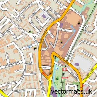
This Bestwood Village street map is a detailed vector street map covering a 750m x 750m area. Select a larger area to create and download your own vector street map of Bestwood Village.
The 750-metre map sample for Bestwood Village covers 408 mapped buildings and approximately 19.2 km of road detail, of which 21 named roads are named. The immediate area includes 2 schools, 7 GP surgeries within 2 miles, 1 pub and 1 MOT station, with 19 within 2 miles. The wider area around Bestwood Village features 2 tourism points of interest, 1 food and drink venue and 1 hotel. To create a larger or custom map of Bestwood Village, the map builder lets you define your own coverage area and download editable SVG, PDF and PNG files.
Create a larger editable map of Bestwood Village
Choose any area you need and generate a high-quality vector map instantly. Perfect for print, planning, design, business and personal use.

This Bestwood Village street map in Nottinghamshire is available as downloadable SVG, PDF and PNG map files, or as a printed map for planning, business, display, education, local information and design work. You can also create a larger custom map area using the map selector.
What this Bestwood Village map sample shows
Bestwood Village lies within Bestwood Village Cp parish, part of Bestwood St Albans ward in the Gedling District (B) local authority area. The postcode geography for this area includes the NG postcode area, the NG6 postcode district and the NG6 8 postcode sector. Residents fall under the Nhs Nottingham And Nottinghamshire Integrated Care Board for NHS services.
Local features near Bestwood Village
Within 2 milesAmenities and services in and around Bestwood Village.
Administrative and postcode information for Bestwood Village
Bestwood Village lies within Bestwood Village Cp parish, part of Bestwood St Albans ward in the Gedling District (B) local authority area. The postcode geography for this area includes the NG postcode area, the NG6 postcode district and the NG6 8 postcode sector. Residents fall under the Nhs Nottingham And Nottinghamshire Integrated Care Board for NHS services.
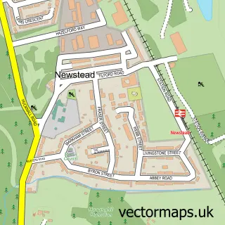
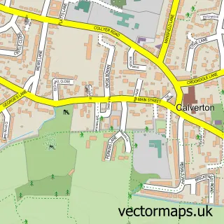
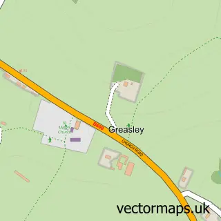
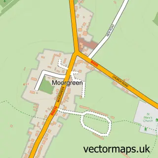
Nearby street map samples around Bestwood Village


More street maps in Nottinghamshire
750 metre map area coverage
Boundary, postcode and point of interest information for the 750m x 750m rectangle centred on this sample map.
Boundaries containing map centre
Constituency: Gedling Co Const
County: Nottinghamshire County
District: Gedling District (B)
Icb: NHS Nottingham and Nottinghamshire ICB
Parish: Bestwood Village CP
Police Force: nottinghamshire
Postcode District: NG6
Postcode Sector: NG6 8
Ward: Bestwood St. Albans Ward
Nearby boundaries intersecting sample
Constituency: Sherwood Forest Co Const
District: Ashfield District
Ward: Hucknall South Ward
Postcode coverage
POI category counts
Automotive Repair: 2
Beauty And Spa: 2
Education: 2
Elementary School: 2
Garbage Collection Service: 2
Park: 2
Post Office: 2
Printing Equipment And Supply: 2
Anglican Church: 1
Arts And Crafts: 1
Sample points of interest
- Bestwood Village: St Mark
- John Pullman Textiles
- The Control
- Hawthorne Nursing Home
- Liquid Valeting
- Bestwood Village M O T Centre
- Edward Stones Chipsaway Nottingham West
- The Welfare Public House
- Look Good Aesthetics
- Rebel's Retreat
- Lets Talk Rubbish Skip Hire
- Katie's Burgers
Create a larger editable map of Bestwood Village
This sample shows only a 750 metre area. To create a larger map of Bestwood Village, use our map builder to choose your own coverage area, add titles and download editable SVG, PDF and PNG files.
Create a custom map of Bestwood Village