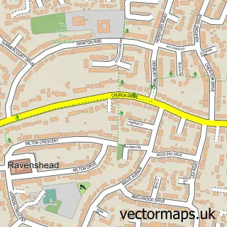
This Papplewick street map is a detailed vector street map covering a 750m x 750m area. Select a larger area to create and download your own vector street map of Papplewick.
The 750-metre map sample for Papplewick covers 119 mapped buildings and approximately 7.5 km of road detail, of which 5 named roads are named. The immediate area includes 3 GP surgeries within 2 miles, 2 pubs and 7 MOT stations within 2 miles. The wider area around Papplewick features 2 food and drink venues. To create a larger or custom map of Papplewick, the map builder lets you define your own coverage area and download editable SVG, PDF and PNG files.
Create a larger editable map of Papplewick
Choose any area you need and generate a high-quality vector map instantly. Perfect for print, planning, design, business and personal use.

This Papplewick street map in Nottinghamshire is available as downloadable SVG, PDF and PNG map files, or as a printed map for planning, business, display, education, local information and design work. You can also create a larger custom map area using the map selector.
What this Papplewick map sample shows
Papplewick lies within Papplewick Cp parish, part of Newstead Abbey ward in the Gedling District (B) local authority area. The postcode geography for this area includes the NG postcode area, the NG15 postcode district and the NG15 8 postcode sector. Residents fall under the Nhs Nottingham And Nottinghamshire Integrated Care Board for NHS services.
Local features near Papplewick
Within 2 milesAmenities and services in and around Papplewick.
Administrative and postcode information for Papplewick
Papplewick lies within Papplewick Cp parish, part of Newstead Abbey ward in the Gedling District (B) local authority area. The postcode geography for this area includes the NG postcode area, the NG15 postcode district and the NG15 8 postcode sector. Residents fall under the Nhs Nottingham And Nottinghamshire Integrated Care Board for NHS services.
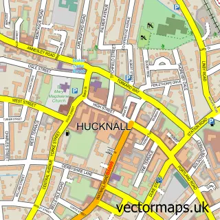
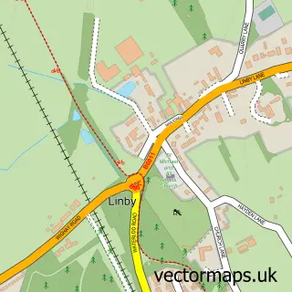
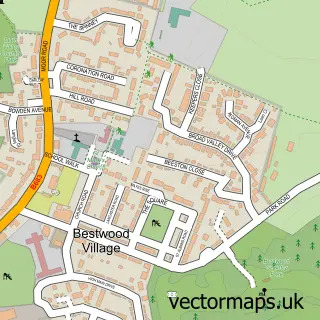
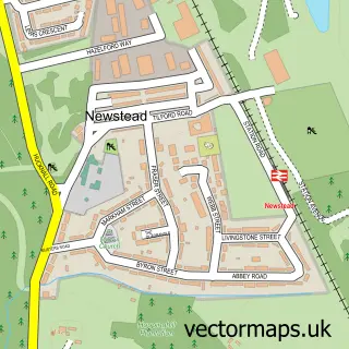
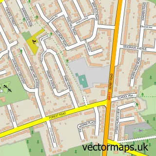
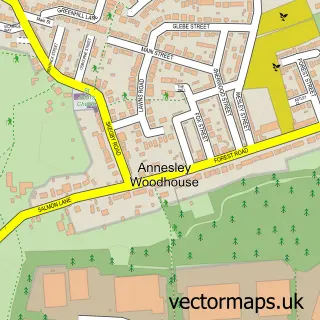
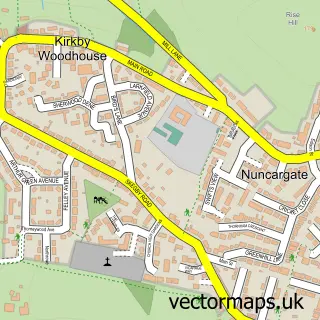
Nearby street map samples around Papplewick

More street maps in Nottinghamshire
750 metre map area coverage
Boundary, postcode and point of interest information for the 750m x 750m rectangle centred on this sample map.
Boundaries containing map centre
Constituency: Sherwood Forest Co Const
County: Nottinghamshire County
District: Gedling District (B)
Icb: NHS Nottingham and Nottinghamshire ICB
Parish: Papplewick CP
Police Force: nottinghamshire
Postcode District: NG15
Postcode Sector: NG15 8
Ward: Newstead Abbey Ward
Nearby boundaries intersecting sample
Parish: Linby CP
Postcode coverage
POI category counts
Pub: 2
Accommodation: 1
Community Center: 1
Dance School: 1
Eat And Drink: 1
Electronics: 1
Playground: 1
Preschool: 1
Tea Room: 1
Sample points of interest
- The Barn
- Papplewick & Linby Village Hall
- Ann Culley School of Dance
- Papplewick & Linby Village Inst.
- G R F Services
- Papplewick Playing Field
- Papplewick Preschool
- Griffins Head
- The Griffins Head
- Morton's Farm Tea Rooms
Create a larger editable map of Papplewick
This sample shows only a 750 metre area. To create a larger map of Papplewick, use our map builder to choose your own coverage area, add titles and download editable SVG, PDF and PNG files.
Create a custom map of Papplewick