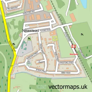
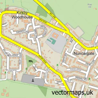
This Ravenshead street map is a detailed vector street map covering a 750m x 750m area. Select a larger area to create and download your own vector street map of Ravenshead.
The 750-metre map sample for Ravenshead covers 590 mapped buildings and approximately 24.1 km of road detail, of which 39 named roads are named. The immediate area includes 2 schools, 1 GP surgery within 2 miles and 2 MOT stations within 2 miles. The wider area around Ravenshead features 1 campsite within 2 miles. To create a larger or custom map of Ravenshead, the map builder lets you define your own coverage area and download editable SVG, PDF and PNG files.
Create a larger editable map of Ravenshead
Choose any area you need and generate a high-quality vector map instantly. Perfect for print, planning, design, business and personal use.

This Ravenshead street map in Nottinghamshire is available as downloadable SVG, PDF and PNG map files, or as a printed map for planning, business, display, education, local information and design work. You can also create a larger custom map area using the map selector.
What this Ravenshead map sample shows
Ravenshead lies within Ravenshead Cp parish, part of Newstead Abbey ward in the Gedling District (B) local authority area. The postcode geography for this area includes the NG postcode area, the NG15 postcode district and the NG15 9 postcode sector. Residents fall under the Nhs Nottingham And Nottinghamshire Integrated Care Board for NHS services.
Local features near Ravenshead
Within 2 milesAmenities and services in and around Ravenshead.
Administrative and postcode information for Ravenshead
The local authority covering Ravenshead is Gedling District (B), within the county of Nottinghamshire. The settlement lies within Newstead Abbey ward and Ravenshead Cp civil parish. The NG15 postcode district and NG15 9 postcode sector serve the immediate area. NHS provision in the area is delivered through Sherwood Forest Hospitals Nhs Foundation Trust.
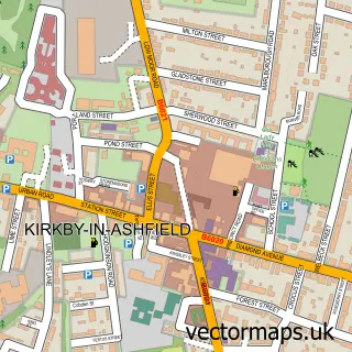
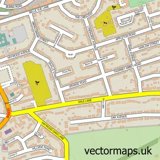
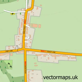
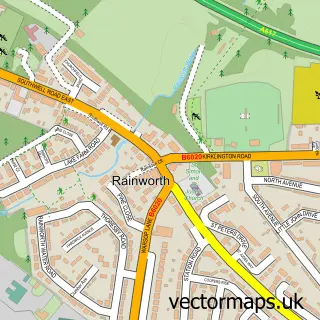
Nearby street map samples around Ravenshead

More street maps in Nottinghamshire
750 metre map area coverage
Boundary, postcode and point of interest information for the 750m x 750m rectangle centred on this sample map.
Boundaries containing map centre
Constituency: Sherwood Forest Co Const
County: Nottinghamshire County
District: Gedling District (B)
Icb: NHS Nottingham and Nottinghamshire ICB
Parish: Ravenshead CP
Police Force: nottinghamshire
Postcode District: NG15
Postcode Sector: NG15 9
Ward: Newstead Abbey Ward
Nearby boundaries intersecting sample
No additional intersecting boundaries found.
Postcode coverage
POI category counts
Convenience Store: 2
Korean Grocery Store: 2
Package Locker: 2
Real Estate Agent: 2
Accountant: 1
Advertising Agency: 1
Atms: 1
Bakery: 1
Beauty Salon: 1
Bounce House Rental: 1
Sample points of interest
- Adcock Accounting Ltd.
- Matrix Marketing
- D & P Spar (Protected)
- Thea's Bakes
- Ravenshead Beauty
- Ace 2Bounce
- Extra Special Touch
- Bradbury's
- Red Carpet Treatment
- Morcliffe Securities
- Ravenshead Village Hall
- Nisa Local
Create a larger editable map of Ravenshead
This sample shows only a 750 metre area. To create a larger map of Ravenshead, use our map builder to choose your own coverage area, add titles and download editable SVG, PDF and PNG files.
Create a custom map of Ravenshead