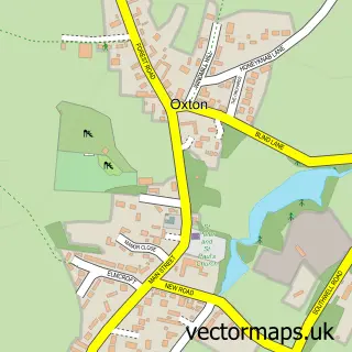
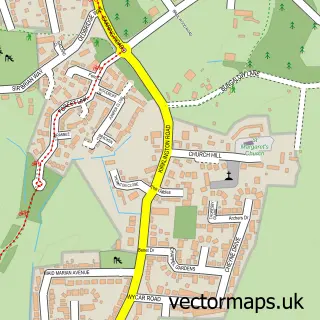
This Blidworth street map is a detailed vector street map covering a 750m x 750m area. Select a larger area to create and download your own vector street map of Blidworth.
The 750-metre map sample for Blidworth covers 549 mapped buildings and approximately 27.1 km of road detail, of which 38 named roads are named. The immediate area includes 1 school, 3 GP surgeries within 2 miles and 1 MOT station, with 3 within 2 miles. The wider area around Blidworth features 1 tourism point of interest and 1 campsite within 2 miles. To create a larger or custom map of Blidworth, the map builder lets you define your own coverage area and download editable SVG, PDF and PNG files.
Create a larger editable map of Blidworth
Choose any area you need and generate a high-quality vector map instantly. Perfect for print, planning, design, business and personal use.

This Blidworth street map in Nottinghamshire is available as downloadable SVG, PDF and PNG map files, or as a printed map for planning, business, display, education, local information and design work. You can also create a larger custom map area using the map selector.
What this Blidworth map sample shows
Blidworth lies within Blidworth Cp parish, part of Rainworth South & Blidworth ward in the Newark And Sherwood District local authority area. The postcode geography for this area includes the NG postcode area, the NG21 postcode district and the NG21 0 postcode sector. Residents fall under the Nhs Nottingham And Nottinghamshire Integrated Care Board for NHS services.
Local features near Blidworth
Within 2 milesAmenities and services in and around Blidworth.
Administrative and postcode information for Blidworth
Blidworth lies within Blidworth Cp parish, part of Rainworth South & Blidworth ward in the Newark And Sherwood District local authority area. The postcode geography for this area includes the NG postcode area, the NG21 postcode district and the NG21 0 postcode sector. Residents fall under the Nhs Nottingham And Nottinghamshire Integrated Care Board for NHS services.
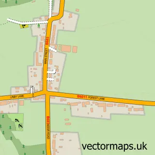
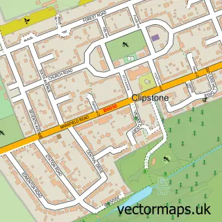
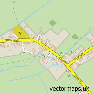
Nearby street map samples around Blidworth

More street maps in Nottinghamshire
750 metre map area coverage
Boundary, postcode and point of interest information for the 750m x 750m rectangle centred on this sample map.
Boundaries containing map centre
Constituency: Sherwood Forest Co Const
County: Nottinghamshire County
District: Newark and Sherwood District
Icb: NHS Nottingham and Nottinghamshire ICB
Parish: Blidworth CP
Police Force: nottinghamshire
Postcode District: NG21
Postcode Sector: NG21 0
Ward: Rainworth South & Blidworth Ward
Nearby boundaries intersecting sample
No additional intersecting boundaries found.
Postcode coverage
POI category counts
Convenience Store: 6
Pet Groomer: 5
Automotive Repair: 3
Gas Station: 3
Betting Center: 2
Business Management Services: 2
Carpenter: 2
Education: 2
Food Delivery Service: 2
Professional Services: 2
Sample points of interest
- Thinkamigo Digital
- The Mission Hall, home to St Andrews Chapel
- Haywood Oaks
- Forest Folk Allotments
- Hedron Electrical
- TR Enterprises
- Bildworth
- Blidworth Dale Garage
- Lawsons Motor Centre Ltd
- Palm Automotive
- Tollies and @prettyglambeauty
- Coral
Create a larger editable map of Blidworth
This sample shows only a 750 metre area. To create a larger map of Blidworth, use our map builder to choose your own coverage area, add titles and download editable SVG, PDF and PNG files.
Create a custom map of Blidworth