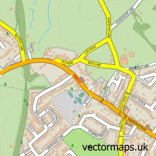
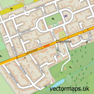
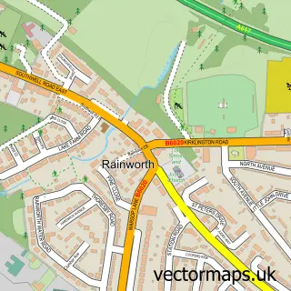
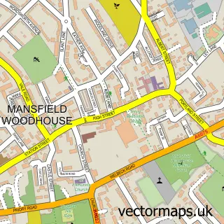
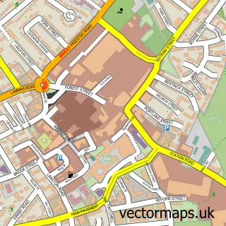
This Mansfield street map is a detailed vector street map covering a 750m x 750m area. Select a larger area to create and download your own vector street map of Mansfield.
The 750-metre map sample for Mansfield covers 214 mapped buildings and approximately 36.9 km of road detail, of which 64 named roads are named. The immediate area includes 1 railway station, 1 GP surgery, with 8 within 2 miles, 30 pubs and 1 MOT station, with 31 within 2 miles. The wider area around Mansfield features 4 tourism points of interest, 70 food and drink venues and 3 hotels. To create a larger or custom map of Mansfield, the map builder lets you define your own coverage area and download editable SVG, PDF and PNG files.
Create a larger editable map of Mansfield
Choose any area you need and generate a high-quality vector map instantly. Perfect for print, planning, design, business and personal use.

This Mansfield street map in Nottinghamshire is available as downloadable SVG, PDF and PNG map files, or as a printed map for planning, business, display, education, local information and design work. You can also create a larger custom map area using the map selector.
What this Mansfield map sample shows
Mansfield lies within Nottinghamshire County parish, part of Portland ward in the Mansfield District local authority area. The postcode geography for this area includes the NG postcode area, the NG18 postcode district and the NG18 1 postcode sector. Residents fall under the Nhs Nottingham And Nottinghamshire Integrated Care Board for NHS services.
Local features near Mansfield
Within 2 milesAmenities and services in and around Mansfield.
Administrative and postcode information for Mansfield
Mansfield lies within Nottinghamshire County parish, part of Portland ward in the Mansfield District local authority area. The postcode geography for this area includes the NG postcode area, the NG18 postcode district and the NG18 1 postcode sector. Residents fall under the Nhs Nottingham And Nottinghamshire Integrated Care Board for NHS services.
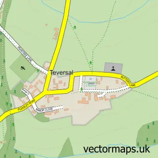
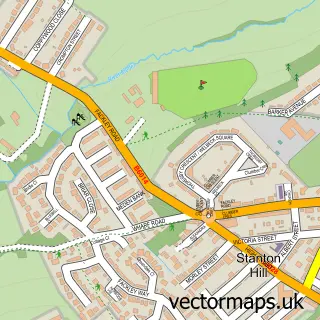
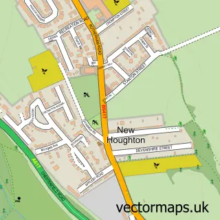
Nearby street map samples around Mansfield

More street maps in Nottinghamshire
750 metre map area coverage
Boundary, postcode and point of interest information for the 750m x 750m rectangle centred on this sample map.
Boundaries containing map centre
Constituency: Mansfield Co Const
County: Nottinghamshire County
District: Mansfield District
Icb: NHS Nottingham and Nottinghamshire ICB
Police Force: nottinghamshire
Postcode District: NG18
Postcode Sector: NG18 1
Ward: Central Ward
Nearby boundaries intersecting sample
Postcode District: NG19
Postcode Sector: NG18 2, NG18 5, NG19 7
Ward: Bancroft Ward, Carr Bank Ward, Eakring Ward, Rock Hill Ward, West Bank Ward
Postcode coverage
POI category counts
Beauty Salon: 39
Pub: 30
Hair Salon: 27
Clothing Store: 25
Employment Agencies: 24
Professional Services: 21
Coffee Shop: 17
Real Estate Agent: 17
Bar: 16
Barber: 16
Sample points of interest
- Slaney Bartlett & Co.
- Holland Park Amusements
- Shipley Amusement Centres
- Mansfield: St Peter & St Paul
- St John's Church
- Arcade Collectables
- John Eastwood Hospice Shop
- P.K Antique Clock Repairs/Sales Mansfield
- Romans Antiques & Collectables
- Rspca Charity Shop
- Victoria Antiques Centre
- Digital Architect Services
Create a larger editable map of Mansfield
This sample shows only a 750 metre area. To create a larger map of Mansfield, use our map builder to choose your own coverage area, add titles and download editable SVG, PDF and PNG files.
Create a custom map of Mansfield