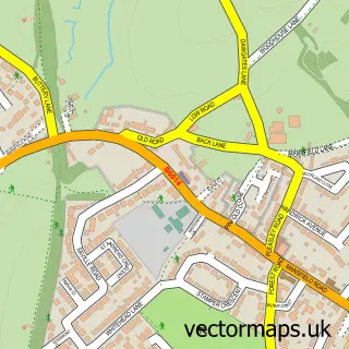
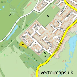
This Sutton-in-Ashfield street map is a detailed vector street map covering a 750m x 750m area. Select a larger area to create and download your own vector street map of Sutton-in-Ashfield.
The 750-metre map sample for Sutton-in-Ashfield covers 339 mapped buildings and approximately 30.7 km of road detail, of which 54 named roads are named. The immediate area includes 2 primary schools and 1 secondary school, 1 GP surgery, with 9 within 2 miles, 9 pubs and 1 MOT station, with 32 within 2 miles. The wider area around Sutton-in-Ashfield features 1 tourism point of interest, 30 food and drink venues and 1 hotel. To create a larger or custom map of Sutton-in-Ashfield, the map builder lets you define your own coverage area and download editable SVG, PDF and PNG files.
Create a larger editable map of Sutton-in-Ashfield
Choose any area you need and generate a high-quality vector map instantly. Perfect for print, planning, design, business and personal use.

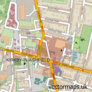
This Sutton-in-Ashfield street map in Nottinghamshire is available as downloadable SVG, PDF and PNG map files, or as a printed map for planning, business, display, education, local information and design work. You can also create a larger custom map area using the map selector.
What this Sutton-in-Ashfield map sample shows
Sutton-in-Ashfield lies within Nottinghamshire County parish, part of Central & New Cross ward in the Ashfield District local authority area. The postcode geography for this area includes the NG postcode area, the NG17 postcode district and the NG17 4 postcode sector. Residents fall under the Nhs Nottingham And Nottinghamshire Integrated Care Board for NHS services.
Local features near Sutton-in-Ashfield
Within 2 milesAmenities and services in and around Sutton-in-Ashfield.
Administrative and postcode information for Sutton-in-Ashfield
The local authority covering Sutton-in-Ashfield is Ashfield District, within the county of Nottinghamshire. The settlement lies within Central & New Cross ward and Nottinghamshire County civil parish. The NG17 postcode district and NG17 4 postcode sector serve the immediate area. NHS provision in the area is delivered through Sherwood Forest Hospitals Nhs Foundation Trust.
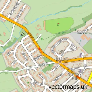
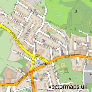
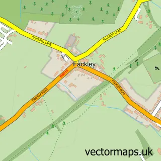
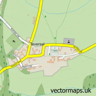
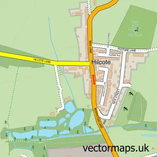
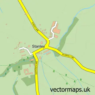
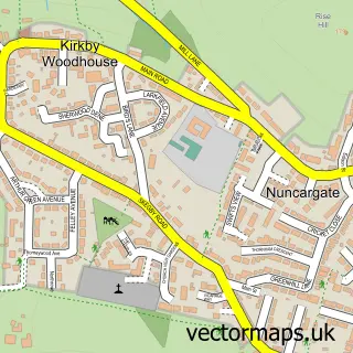
Nearby street map samples around Sutton-in-Ashfield

More street maps in Nottinghamshire
750 metre map area coverage
Boundary, postcode and point of interest information for the 750m x 750m rectangle centred on this sample map.
Boundaries containing map centre
Constituency: Ashfield Co Const
County: Nottinghamshire County
District: Ashfield District
Icb: NHS Nottingham and Nottinghamshire ICB
Police Force: nottinghamshire
Postcode District: NG17
Postcode Sector: NG17 1
Ward: Sutton Central & New Cross Ward
Nearby boundaries intersecting sample
Postcode Sector: NG17 2, NG17 4, NG17 5
Ward: Carsic Ward, Leamington Ward, Sutton St. Mary's Ward
Postcode coverage
POI category counts
Beauty Salon: 23
Retail: 11
Cafe: 10
Fast Food Restaurant: 9
Furniture Store: 9
Indian Restaurant: 9
Nail Salon: 9
Pub: 9
Beauty And Spa: 8
Clothing Store: 8
Sample points of interest
- Enablement Care Sutton In Ashfield
- Impact Marketing & Publicity
- Henry Bags
- Starbuys Appliances
- W. A. Barnes
- Wa Barnes Llp
- Billy B'S Amusement Arcade
- Studio 26
- Gemini Crafts
- Tina's Woolly Crafts
- West End D I Y
- Caremark Mansfield & Ashfield
Create a larger editable map of Sutton-in-Ashfield
This sample shows only a 750 metre area. To create a larger map of Sutton-in-Ashfield, use our map builder to choose your own coverage area, add titles and download editable SVG, PDF and PNG files.
Create a custom map of Sutton-in-Ashfield