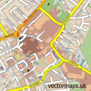
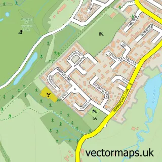
This Skegby street map is a detailed vector street map covering a 750m x 750m area. Select a larger area to create and download your own vector street map of Skegby.
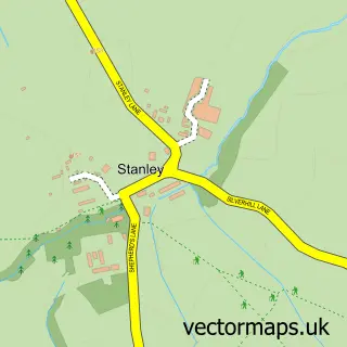
The 750-metre map sample for Skegby covers 371 mapped buildings and approximately 20.4 km of road detail, of which 29 named roads are named. The immediate area includes 1 school, 4 GP surgeries within 2 miles, 1 pub and 26 MOT stations within 2 miles. The wider area around Skegby features 2 food and drink venues and 1 campsite within 2 miles. To create a larger or custom map of Skegby, the map builder lets you define your own coverage area and download editable SVG, PDF and PNG files.
Create a larger editable map of Skegby
Choose any area you need and generate a high-quality vector map instantly. Perfect for print, planning, design, business and personal use.

This Skegby street map in Nottinghamshire is available as downloadable SVG, PDF and PNG map files, or as a printed map for planning, business, display, education, local information and design work. You can also create a larger custom map area using the map selector.
What this Skegby map sample shows
Skegby lies within Nottinghamshire County parish, part of Skegby ward in the Ashfield District local authority area. The postcode geography for this area includes the NG postcode area, the NG17 postcode district and the NG17 3 postcode sector. Residents fall under the Nhs Nottingham And Nottinghamshire Integrated Care Board for NHS services.
Local features near Skegby
Within 2 milesAmenities and services in and around Skegby.
Administrative and postcode information for Skegby
Skegby lies within Nottinghamshire County parish, part of Skegby ward in the Ashfield District local authority area. The postcode geography for this area includes the NG postcode area, the NG17 postcode district and the NG17 3 postcode sector. Residents fall under the Nhs Nottingham And Nottinghamshire Integrated Care Board for NHS services.
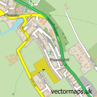
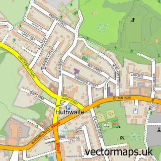
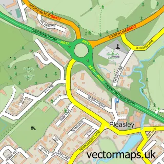
Nearby street map samples around Skegby

More street maps in Nottinghamshire
750 metre map area coverage
Boundary, postcode and point of interest information for the 750m x 750m rectangle centred on this sample map.
Boundaries containing map centre
Constituency: Ashfield Co Const
County: Nottinghamshire County
District: Ashfield District
Icb: NHS Nottingham and Nottinghamshire ICB
Police Force: nottinghamshire
Postcode District: NG17
Postcode Sector: NG17 3
Ward: Skegby Ward
Nearby boundaries intersecting sample
Postcode Sector: NG17 2, NG17 4
Ward: The Dales Ward
Postcode coverage
POI category counts
Convenience Store: 4
Atms: 2
Elementary School: 2
Gas Station: 2
Post Office: 2
Professional Services: 2
Bakery: 1
Beauty Salon: 1
Beer Garden: 1
Building Contractor: 1
Sample points of interest
- Central England Co-Op - Mansfield Road, Skeby
- Harvest Energy - Skegby (Brobot), Skegby
- Country Kitchen
- Belle Moi Beauty
- Drop Inn Beer Garden
- Bestblinds
- Save the Children Fund
- Skegby Methodist Church
- Costa Express
- Brobot Petroleum
- Co-operative Food
- SPAR
Create a larger editable map of Skegby
This sample shows only a 750 metre area. To create a larger map of Skegby, use our map builder to choose your own coverage area, add titles and download editable SVG, PDF and PNG files.
Create a custom map of Skegby