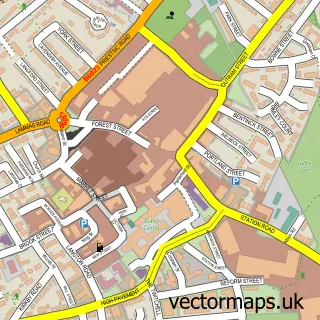
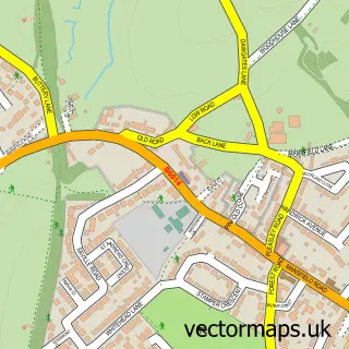
This Huthwaite street map is a detailed vector street map covering a 750m x 750m area. Select a larger area to create and download your own vector street map of Huthwaite.
The 750-metre map sample for Huthwaite covers 421 mapped buildings and approximately 20.7 km of road detail, of which 32 named roads are named. The immediate area includes 1 school, 1 GP surgery, with 5 within 2 miles, 2 pubs and 1 MOT station, with 14 within 2 miles. The wider area around Huthwaite features 4 tourism points of interest, 5 food and drink venues and 1 campsite within 2 miles. To create a larger or custom map of Huthwaite, the map builder lets you define your own coverage area and download editable SVG, PDF and PNG files.
Create a larger editable map of Huthwaite
Choose any area you need and generate a high-quality vector map instantly. Perfect for print, planning, design, business and personal use.

This Huthwaite street map in Nottinghamshire is available as downloadable SVG, PDF and PNG map files, or as a printed map for planning, business, display, education, local information and design work. You can also create a larger custom map area using the map selector.
What this Huthwaite map sample shows
Huthwaite lies within Nottinghamshire County parish, part of Huthwaite & Brierley ward in the Ashfield District local authority area. The postcode geography for this area includes the NG postcode area, the NG17 postcode district and the NG17 2 postcode sector. Residents fall under the Nhs Nottingham And Nottinghamshire Integrated Care Board for NHS services.
Local features near Huthwaite
Within 2 milesAmenities and services in and around Huthwaite.
Administrative and postcode information for Huthwaite
The local authority covering Huthwaite is Ashfield District, within the county of Nottinghamshire. The settlement lies within Huthwaite & Brierley ward and Nottinghamshire County civil parish. The NG17 postcode district and NG17 2 postcode sector serve the immediate area. NHS provision in the area is delivered through Sherwood Forest Hospitals Nhs Foundation Trust.
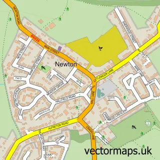
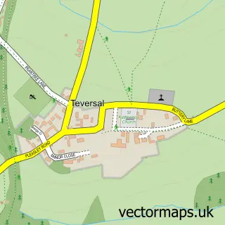
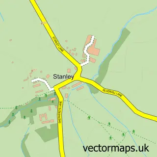
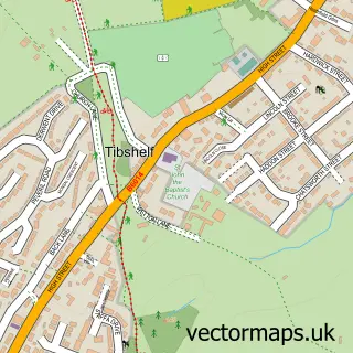
Nearby street map samples around Huthwaite

More street maps in Nottinghamshire
750 metre map area coverage
Boundary, postcode and point of interest information for the 750m x 750m rectangle centred on this sample map.
Boundaries containing map centre
Constituency: Ashfield Co Const
County: Nottinghamshire County
District: Ashfield District
Icb: NHS Nottingham and Nottinghamshire ICB
Police Force: nottinghamshire
Postcode District: NG17
Postcode Sector: NG17 2
Ward: Huthwaite & Brierley Ward
Nearby boundaries intersecting sample
No additional intersecting boundaries found.
Postcode coverage
POI category counts
Automotive Repair: 4
Fish And Chips Restaurant: 3
Park: 3
Atms: 2
Barber: 2
Beauty And Spa: 2
Beauty Salon: 2
Car Dealer: 2
Church Cathedral: 2
Convenience Store: 2
Sample points of interest
- Bizzy Beans Play Centre Huthwaite
- Rani Indian Cuisine
- ATM (Post Office)
- The Cooperative Food (BF) Huthwaite, Huthwaite
- Chris's Auto Electrics
- K4 Vehicle Maintenance
- Rightway Garage Services
- Tonks4x4
- Hells Angels Ashfield
- Ali’s Barber Huthwaite
- Choppers Barbershop
- Gravity
Create a larger editable map of Huthwaite
This sample shows only a 750 metre area. To create a larger map of Huthwaite, use our map builder to choose your own coverage area, add titles and download editable SVG, PDF and PNG files.
Create a custom map of Huthwaite