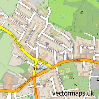
This Newton street map is a detailed vector street map covering a 750m x 750m area. Select a larger area to create and download your own vector street map of Newton.
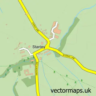
The 750-metre map sample for Newton covers 488 mapped buildings and approximately 19.7 km of road detail, of which 35 named roads are named. The immediate area includes 1 school, 3 GP surgeries within 2 miles, 3 pubs and 8 MOT stations within 2 miles. The wider area around Newton features 1 tourism point of interest and 3 food and drink venues. To create a larger or custom map of Newton, the map builder lets you define your own coverage area and download editable SVG, PDF and PNG files.
Create a larger editable map of Newton
Choose any area you need and generate a high-quality vector map instantly. Perfect for print, planning, design, business and personal use.

This Newton street map in Derbyshire is available as downloadable SVG, PDF and PNG map files, or as a printed map for planning, business, display, education, local information and design work. You can also create a larger custom map area using the map selector.
What this Newton map sample shows
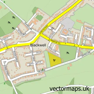
Newton lies within Blackwell Cp parish, part of Blackwell ward in the Bolsover District local authority area. The postcode geography for this area includes the DE postcode area, the DE55 postcode district and the DE55 5 postcode sector. Residents fall under the Nhs Derby And Derbyshire Integrated Care Board for NHS services.
Local features near Newton
Within 2 milesAmenities and services in and around Newton.
Administrative and postcode information for Newton
The local authority covering Newton is Bolsover District, within the county of Derbyshire. The settlement lies within Blackwell ward and Blackwell Cp civil parish. The DE55 postcode district and DE55 5 postcode sector serve the immediate area. NHS provision in the area is delivered through Chesterfield Royal Hospital Nhs Foundation Trust.
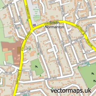
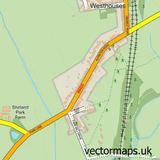
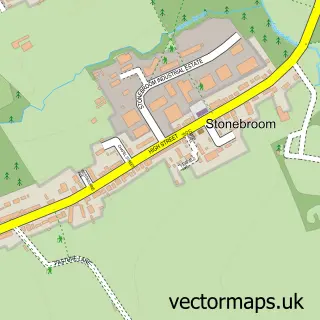
Nearby street map samples around Newton

More street maps in Derbyshire
750 metre map area coverage
Boundary, postcode and point of interest information for the 750m x 750m rectangle centred on this sample map.
Boundaries containing map centre
Constituency: Bolsover Co Const
County: Derbyshire County
District: Bolsover District
Icb: NHS Derby and Derbyshire ICB
Parish: Blackwell CP
Police Force: derbyshire
Postcode District: DE55
Postcode Sector: DE55 5
Ward: Blackwell Ward
Nearby boundaries intersecting sample
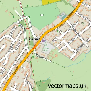
Parish: Tibshelf CP
Ward: Tibshelf Ward
Postcode coverage
POI category counts
Post Office: 3
Pub: 3
Auto Electrical Repair: 1
Automotive Repair: 1
Bar: 1
Beach: 1
Betting Center: 1
Community Center: 1
Convenience Store: 1
Currency Exchange: 1
Sample points of interest
- ATG Services
- Main Street Motors
- George And Dragon
- Playa Blanca, Lanzarote
- Ladbrokes
- Newton Community Centre
- Nisa Local
- Post Office Travel Money
- Collins Electrical Services
- Newton Primary School
- Pharmacover Locums
- Printworx Graphics
Create a larger editable map of Newton
This sample shows only a 750 metre area. To create a larger map of Newton, use our map builder to choose your own coverage area, add titles and download editable SVG, PDF and PNG files.
Create a custom map of Newton