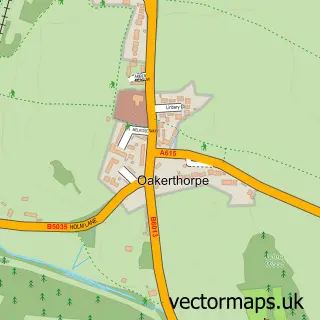
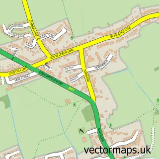
This Alfreton street map is a detailed vector street map covering a 750m x 750m area. Select a larger area to create and download your own vector street map of Alfreton.
The 750-metre map sample for Alfreton covers 328 mapped buildings and approximately 20.4 km of road detail, of which 26 named roads are named. The immediate area includes 1 school, 2 GP surgeries, with 4 within 2 miles, 12 pubs and 1 MOT station, with 8 within 2 miles. The wider area around Alfreton features 3 tourism points of interest and 25 food and drink venues. To create a larger or custom map of Alfreton, the map builder lets you define your own coverage area and download editable SVG, PDF and PNG files.
Create a larger editable map of Alfreton
Choose any area you need and generate a high-quality vector map instantly. Perfect for print, planning, design, business and personal use.

This Alfreton street map in Derbyshire is available as downloadable SVG, PDF and PNG map files, or as a printed map for planning, business, display, education, local information and design work. You can also create a larger custom map area using the map selector.
What this Alfreton map sample shows
Alfreton lies within Alfreton Cp parish, part of Alfreton ward in the Amber Valley District (B) local authority area. The postcode geography for this area includes the DE postcode area, the DE55 postcode district and the DE55 7 postcode sector. Residents fall under the Nhs Derby And Derbyshire Integrated Care Board for NHS services.
Local features near Alfreton
Within 2 milesAmenities and services in and around Alfreton.
Administrative and postcode information for Alfreton
The local authority covering Alfreton is Amber Valley District (B), within the county of Derbyshire. The settlement lies within Alfreton ward and Alfreton Cp civil parish. The DE55 postcode district and DE55 7 postcode sector serve the immediate area. NHS provision in the area is delivered through Sherwood Forest Hospitals Nhs Foundation Trust.
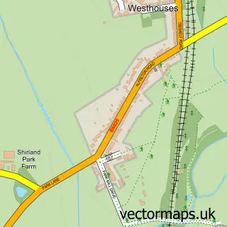
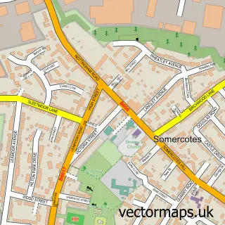
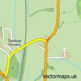
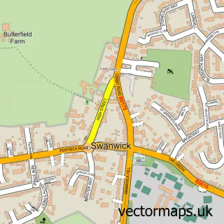
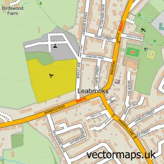
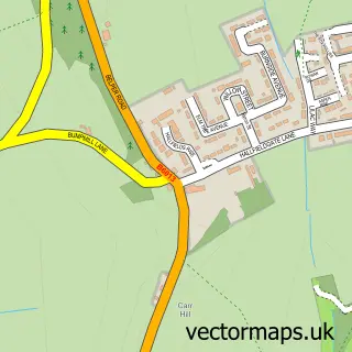
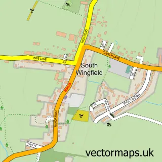
Nearby street map samples around Alfreton

More street maps in Derbyshire
750 metre map area coverage
Boundary, postcode and point of interest information for the 750m x 750m rectangle centred on this sample map.
Boundaries containing map centre
Constituency: Amber Valley Co Const
County: Derbyshire County
District: Amber Valley District (B)
Icb: NHS Derby and Derbyshire ICB
Parish: Alfreton CP
Police Force: derbyshire
Postcode District: DE55
Postcode Sector: DE55 7
Ward: Alfreton Ward
Nearby boundaries intersecting sample
No additional intersecting boundaries found.
Postcode coverage
POI category counts
Pub: 12
Beauty Salon: 10
Hair Salon: 10
Flowers And Gifts Shop: 9
Tattoo And Piercing: 9
Barber: 7
Clothing Store: 7
Cafe: 6
Dentist: 6
Indian Restaurant: 6
Sample points of interest
- Bradley & Co.
- Alfreton Adult Community Education Centre
- Derbyshire County Council Education Department Lifelong Lear
- Prestige Social Media Management Ltd
- Quicksilver
- St Martin
- Alfreton Sales & Exchange
- Ashgate Hospice Alfreton
- Embers of Alfreton
- Gary Davis Electricals
- Dixons Carphone
- Qds
Create a larger editable map of Alfreton
This sample shows only a 750 metre area. To create a larger map of Alfreton, use our map builder to choose your own coverage area, add titles and download editable SVG, PDF and PNG files.
Create a custom map of Alfreton