This South Wingfield street map is a detailed vector street map covering a 750m x 750m area. Select a larger area to create and download your own vector street map of South Wingfield.
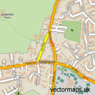
The 750-metre map sample for South Wingfield covers 225 mapped buildings and approximately 10.7 km of road detail, of which 12 named roads are named. The immediate area includes 1 school, 1 GP surgery within 2 miles, 3 pubs and 3 MOT stations within 2 miles. The wider area around South Wingfield features 4 food and drink venues. To create a larger or custom map of South Wingfield, the map builder lets you define your own coverage area and download editable SVG, PDF and PNG files.
Create a larger editable map of South Wingfield
Choose any area you need and generate a high-quality vector map instantly. Perfect for print, planning, design, business and personal use.

This South Wingfield street map in Derbyshire is available as downloadable SVG, PDF and PNG map files, or as a printed map for planning, business, display, education, local information and design work. You can also create a larger custom map area using the map selector.
What this South Wingfield map sample shows
South Wingfield lies within South Wingfield Cp parish, part of Wingfield ward in the Amber Valley District (B) local authority area. The postcode geography for this area includes the DE postcode area, the DE55 postcode district and the DE55 7 postcode sector. Residents fall under the Nhs Derby And Derbyshire Integrated Care Board for NHS services.
Local features near South Wingfield
Within 2 milesAmenities and services in and around South Wingfield.
Administrative and postcode information for South Wingfield
The local authority covering South Wingfield is Amber Valley District (B), within the county of Derbyshire. The settlement lies within Wingfield ward and South Wingfield Cp civil parish. The DE55 postcode district and DE55 7 postcode sector serve the immediate area. NHS provision in the area is delivered through University Hospitals Of Derby And Burton Nhs Foundation Trust.
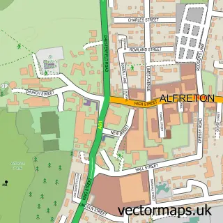
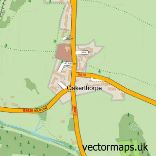
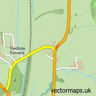
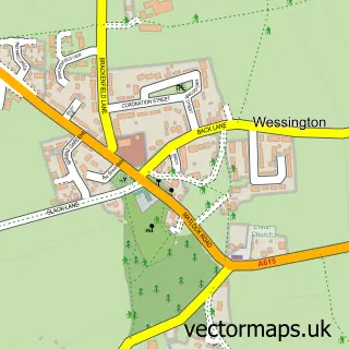
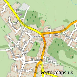
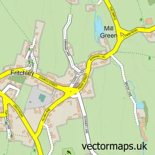
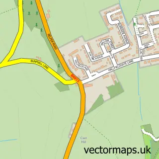
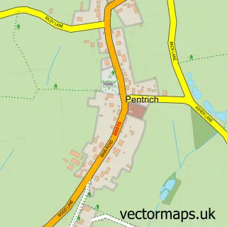
Nearby street map samples around South Wingfield

More street maps in Derbyshire
750 metre map area coverage
Boundary, postcode and point of interest information for the 750m x 750m rectangle centred on this sample map.
Boundaries containing map centre
Constituency: Amber Valley Co Const
County: Derbyshire County
District: Amber Valley District (B)
Icb: NHS Derby and Derbyshire ICB
Parish: South Wingfield CP
Police Force: derbyshire
Postcode District: DE55
Postcode Sector: DE55 7
Ward: Crich & South Wingfield Ward
Nearby boundaries intersecting sample
No additional intersecting boundaries found.
Postcode coverage
POI category counts
Pub: 3
Automotive Services And Repair: 1
Beauty Salon: 1
Church Cathedral: 1
Construction Services: 1
Doctor: 1
Elementary School: 1
Grain Production: 1
Home Cleaning: 1
Jewelry Store: 1
Sample points of interest
- BCF Services Car Audio Specialist
- Beauty & Nails By Mel
- Zion Methodist Church, South Wingfield
- Manor Plastering
- Crich Medical Practice (South Wingfield Surgery)
- South Wingfield Primary School
- Wingfield Manor
- KT Cleaning Services
- The Galleria of Gems
- Meadow View Pet Spa
- Taylors of South Wingfield
- Old Yew Tree Inn
Create a larger editable map of South Wingfield
This sample shows only a 750 metre area. To create a larger map of South Wingfield, use our map builder to choose your own coverage area, add titles and download editable SVG, PDF and PNG files.
Create a custom map of South Wingfield