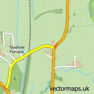
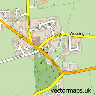
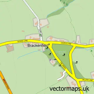
This Hallfield Gate street map is a detailed vector street map covering a 750m x 750m area. Select a larger area to create and download your own vector street map of Hallfield Gate.
The 750-metre map sample for Hallfield Gate covers 147 mapped buildings and approximately 14.4 km of road detail, of which 11 named roads are named. The immediate area includes 2 GP surgeries within 2 miles and 3 MOT stations within 2 miles. The wider area around Hallfield Gate features 1 campsite within 2 miles. To create a larger or custom map of Hallfield Gate, the map builder lets you define your own coverage area and download editable SVG, PDF and PNG files.
Create a larger editable map of Hallfield Gate
Choose any area you need and generate a high-quality vector map instantly. Perfect for print, planning, design, business and personal use.

This Hallfield Gate street map in Derbyshire is available as downloadable SVG, PDF and PNG map files, or as a printed map for planning, business, display, education, local information and design work. You can also create a larger custom map area using the map selector.
What this Hallfield Gate map sample shows
Hallfield Gate lies within Shirland And Higham Cp parish, part of Shirland ward in the North East Derbyshire District local authority area. The postcode geography for this area includes the DE postcode area, the DE55 postcode district and the DE55 6 postcode sector. Residents fall under the Nhs Derby And Derbyshire Integrated Care Board for NHS services.
Local features near Hallfield Gate
Within 2 milesAmenities and services in and around Hallfield Gate.
Administrative and postcode information for Hallfield Gate
The local authority covering Hallfield Gate is North East Derbyshire District, within the county of Derbyshire. The settlement lies within Shirland ward and Shirland And Higham Cp civil parish. The DE55 postcode district and DE55 6 postcode sector serve the immediate area. NHS provision in the area is delivered through Chesterfield Royal Hospital Nhs Foundation Trust.
Nearby street map samples around Hallfield Gate

More street maps in Derbyshire
750 metre map area coverage
Boundary, postcode and point of interest information for the 750m x 750m rectangle centred on this sample map.
Boundaries containing map centre
Constituency: Bolsover Co Const
County: Derbyshire County
District: North East Derbyshire District
Icb: NHS Derby and Derbyshire ICB
Parish: Shirland and Higham CP
Police Force: derbyshire
Postcode District: DE55
Postcode Sector: DE55 6
Ward: Shirland Ward
Nearby boundaries intersecting sample
No additional intersecting boundaries found.
Postcode coverage
POI category counts
Automotive Repair: 1
Beauty Salon: 1
Beverage Store: 1
Cupcake Shop: 1
Painting: 1
Personal Care Service: 1
Veterinarian: 1
Sample points of interest
- EBS Valeters
- The Face Edit Aesthetics
- The Shoulder of Mutton Inn
- Just add Candles Celebration Cakes Shirland
- D Cheshire Painting & Decorating
- Lets Care Services
- Bark in Style
Create a larger editable map of Hallfield Gate
This sample shows only a 750 metre area. To create a larger map of Hallfield Gate, use our map builder to choose your own coverage area, add titles and download editable SVG, PDF and PNG files.
Create a custom map of Hallfield Gate