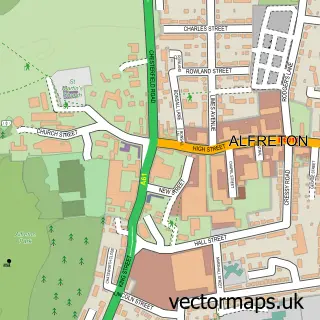
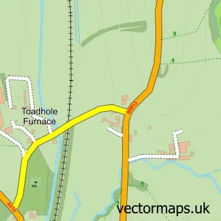
This Higham street map is a detailed vector street map covering a 750m x 750m area. Select a larger area to create and download your own vector street map of Higham.
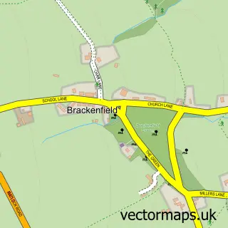
The 750-metre map sample for Higham covers 206 mapped buildings and approximately 14.6 km of road detail, of which 10 named roads are named. The immediate area includes 2 pubs and 2 MOT stations within 2 miles. The wider area around Higham features 1 tourism point of interest, 3 food and drink venues and 1 hotel. To create a larger or custom map of Higham, the map builder lets you define your own coverage area and download editable SVG, PDF and PNG files.
Create a larger editable map of Higham
Choose any area you need and generate a high-quality vector map instantly. Perfect for print, planning, design, business and personal use.

This Higham street map in Derbyshire is available as downloadable SVG, PDF and PNG map files, or as a printed map for planning, business, display, education, local information and design work. You can also create a larger custom map area using the map selector.
What this Higham map sample shows
Higham lies within Shirland And Higham Cp parish, part of Shirland ward in the North East Derbyshire District local authority area. The postcode geography for this area includes the DE postcode area, the DE55 postcode district and the DE55 6 postcode sector. Residents fall under the Nhs Derby And Derbyshire Integrated Care Board for NHS services.
Local features near Higham
Within 2 milesAmenities and services in and around Higham.
Administrative and postcode information for Higham
Higham lies within Shirland And Higham Cp parish, part of Shirland ward in the North East Derbyshire District local authority area. The postcode geography for this area includes the DE postcode area, the DE55 postcode district and the DE55 6 postcode sector. Residents fall under the Nhs Derby And Derbyshire Integrated Care Board for NHS services.
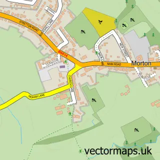
Nearby street map samples around Higham

More street maps in Derbyshire
750 metre map area coverage
Boundary, postcode and point of interest information for the 750m x 750m rectangle centred on this sample map.
Boundaries containing map centre
Constituency: Bolsover Co Const
County: Derbyshire County
District: North East Derbyshire District
Icb: NHS Derby and Derbyshire ICB
Parish: Shirland and Higham CP
Police Force: derbyshire
Postcode District: DE55
Postcode Sector: DE55 6
Ward: Shirland Ward
Nearby boundaries intersecting sample
No additional intersecting boundaries found.
Postcode coverage
POI category counts
Beauty Salon: 2
Pub: 2
Architectural Designer: 1
Automotive Repair: 1
Bed And Breakfast: 1
Education: 1
Engine Repair Service: 1
Fishing Club: 1
Flooring Contractors: 1
Holiday Rental Home: 1
Sample points of interest
- Pilkington Architecture
- A & A Motors
- Hair & Beauty Salon, Higham
- Higham Hair and Beauty Studio
- Bramble Cottage
- Annsco Care Solutions
- A & A Motors
- Higham Fisheries
- Higham Stone & Tile Co
- Pathways Holiday Cottage
- Santo's Higham Farm Hotel
- Greyhound
Create a larger editable map of Higham
This sample shows only a 750 metre area. To create a larger map of Higham, use our map builder to choose your own coverage area, add titles and download editable SVG, PDF and PNG files.
Create a custom map of Higham