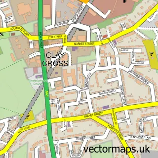
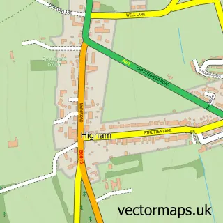
This Stretton street map is a detailed vector street map covering a 750m x 750m area. Select a larger area to create and download your own vector street map of Stretton.
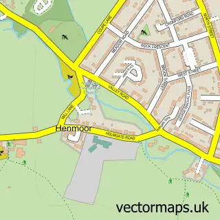
The 750-metre map sample for Stretton covers 92 mapped buildings and approximately 9.6 km of road detail, of which 3 named roads are named. The immediate area includes 2 GP surgeries within 2 miles, 1 pub and 1 MOT station, with 8 within 2 miles. The wider area around Stretton features 1 tourism point of interest, 1 food and drink venue and 1 campsite within 2 miles. To create a larger or custom map of Stretton, the map builder lets you define your own coverage area and download editable SVG, PDF and PNG files.
Create a larger editable map of Stretton
Choose any area you need and generate a high-quality vector map instantly. Perfect for print, planning, design, business and personal use.

This Stretton street map in Derbyshire is available as downloadable SVG, PDF and PNG map files, or as a printed map for planning, business, display, education, local information and design work. You can also create a larger custom map area using the map selector.
What this Stretton map sample shows
Stretton lies within Shirland And Higham Cp parish, part of Shirland ward in the North East Derbyshire District local authority area. The postcode geography for this area includes the DE postcode area, the DE55 postcode district and the DE55 6 postcode sector. Residents fall under the Nhs Derby And Derbyshire Integrated Care Board for NHS services.
Local features near Stretton
Within 2 milesAmenities and services in and around Stretton.
Administrative and postcode information for Stretton
Stretton lies within Shirland And Higham Cp parish, part of Shirland ward in the North East Derbyshire District local authority area. The postcode geography for this area includes the DE postcode area, the DE55 postcode district and the DE55 6 postcode sector. Residents fall under the Nhs Derby And Derbyshire Integrated Care Board for NHS services.
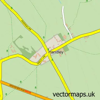
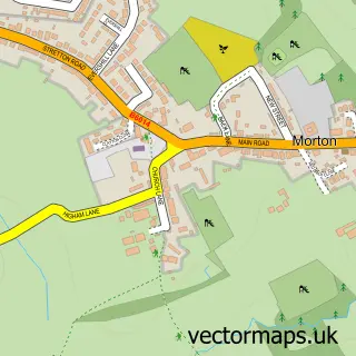
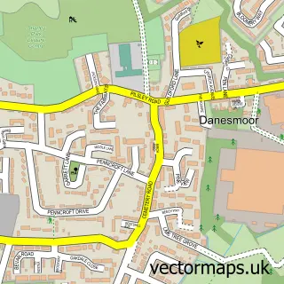
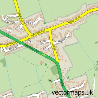
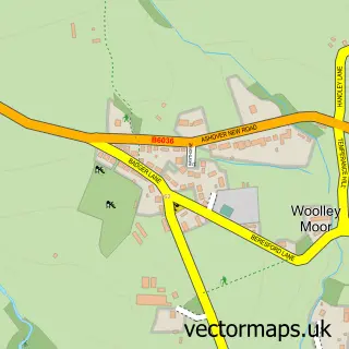
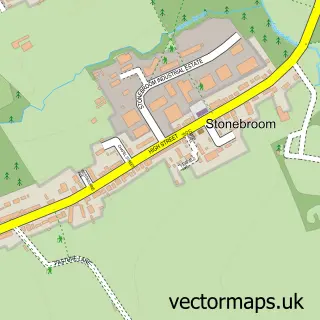
Nearby street map samples around Stretton

More street maps in Derbyshire
750 metre map area coverage
Boundary, postcode and point of interest information for the 750m x 750m rectangle centred on this sample map.
Boundaries containing map centre
Constituency: Bolsover Co Const
County: Derbyshire County
District: North East Derbyshire District
Icb: NHS Derby and Derbyshire ICB
Parish: Stretton CP
Police Force: derbyshire
Postcode District: DE55
Postcode Sector: DE55 6
Ward: Pilsley & Morton Ward
Nearby boundaries intersecting sample
Parish: Shirland and Higham CP
Ward: Shirland Ward
Postcode coverage
POI category counts
Farm: 2
Automotive Repair: 1
Charity Organization: 1
Child Care And Day Care: 1
Convenience Store: 1
Day Care Preschool: 1
Event Planning: 1
Gas Station: 1
Park: 1
Pub: 1
Sample points of interest
- German & Classic
- Claycross lighthouse charity shop
- Tiddlers Day Nursery
- SPAR - Harvest - Stretton
- Partou Field View Day Nursery & Pre-school
- Ashover Village
- Hollybrook Flower Farm
- Yew Tree Farm Pick Your Own Raspberries
- BP
- Clumber Park
- The White Bear
- Costa Express
Create a larger editable map of Stretton
This sample shows only a 750 metre area. To create a larger map of Stretton, use our map builder to choose your own coverage area, add titles and download editable SVG, PDF and PNG files.
Create a custom map of Stretton