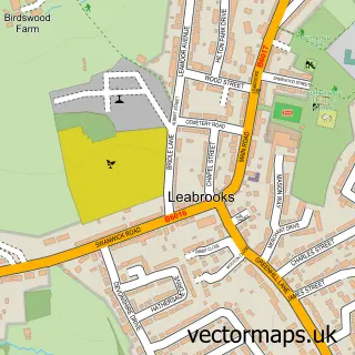
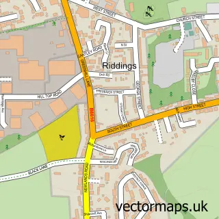
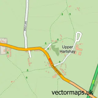
This Swanwick street map is a detailed vector street map covering a 750m x 750m area. Select a larger area to create and download your own vector street map of Swanwick.
The 750-metre map sample for Swanwick covers 451 mapped buildings and approximately 18.7 km of road detail, of which 32 named roads are named. The immediate area includes 1 school, 4 GP surgeries within 2 miles, 4 pubs and 1 MOT station, with 14 within 2 miles. The wider area around Swanwick features 6 food and drink venues and 2 campsites within 2 miles. To create a larger or custom map of Swanwick, the map builder lets you define your own coverage area and download editable SVG, PDF and PNG files.
Create a larger editable map of Swanwick
Choose any area you need and generate a high-quality vector map instantly. Perfect for print, planning, design, business and personal use.

This Swanwick street map in Derbyshire is available as downloadable SVG, PDF and PNG map files, or as a printed map for planning, business, display, education, local information and design work. You can also create a larger custom map area using the map selector.
What this Swanwick map sample shows
Swanwick lies within Swanwick Cp parish, part of Swanwick ward in the Amber Valley District (B) local authority area. The postcode geography for this area includes the DE postcode area, the DE55 postcode district and the DE55 1 postcode sector. Residents fall under the Nhs Derby And Derbyshire Integrated Care Board for NHS services.
Local features near Swanwick
Within 2 milesAmenities and services in and around Swanwick.
Administrative and postcode information for Swanwick
Swanwick lies within Swanwick Cp parish, part of Swanwick ward in the Amber Valley District (B) local authority area. The postcode geography for this area includes the DE postcode area, the DE55 postcode district and the DE55 1 postcode sector. Residents fall under the Nhs Derby And Derbyshire Integrated Care Board for NHS services.
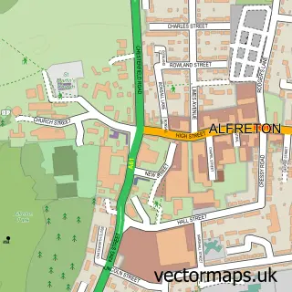
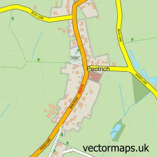
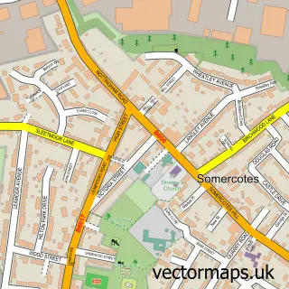
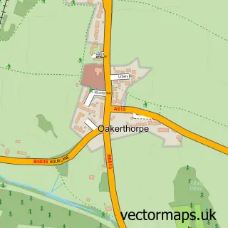
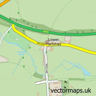
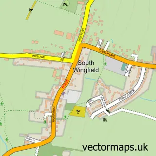
Nearby street map samples around Swanwick

More street maps in Derbyshire
750 metre map area coverage
Boundary, postcode and point of interest information for the 750m x 750m rectangle centred on this sample map.
Boundaries containing map centre
Constituency: Amber Valley Co Const
County: Derbyshire County
District: Amber Valley District (B)
Icb: NHS Derby and Derbyshire ICB
Parish: Swanwick CP
Police Force: derbyshire
Postcode District: DE55
Postcode Sector: DE55 1
Ward: Swanwick Ward
Nearby boundaries intersecting sample
No additional intersecting boundaries found.
Postcode coverage
POI category counts
Convenience Store: 4
Gas Station: 4
Pub: 4
Beauty Salon: 3
Church Cathedral: 3
Cafe: 2
Flowers And Gifts Shop: 2
Hair Salon: 2
Naturopathic Holistic: 2
Package Locker: 2
Sample points of interest
- Meadows inn
- St Andrew Swanwick
- ESSO Swanwick (Rontec - CZC), Derby Road
- Derbyshire Mobile Mechanic
- Sculpt. Barbering Services
- Beautybyells
- Danielle Ainsworth Hair and Beauty
- Reflections Hair & Beauty
- Green Line Tree Services
- Matkin Butchers Swanwick
- Salt Pot
- The Salt Pot Community Cafe
Create a larger editable map of Swanwick
This sample shows only a 750 metre area. To create a larger map of Swanwick, use our map builder to choose your own coverage area, add titles and download editable SVG, PDF and PNG files.
Create a custom map of Swanwick