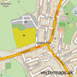
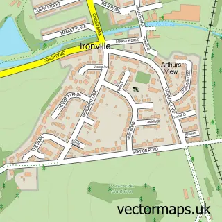
This Riddings street map is a detailed vector street map covering a 750m x 750m area. Select a larger area to create and download your own vector street map of Riddings.
The 750-metre map sample for Riddings covers 360 mapped buildings and approximately 19.0 km of road detail, of which 31 named roads are named. The immediate area includes 2 schools, 3 GP surgeries within 2 miles, 3 pubs and 1 MOT station, with 14 within 2 miles. The wider area around Riddings features 1 tourism point of interest, 5 food and drink venues and 2 campsites within 2 miles. To create a larger or custom map of Riddings, the map builder lets you define your own coverage area and download editable SVG, PDF and PNG files.
Create a larger editable map of Riddings
Choose any area you need and generate a high-quality vector map instantly. Perfect for print, planning, design, business and personal use.

This Riddings street map in Derbyshire is available as downloadable SVG, PDF and PNG map files, or as a printed map for planning, business, display, education, local information and design work. You can also create a larger custom map area using the map selector.
What this Riddings map sample shows
Riddings lies within Ironville Cp parish, part of Ironville And Riddings ward in the Amber Valley District (B) local authority area. The postcode geography for this area includes the NG postcode area, the NG16 postcode district and the NG16 5 postcode sector. Residents fall under the Nhs Derby And Derbyshire Integrated Care Board for NHS services.
Local features near Riddings
Within 2 milesAmenities and services in and around Riddings.
Administrative and postcode information for Riddings
Riddings lies within Ironville Cp parish, part of Ironville And Riddings ward in the Amber Valley District (B) local authority area. The postcode geography for this area includes the NG postcode area, the NG16 postcode district and the NG16 5 postcode sector. Residents fall under the Nhs Derby And Derbyshire Integrated Care Board for NHS services.
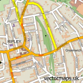
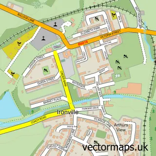
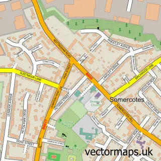
Nearby street map samples around Riddings


More street maps in Derbyshire
750 metre map area coverage
Boundary, postcode and point of interest information for the 750m x 750m rectangle centred on this sample map.
Boundaries containing map centre
Constituency: Amber Valley Co Const
County: Derbyshire County
District: Amber Valley District (B)
Icb: NHS Derby and Derbyshire ICB
Police Force: derbyshire
Postcode District: DE55
Postcode Sector: DE55 4
Ward: Ironville & Riddings Ward
Nearby boundaries intersecting sample
No additional intersecting boundaries found.
Postcode coverage
POI category counts
Pub: 3
Retail: 3
Bakery: 2
Contractor: 2
Elementary School: 2
Appliance Manufacturer: 1
Atms: 1
Audiovisual Equipment Rental: 1
Automotive Repair: 1
Beauty Salon: 1
Sample points of interest
- Granwood Flooring
- PayPoint
- Amplify Audio Ltd.
- Asher Lane Service Centre
- Drizzle N Drool
- Luke Evans Bakery
- Creations hair & beauty
- Ripley Building Plastics
- DPD Local UK
- Withlovefromderbyshire
- Personalize Resin Flooring
- Amber Business Centre
Create a larger editable map of Riddings
This sample shows only a 750 metre area. To create a larger map of Riddings, use our map builder to choose your own coverage area, add titles and download editable SVG, PDF and PNG files.
Create a custom map of Riddings