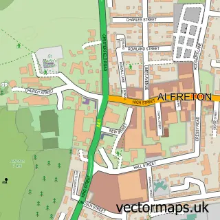
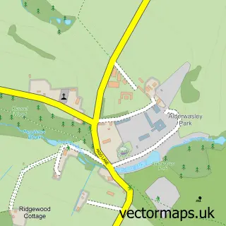
This Crich street map is a detailed vector street map covering a 750m x 750m area. Select a larger area to create and download your own vector street map of Crich.
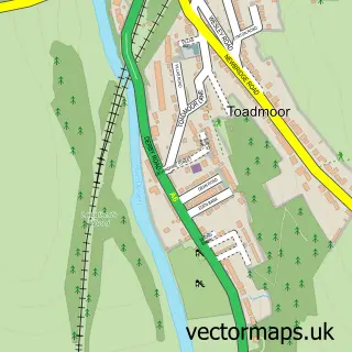
The 750-metre map sample for Crich covers 357 mapped buildings and approximately 20.3 km of road detail, of which 36 named roads are named. The immediate area includes 2 schools, 1 GP surgery, 3 pubs and 2 MOT stations within 2 miles. The wider area around Crich features 1 tourism point of interest, 3 food and drink venues and 1 hotel. To create a larger or custom map of Crich, the map builder lets you define your own coverage area and download editable SVG, PDF and PNG files.
Create a larger editable map of Crich
Choose any area you need and generate a high-quality vector map instantly. Perfect for print, planning, design, business and personal use.

This Crich street map in Derbyshire is available as downloadable SVG, PDF and PNG map files, or as a printed map for planning, business, display, education, local information and design work. You can also create a larger custom map area using the map selector.
What this Crich map sample shows
Crich lies within Crich Cp parish, part of Crich ward in the Amber Valley District (B) local authority area. The postcode geography for this area includes the DE postcode area, the DE4 postcode district and the DE4 5 postcode sector. Residents fall under the Nhs Derby And Derbyshire Integrated Care Board for NHS services.
Local features near Crich
Within 2 milesAmenities and services in and around Crich.
Administrative and postcode information for Crich
Crich lies within Crich Cp parish, part of Crich ward in the Amber Valley District (B) local authority area. The postcode geography for this area includes the DE postcode area, the DE4 postcode district and the DE4 5 postcode sector. Residents fall under the Nhs Derby And Derbyshire Integrated Care Board for NHS services.
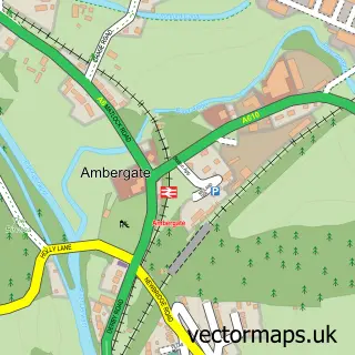
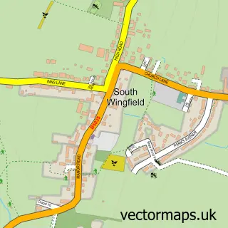
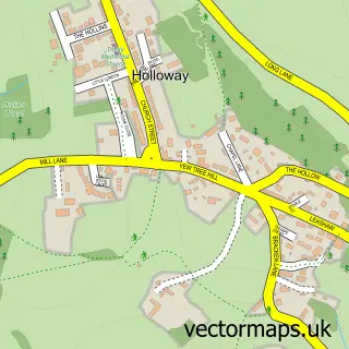
Nearby street map samples around Crich

More street maps in Derbyshire
750 metre map area coverage
Boundary, postcode and point of interest information for the 750m x 750m rectangle centred on this sample map.
Boundaries containing map centre
Constituency: Derbyshire Dales Co Const
County: Derbyshire County
District: Amber Valley District (B)
Icb: NHS Derby and Derbyshire ICB
Parish: Crich CP
Police Force: derbyshire
Postcode District: DE4
Postcode Sector: DE4 5
Ward: Crich & South Wingfield Ward
Nearby boundaries intersecting sample
No additional intersecting boundaries found.
Postcode coverage
POI category counts
Pub: 3
Beauty Salon: 2
Construction Services: 2
Convenience Store: 2
Doctor: 2
Elementary School: 2
Sign Making: 2
Accountant: 1
Art Gallery: 1
Arts And Entertainment: 1
Sample points of interest
- Hub3 Limited
- Cromford
- Irene Brierton
- Daizy Babies Limited
- The Loaf
- Crich Baptist Church
- Crich Comrades Club
- Crich Hair and Beauty
- The Beauty Lodge Crich
- Thinking It Better
- Crich Butchers
- TG Fletcher
Create a larger editable map of Crich
This sample shows only a 750 metre area. To create a larger map of Crich, use our map builder to choose your own coverage area, add titles and download editable SVG, PDF and PNG files.
Create a custom map of Crich