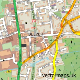
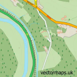
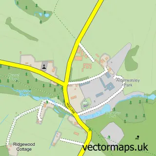
This Ambergate street map is a detailed vector street map covering a 750m x 750m area. Select a larger area to create and download your own vector street map of Ambergate.
The 750-metre map sample for Ambergate covers 135 mapped buildings and approximately 13.7 km of road detail, of which 12 named roads are named. The immediate area includes 1 school, 1 railway station, 1 GP surgery within 2 miles and 2 pubs among other local services. The wider area around Ambergate features 2 tourism points of interest, 5 food and drink venues and 2 hotels. To create a larger or custom map of Ambergate, the map builder lets you define your own coverage area and download editable SVG, PDF and PNG files.
Create a larger editable map of Ambergate
Choose any area you need and generate a high-quality vector map instantly. Perfect for print, planning, design, business and personal use.

This Ambergate street map in Derbyshire is available as downloadable SVG, PDF and PNG map files, or as a printed map for planning, business, display, education, local information and design work. You can also create a larger custom map area using the map selector.
What this Ambergate map sample shows
Ambergate lies within Ripley Cp parish, part of Heage And Ambergate ward in the Amber Valley District (B) local authority area. The postcode geography for this area includes the DE postcode area, the DE56 postcode district and the DE56 2 postcode sector. Residents fall under the Nhs Derby And Derbyshire Integrated Care Board for NHS services.
Local features near Ambergate
Within 2 milesAmenities and services in and around Ambergate.
Administrative and postcode information for Ambergate
The local authority covering Ambergate is Amber Valley District (B), within the county of Derbyshire. The settlement lies within Heage And Ambergate ward and Ripley Cp civil parish. The DE56 postcode district and DE56 2 postcode sector serve the immediate area. NHS provision in the area is delivered through University Hospitals Of Derby And Burton Nhs Foundation Trust.
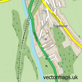
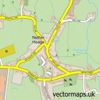
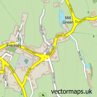
Nearby street map samples around Ambergate

More street maps in Derbyshire
750 metre map area coverage
Boundary, postcode and point of interest information for the 750m x 750m rectangle centred on this sample map.
Boundaries containing map centre
Constituency: Amber Valley Co Const
County: Derbyshire County
District: Amber Valley District (B)
Icb: NHS Derby and Derbyshire ICB
Parish: Ripley CP
Police Force: derbyshire
Postcode District: DE56
Postcode Sector: DE56 2
Ward: Heage & Ambergate Ward
Nearby boundaries intersecting sample
Constituency: Derbyshire Dales Co Const
Parish: Alderwasley CP
Ward: Alport & South West Parishes Ward, Crich & South Wingfield Ward
Postcode coverage
POI category counts
Train Station: 4
Building Supply Store: 3
Gas Station: 3
Automotive Repair: 2
Coffee Shop: 2
Convenience Store: 2
Hotel: 2
Pub: 2
Anglican Church: 1
Atms: 1
Sample points of interest
- St Anne
- MPK Riverside Service Station , Ambergate
- KAM Servicing
- KAM Servicing
- Corner Cafe
- Midway Fencing Contractors
- Ambergate Country Furniture
- J C Balls & Sons
- William Bailey
- Bridge House - Ambergate
- Flooring Derbyshire Ltd
- R M B Contractors Ltd.
Create a larger editable map of Ambergate
This sample shows only a 750 metre area. To create a larger map of Ambergate, use our map builder to choose your own coverage area, add titles and download editable SVG, PDF and PNG files.
Create a custom map of Ambergate