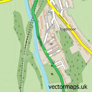
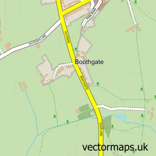
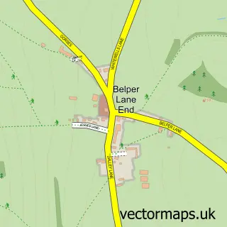
This Nether Heage street map is a detailed vector street map covering a 750m x 750m area. Select a larger area to create and download your own vector street map of Nether Heage.
The 750-metre map sample for Nether Heage covers 200 mapped buildings and approximately 12.0 km of road detail, of which 12 named roads are named. The immediate area includes 1 GP surgery within 2 miles, 1 pub and 5 MOT stations within 2 miles. The wider area around Nether Heage features 1 tourism point of interest and 1 food and drink venue. To create a larger or custom map of Nether Heage, the map builder lets you define your own coverage area and download editable SVG, PDF and PNG files.
Create a larger editable map of Nether Heage
Choose any area you need and generate a high-quality vector map instantly. Perfect for print, planning, design, business and personal use.

This Nether Heage street map in Derbyshire is available as downloadable SVG, PDF and PNG map files, or as a printed map for planning, business, display, education, local information and design work. You can also create a larger custom map area using the map selector.
What this Nether Heage map sample shows
Nether Heage lies within Ripley Cp parish, part of Heage And Ambergate ward in the Amber Valley District (B) local authority area. The postcode geography for this area includes the DE postcode area, the DE56 postcode district and the DE56 2 postcode sector. Residents fall under the Nhs Derby And Derbyshire Integrated Care Board for NHS services.
Local features near Nether Heage
Within 2 milesAmenities and services in and around Nether Heage.
Administrative and postcode information for Nether Heage
Nether Heage lies within Ripley Cp parish, part of Heage And Ambergate ward in the Amber Valley District (B) local authority area. The postcode geography for this area includes the DE postcode area, the DE56 postcode district and the DE56 2 postcode sector. Residents fall under the Nhs Derby And Derbyshire Integrated Care Board for NHS services.
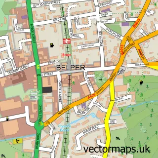
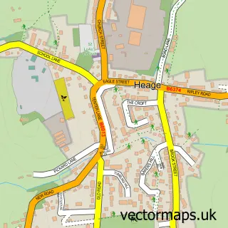
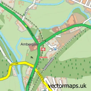
Nearby street map samples around Nether Heage

More street maps in Derbyshire
750 metre map area coverage
Boundary, postcode and point of interest information for the 750m x 750m rectangle centred on this sample map.
Boundaries containing map centre
Constituency: Amber Valley Co Const
County: Derbyshire County
District: Amber Valley District (B)
Icb: NHS Derby and Derbyshire ICB
Parish: Ripley CP
Police Force: derbyshire
Postcode District: DE56
Postcode Sector: DE56 2
Ward: Heage & Ambergate Ward
Nearby boundaries intersecting sample
No additional intersecting boundaries found.
Postcode coverage
POI category counts
Accommodation: 1
Agriculture: 1
Art Gallery: 1
Building Supply Store: 1
Castle: 1
Dog Trainer: 1
Education: 1
Homeopathic Medicine: 1
It Service And Computer Repair: 1
Music Production: 1
Sample points of interest
- Nether Heage
- Two Fellas Tree Fellers
- Croft Farm Art Barn
- LPG Plumbing & Heating
- Cote D’jardin
- One Dog Training
- DVS Training
- Signature Holistic Therapies
- Fixes Computers Belper
- Amberedge Music Studio
- Nether Heage Park
- The Spanker Inn
Create a larger editable map of Nether Heage
This sample shows only a 750 metre area. To create a larger map of Nether Heage, use our map builder to choose your own coverage area, add titles and download editable SVG, PDF and PNG files.
Create a custom map of Nether Heage