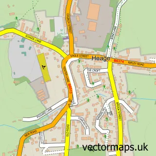
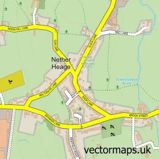
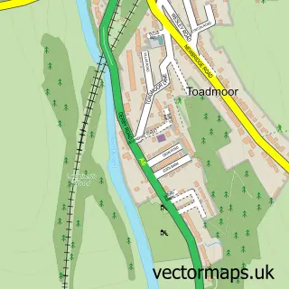
This Boothgate street map is a detailed vector street map covering a 750m x 750m area. Select a larger area to create and download your own vector street map of Boothgate.
The 750-metre map sample for Boothgate covers 79 mapped buildings and approximately 6.4 km of road detail, of which 7 named roads are named. The immediate area includes 4 GP surgeries within 2 miles and 11 MOT stations within 2 miles. To create a larger or custom map of Boothgate, the map builder lets you define your own coverage area and download editable SVG, PDF and PNG files.
Create a larger editable map of Boothgate
Choose any area you need and generate a high-quality vector map instantly. Perfect for print, planning, design, business and personal use.

This Boothgate street map in Derbyshire is available as downloadable SVG, PDF and PNG map files, or as a printed map for planning, business, display, education, local information and design work. You can also create a larger custom map area using the map selector.
What this Boothgate map sample shows
Boothgate lies within Ripley Cp parish, part of Heage And Ambergate ward in the Amber Valley District (B) local authority area. The postcode geography for this area includes the DE postcode area, the DE56 postcode district and the DE56 2 postcode sector. Residents fall under the Nhs Derby And Derbyshire Integrated Care Board for NHS services.
Local features near Boothgate
Within 2 milesAmenities and services in and around Boothgate.
Administrative and postcode information for Boothgate
Boothgate lies within Ripley Cp parish, part of Heage And Ambergate ward in the Amber Valley District (B) local authority area. The postcode geography for this area includes the DE postcode area, the DE56 postcode district and the DE56 2 postcode sector. Residents fall under the Nhs Derby And Derbyshire Integrated Care Board for NHS services.
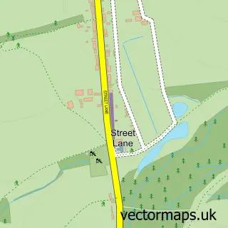
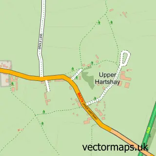
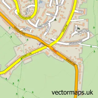
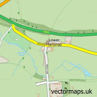
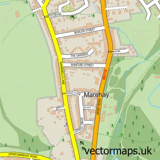
Nearby street map samples around Boothgate
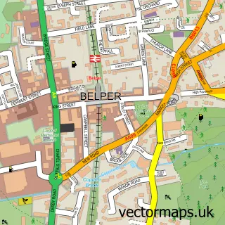

More street maps in Derbyshire
750 metre map area coverage
Boundary, postcode and point of interest information for the 750m x 750m rectangle centred on this sample map.
Boundaries containing map centre
Constituency: Amber Valley Co Const
County: Derbyshire County
District: Amber Valley District (B)
Icb: NHS Derby and Derbyshire ICB
Parish: Ripley CP
Police Force: derbyshire
Postcode District: DE56
Postcode Sector: DE56 2
Ward: Heage & Ambergate Ward
Nearby boundaries intersecting sample
Constituency: Mid Derbyshire Co Const
Parish: Belper CP
Postcode Sector: DE56 0
Ward: Belper East Ward
Postcode coverage
POI category counts
Convenience Store: 2
Farmers Market: 1
Package Locker: 1
Rental Service: 1
Shipping Center: 1
Sample points of interest
- Fourways Stores
- SPAR Heage
- Heage Eggs & Poultry
- InPost
- Heage Bouncy Castle Hire
- Westbank Drop & Collect Post Office
Create a larger editable map of Boothgate
This sample shows only a 750 metre area. To create a larger map of Boothgate, use our map builder to choose your own coverage area, add titles and download editable SVG, PDF and PNG files.
Create a custom map of Boothgate