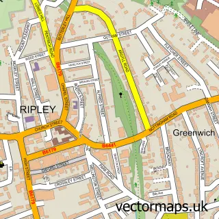
This Marehay street map is a detailed vector street map covering a 750m x 750m area. Select a larger area to create and download your own vector street map of Marehay.
The 750-metre map sample for Marehay covers 273 mapped buildings and approximately 11.2 km of road detail, of which 15 named roads are named. The immediate area includes 2 GP surgeries within 2 miles, 2 pubs and 1 MOT station, with 11 within 2 miles. The wider area around Marehay features 1 tourism point of interest and 2 food and drink venues. To create a larger or custom map of Marehay, the map builder lets you define your own coverage area and download editable SVG, PDF and PNG files.
Create a larger editable map of Marehay
Choose any area you need and generate a high-quality vector map instantly. Perfect for print, planning, design, business and personal use.

This Marehay street map in Derbyshire is available as downloadable SVG, PDF and PNG map files, or as a printed map for planning, business, display, education, local information and design work. You can also create a larger custom map area using the map selector.
What this Marehay map sample shows
Marehay lies within Ripley Cp parish, part of Ripley ward in the Amber Valley District (B) local authority area. The postcode geography for this area includes the DE postcode area, the DE5 postcode district and the DE5 3 postcode sector. Residents fall under the Nhs Derby And Derbyshire Integrated Care Board for NHS services.
Local features near Marehay
Within 2 milesAmenities and services in and around Marehay.
Administrative and postcode information for Marehay
Marehay lies within Ripley Cp parish, part of Ripley ward in the Amber Valley District (B) local authority area. The postcode geography for this area includes the DE postcode area, the DE5 postcode district and the DE5 3 postcode sector. Residents fall under the Nhs Derby And Derbyshire Integrated Care Board for NHS services.
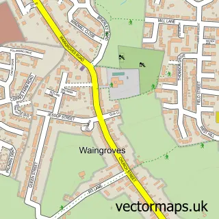
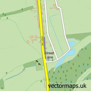
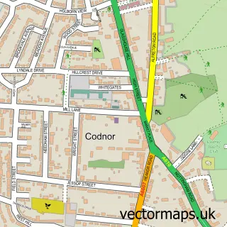
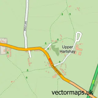
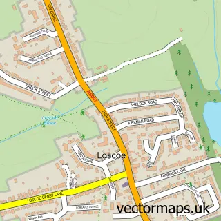
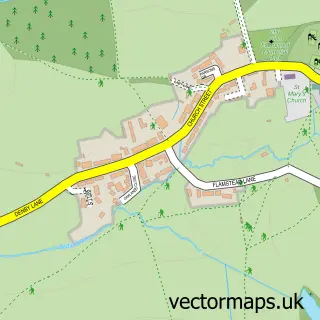
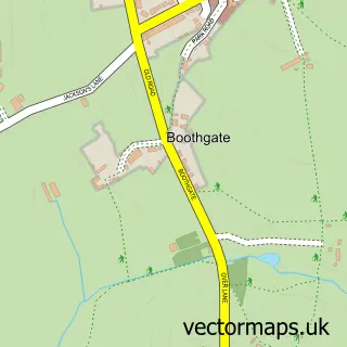
Nearby street map samples around Marehay

More street maps in Derbyshire
750 metre map area coverage
Boundary, postcode and point of interest information for the 750m x 750m rectangle centred on this sample map.
Boundaries containing map centre
Constituency: Amber Valley Co Const
County: Derbyshire County
District: Amber Valley District (B)
Icb: NHS Derby and Derbyshire ICB
Parish: Ripley CP
Police Force: derbyshire
Postcode District: DE5
Postcode Sector: DE5 8
Ward: Ripley & Marehay Ward
Nearby boundaries intersecting sample
Postcode Sector: DE5 9
Ward: Ripley Ward
Postcode coverage
POI category counts
Automotive Repair: 4
Building Supply Store: 3
Car Dealer: 2
Electrician: 2
Pub: 2
Accountant: 1
Automotive: 1
Automotive Dealer: 1
Beauty Salon: 1
Car Rental Agency: 1
Sample points of interest
- Ian Warton-Woods Accountancy and Consultancy
- B K Autos
- Derbyshire Used Van Sales
- Autofix
- Autofix
- Automech Midlands
- Midland Car Centre
- Serene Retreat
- ASP Electrical
- E Johnson Electrical Services
- Poppyfield Interiors
- Midland car centre ripley
Create a larger editable map of Marehay
This sample shows only a 750 metre area. To create a larger map of Marehay, use our map builder to choose your own coverage area, add titles and download editable SVG, PDF and PNG files.
Create a custom map of Marehay