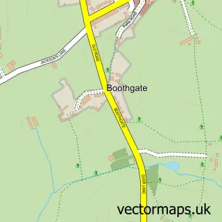
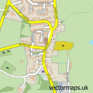
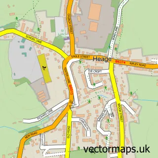
This Openwoodgate street map is a detailed vector street map covering a 750m x 750m area. Select a larger area to create and download your own vector street map of Openwoodgate.
The 750-metre map sample for Openwoodgate covers 341 mapped buildings and approximately 14.4 km of road detail, of which 20 named roads are named. The immediate area includes 3 GP surgeries within 2 miles, 2 pubs and 9 MOT stations within 2 miles. The wider area around Openwoodgate features 2 food and drink venues and 1 hotel. To create a larger or custom map of Openwoodgate, the map builder lets you define your own coverage area and download editable SVG, PDF and PNG files.
Create a larger editable map of Openwoodgate
Choose any area you need and generate a high-quality vector map instantly. Perfect for print, planning, design, business and personal use.

This Openwoodgate street map in Derbyshire is available as downloadable SVG, PDF and PNG map files, or as a printed map for planning, business, display, education, local information and design work. You can also create a larger custom map area using the map selector.
What this Openwoodgate map sample shows
Openwoodgate lies within Belper Cp parish, part of Belper Central ward in the Amber Valley District (B) local authority area. The postcode geography for this area includes the DE postcode area, the DE56 postcode district and the DE56 1 postcode sector. Residents fall under the Nhs Derby And Derbyshire Integrated Care Board for NHS services.
Local features near Openwoodgate
Within 2 milesAmenities and services in and around Openwoodgate.
Administrative and postcode information for Openwoodgate
Openwoodgate lies within Belper Cp parish, part of Belper Central ward in the Amber Valley District (B) local authority area. The postcode geography for this area includes the DE postcode area, the DE56 postcode district and the DE56 1 postcode sector. Residents fall under the Nhs Derby And Derbyshire Integrated Care Board for NHS services.
Nearby street map samples around Openwoodgate
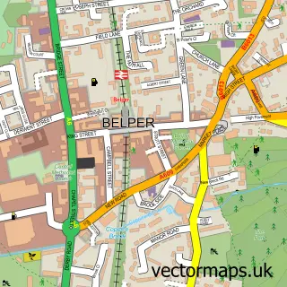

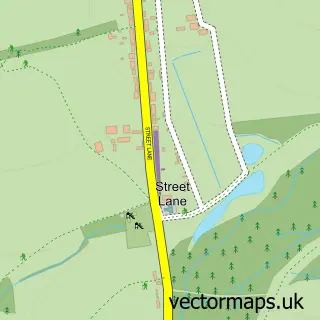
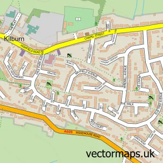
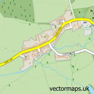
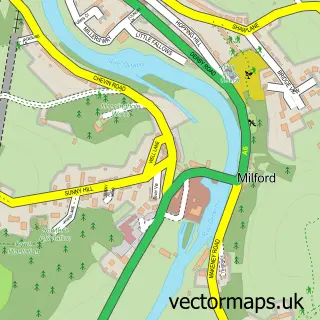
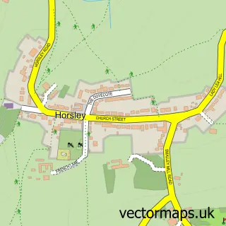
More street maps in Derbyshire
750 metre map area coverage
Boundary, postcode and point of interest information for the 750m x 750m rectangle centred on this sample map.
Boundaries containing map centre
Constituency: Amber Valley Co Const
County: Derbyshire County
District: Amber Valley District (B)
Icb: NHS Derby and Derbyshire ICB
Parish: Denby CP
Police Force: derbyshire
Postcode District: DE56
Postcode Sector: DE56 0
Ward: Belper South Ward
Nearby boundaries intersecting sample
Constituency: Mid Derbyshire Co Const
Parish: Belper CP, Kilburn CP
Postcode Sector: DE56 1
Ward: Belper East Ward, Kilburn, Denby, Holbrook & Horsley Ward
Postcode coverage
POI category counts
Cleaning Services: 2
Preschool: 2
Pub: 2
Supermarket: 2
Animal Shelter: 1
Automation Services: 1
Bridal Shop: 1
Building Supply Store: 1
Butcher Shop: 1
Carpenter: 1
Sample points of interest
- Kilburn K9s
- IJPUK Solutions
- Bella-brides Bridal Studio
- N P Collick
- G.B Maycock & Sons
- Shaun Taylor Carpentry
- Carpet Care
- Ian Wilson Carpets
- Derbyshire County Council Social Services Department Day Cen
- St Mark's Church
- Belper Chimney Cleaning Service
- Carpet Care
Create a larger editable map of Openwoodgate
This sample shows only a 750 metre area. To create a larger map of Openwoodgate, use our map builder to choose your own coverage area, add titles and download editable SVG, PDF and PNG files.
Create a custom map of Openwoodgate