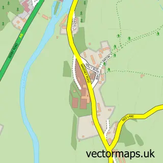
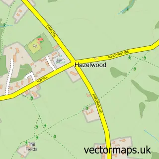
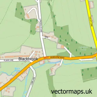
This Milford street map is a detailed vector street map covering a 750m x 750m area. Select a larger area to create and download your own vector street map of Milford.
The 750-metre map sample for Milford covers 182 mapped buildings and approximately 21.1 km of road detail, of which 18 named roads are named. The immediate area includes 1 school, 2 GP surgeries within 2 miles, 4 pubs and 9 MOT stations within 2 miles. The wider area around Milford features 1 tourism point of interest, 7 food and drink venues and 1 hotel. To create a larger or custom map of Milford, the map builder lets you define your own coverage area and download editable SVG, PDF and PNG files.
Create a larger editable map of Milford
Choose any area you need and generate a high-quality vector map instantly. Perfect for print, planning, design, business and personal use.

This Milford street map in Derbyshire is available as downloadable SVG, PDF and PNG map files, or as a printed map for planning, business, display, education, local information and design work. You can also create a larger custom map area using the map selector.
What this Milford map sample shows
Milford lies within Belper Cp parish, part of Belper South ward in the Amber Valley District (B) local authority area. The postcode geography for this area includes the DE postcode area, the DE56 postcode district and the DE56 0 postcode sector. Residents fall under the Nhs Derby And Derbyshire Integrated Care Board for NHS services.
Local features near Milford
Within 2 milesAmenities and services in and around Milford.
Administrative and postcode information for Milford
Milford lies within Belper Cp parish, part of Belper South ward in the Amber Valley District (B) local authority area. The postcode geography for this area includes the DE postcode area, the DE56 postcode district and the DE56 0 postcode sector. Residents fall under the Nhs Derby And Derbyshire Integrated Care Board for NHS services.
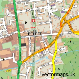
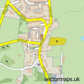
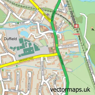
Nearby street map samples around Milford

More street maps in Derbyshire
750 metre map area coverage
Boundary, postcode and point of interest information for the 750m x 750m rectangle centred on this sample map.
Boundaries containing map centre
Constituency: Mid Derbyshire Co Const
County: Derbyshire County
District: Amber Valley District (B)
Icb: NHS Derby and Derbyshire ICB
Parish: Belper CP
Police Force: derbyshire
Postcode District: DE56
Postcode Sector: DE56 0
Ward: Belper South Ward
Nearby boundaries intersecting sample
Postcode Sector: DE56 2
Postcode coverage
POI category counts
Professional Services: 4
Pub: 4
Restaurant: 3
Advertising Agency: 2
Gym: 2
It Service And Computer Repair: 2
Landmark And Historical Building: 2
Pet Groomer: 2
Accountant: 1
Archery Range: 1
Sample points of interest
- RLTP Accountants
- Social Solutions
- Social Solutions
- Aequus Archers
- Milford
- Kingwilliam 1v
- The Village Book Store
- The Ivory Outlet
- Healthwatch Derbyshire
- Holy Trinity Church
- Milford Interiors
- Mental Health Together
Create a larger editable map of Milford
This sample shows only a 750 metre area. To create a larger map of Milford, use our map builder to choose your own coverage area, add titles and download editable SVG, PDF and PNG files.
Create a custom map of Milford