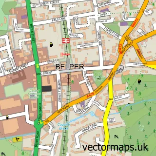
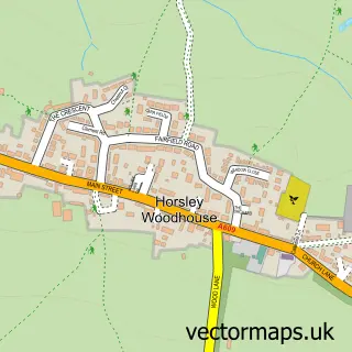
This Holbrook street map is a detailed vector street map covering a 750m x 750m area. Select a larger area to create and download your own vector street map of Holbrook.
The 750-metre map sample for Holbrook covers 208 mapped buildings and approximately 14.4 km of road detail, of which 17 named roads are named. The immediate area includes 1 school, 2 GP surgeries within 2 miles, 1 pub and 8 MOT stations within 2 miles. The wider area around Holbrook features 1 tourism point of interest and 1 food and drink venue. To create a larger or custom map of Holbrook, the map builder lets you define your own coverage area and download editable SVG, PDF and PNG files.
Create a larger editable map of Holbrook
Choose any area you need and generate a high-quality vector map instantly. Perfect for print, planning, design, business and personal use.

This Holbrook street map in Derbyshire is available as downloadable SVG, PDF and PNG map files, or as a printed map for planning, business, display, education, local information and design work. You can also create a larger custom map area using the map selector.
What this Holbrook map sample shows
Holbrook lies within Holbrook Cp parish, part of Kilburn, Denby And Holbrook ward in the Amber Valley District (B) local authority area. The postcode geography for this area includes the DE postcode area, the DE56 postcode district and the DE56 0 postcode sector. Residents fall under the Nhs Derby And Derbyshire Integrated Care Board for NHS services.
Local features near Holbrook
Within 2 milesAmenities and services in and around Holbrook.
Administrative and postcode information for Holbrook
The local authority covering Holbrook is Amber Valley District (B), within the county of Derbyshire. The settlement lies within Kilburn, Denby And Holbrook ward and Holbrook Cp civil parish. The DE56 postcode district and DE56 0 postcode sector serve the immediate area. NHS provision in the area is delivered through University Hospitals Of Derby And Burton Nhs Foundation Trust.
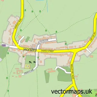
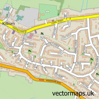
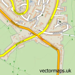
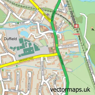
Nearby street map samples around Holbrook

More street maps in Derbyshire
750 metre map area coverage
Boundary, postcode and point of interest information for the 750m x 750m rectangle centred on this sample map.
Boundaries containing map centre
Constituency: Amber Valley Co Const
County: Derbyshire County
District: Amber Valley District (B)
Icb: NHS Derby and Derbyshire ICB
Parish: Holbrook CP
Police Force: derbyshire
Postcode District: DE56
Postcode Sector: DE56 0
Ward: Kilburn, Denby, Holbrook & Horsley Ward
Nearby boundaries intersecting sample
No additional intersecting boundaries found.
Postcode coverage
POI category counts
Anglican Church: 1
Bar: 1
Bicycle Shop: 1
Cabin: 1
Church Cathedral: 1
College University: 1
Currency Exchange: 1
Dog Walkers: 1
Horse Boarding: 1
Landscape Architect: 1
Sample points of interest
- St Michael's, Holbrook, Derbyshire
- Holbrook Community Society Cafe
- Detail Bike Tech
- Peak Manor
- St Michael's Church
- Holbrook Centre for Autism
- Post Office-Holbrook
- Buddy's Galore
- Nether Farm Stables
- JB Landscapes (Holbrook)
- Mellors Lane Park
- Clare Bufton Gardens
Create a larger editable map of Holbrook
This sample shows only a 750 metre area. To create a larger map of Holbrook, use our map builder to choose your own coverage area, add titles and download editable SVG, PDF and PNG files.
Create a custom map of Holbrook