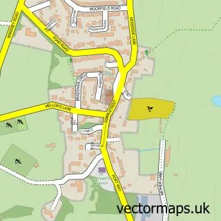
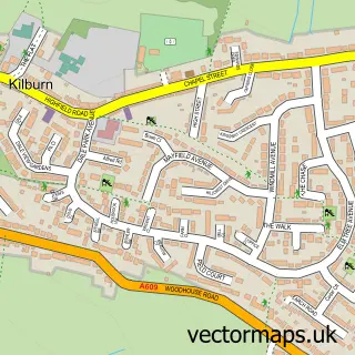
This Makeney street map is a detailed vector street map covering a 750m x 750m area. Select a larger area to create and download your own vector street map of Makeney.
The 750-metre map sample for Makeney covers 55 mapped buildings and approximately 9.5 km of road detail, of which 7 named roads are named. The immediate area includes 2 GP surgeries within 2 miles, 2 pubs and 9 MOT stations within 2 miles. The wider area around Makeney features 3 food and drink venues and 3 hotels. To create a larger or custom map of Makeney, the map builder lets you define your own coverage area and download editable SVG, PDF and PNG files.
Create a larger editable map of Makeney
Choose any area you need and generate a high-quality vector map instantly. Perfect for print, planning, design, business and personal use.

This Makeney street map in Derbyshire is available as downloadable SVG, PDF and PNG map files, or as a printed map for planning, business, display, education, local information and design work. You can also create a larger custom map area using the map selector.
What this Makeney map sample shows
Makeney lies within Belper Cp parish, part of Belper South ward in the Amber Valley District (B) local authority area. The postcode geography for this area includes the DE postcode area, the DE56 postcode district and the DE56 0 postcode sector. Residents fall under the Nhs Derby And Derbyshire Integrated Care Board for NHS services.
Local features near Makeney
Within 2 milesAmenities and services in and around Makeney.
Administrative and postcode information for Makeney
The local authority covering Makeney is Amber Valley District (B), within the county of Derbyshire. The settlement lies within Belper South ward and Belper Cp civil parish. The DE56 postcode district and DE56 0 postcode sector serve the immediate area. NHS provision in the area is delivered through University Hospitals Of Derby And Burton Nhs Foundation Trust.
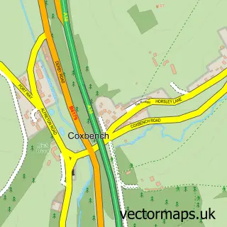
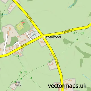
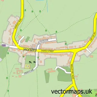
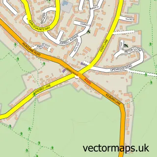
Nearby street map samples around Makeney
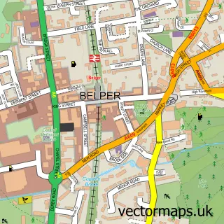

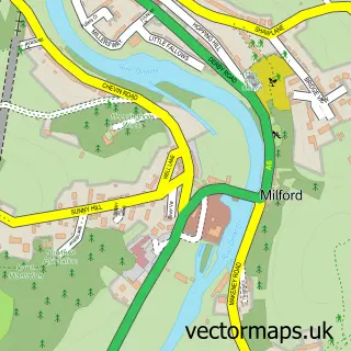
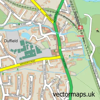
More street maps in Derbyshire
750 metre map area coverage
Boundary, postcode and point of interest information for the 750m x 750m rectangle centred on this sample map.
Boundaries containing map centre
Constituency: Mid Derbyshire Co Const
County: Derbyshire County
District: Amber Valley District (B)
Icb: NHS Derby and Derbyshire ICB
Parish: Belper CP
Police Force: derbyshire
Postcode District: DE56
Postcode Sector: DE56 0
Ward: Belper South Ward
Nearby boundaries intersecting sample
No additional intersecting boundaries found.
Postcode coverage
POI category counts
Hotel: 3
Pub: 2
Archery Range: 1
Consultant And General Service: 1
Event Planning: 1
Gym: 1
Health And Medical: 1
Martial Arts Club: 1
Party And Event Planning: 1
Property Management: 1
Sample points of interest
- Aequus Archers
- Pure Precision Health Beauty And PMU
- Nealies Function Rooms
- Riverside Fitness Centre
- Ignite Health Wellness & Performance | Health Consultants
- Makeney Hall Hotel
- SHL Hotels
- The Hollybush Inn, Makeney
- Kawagishi Dojo
- Princess Promotions
- Blue Line Homes
- Best Kitchen
Create a larger editable map of Makeney
This sample shows only a 750 metre area. To create a larger map of Makeney, use our map builder to choose your own coverage area, add titles and download editable SVG, PDF and PNG files.
Create a custom map of Makeney