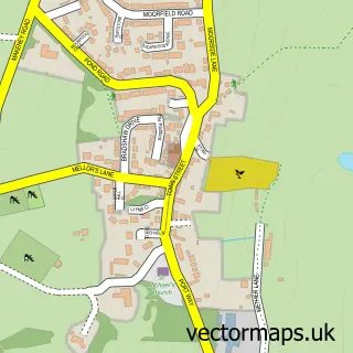
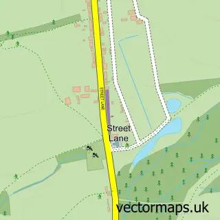
This Kilburn street map is a detailed vector street map covering a 750m x 750m area. Select a larger area to create and download your own vector street map of Kilburn.
The 750-metre map sample for Kilburn covers 497 mapped buildings and approximately 20.1 km of road detail, of which 37 named roads are named. The immediate area includes 2 schools, 2 GP surgeries within 2 miles and 8 MOT stations within 2 miles. The wider area around Kilburn features 1 tourism point of interest. To create a larger or custom map of Kilburn, the map builder lets you define your own coverage area and download editable SVG, PDF and PNG files.
Create a larger editable map of Kilburn
Choose any area you need and generate a high-quality vector map instantly. Perfect for print, planning, design, business and personal use.

This Kilburn street map in Derbyshire is available as downloadable SVG, PDF and PNG map files, or as a printed map for planning, business, display, education, local information and design work. You can also create a larger custom map area using the map selector.
What this Kilburn map sample shows
Kilburn lies within Kilburn Cp parish, part of Kilburn, Denby And Holbrook ward in the Amber Valley District (B) local authority area. The postcode geography for this area includes the DE postcode area, the DE56 postcode district and the DE56 0 postcode sector. Residents fall under the Nhs Derby And Derbyshire Integrated Care Board for NHS services.
Local features near Kilburn
Within 2 milesAmenities and services in and around Kilburn.
Administrative and postcode information for Kilburn
The local authority covering Kilburn is Amber Valley District (B), within the county of Derbyshire. The settlement lies within Kilburn, Denby And Holbrook ward and Kilburn Cp civil parish. The DE56 postcode district and DE56 0 postcode sector serve the immediate area. NHS provision in the area is delivered through University Hospitals Of Derby And Burton Nhs Foundation Trust.
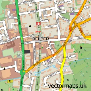
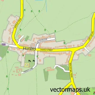
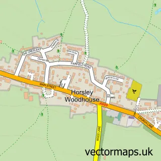
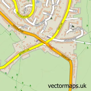
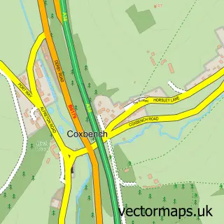
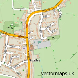
Nearby street map samples around Kilburn

More street maps in Derbyshire
750 metre map area coverage
Boundary, postcode and point of interest information for the 750m x 750m rectangle centred on this sample map.
Boundaries containing map centre
Constituency: Amber Valley Co Const
County: Derbyshire County
District: Amber Valley District (B)
Icb: NHS Derby and Derbyshire ICB
Parish: Kilburn CP
Police Force: derbyshire
Postcode District: DE56
Postcode Sector: DE56 0
Ward: Kilburn, Denby, Holbrook & Horsley Ward
Nearby boundaries intersecting sample
Parish: Horsley CP, Horsley Woodhouse CP
Postcode District: DE7
Postcode Sector: DE7 6
Postcode coverage
POI category counts
Elementary School: 2
Hair Salon: 2
Shipping Center: 2
Transportation: 2
Ambulance And Ems Services: 1
Assisted Living Facility: 1
Atms: 1
Barber: 1
Beauty Salon: 1
Bridal Shop: 1
Sample points of interest
- UK Event Medix
- Kilburn Care Home
- ATM (Post Office)
- Kilburn Barbers
- QueenB's Mobile Hairdressing Derbyshire & Staffordshire
- Purple Ribbon Wedding Planners
- John Davies Electrical Contractor
- violets boutique
- Jade Garden
- Kilburn Methodist Church
- Metro Foods
- Post Office Travel Money
Create a larger editable map of Kilburn
This sample shows only a 750 metre area. To create a larger map of Kilburn, use our map builder to choose your own coverage area, add titles and download editable SVG, PDF and PNG files.
Create a custom map of Kilburn