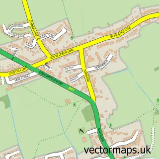
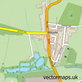
This Westhouses street map is a detailed vector street map covering a 750m x 750m area. Select a larger area to create and download your own vector street map of Westhouses.
The 750-metre map sample for Westhouses covers 119 mapped buildings and approximately 12.0 km of road detail, of which 7 named roads are named. The immediate area includes 3 GP surgeries within 2 miles, 1 pub and 6 MOT stations within 2 miles. The wider area around Westhouses features 2 food and drink venues. To create a larger or custom map of Westhouses, the map builder lets you define your own coverage area and download editable SVG, PDF and PNG files.
Create a larger editable map of Westhouses
Choose any area you need and generate a high-quality vector map instantly. Perfect for print, planning, design, business and personal use.

This Westhouses street map in Derbyshire is available as downloadable SVG, PDF and PNG map files, or as a printed map for planning, business, display, education, local information and design work. You can also create a larger custom map area using the map selector.
What this Westhouses map sample shows
Westhouses lies within Blackwell Cp parish, part of Blackwell ward in the Bolsover District local authority area. The postcode geography for this area includes the DE postcode area, the DE55 postcode district and the DE55 5 postcode sector. Residents fall under the Nhs Derby And Derbyshire Integrated Care Board for NHS services.
Local features near Westhouses
Within 2 milesAmenities and services in and around Westhouses.
Administrative and postcode information for Westhouses
Westhouses lies within Blackwell Cp parish, part of Blackwell ward in the Bolsover District local authority area. The postcode geography for this area includes the DE postcode area, the DE55 postcode district and the DE55 5 postcode sector. Residents fall under the Nhs Derby And Derbyshire Integrated Care Board for NHS services.
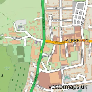
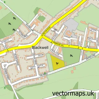
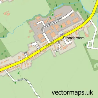
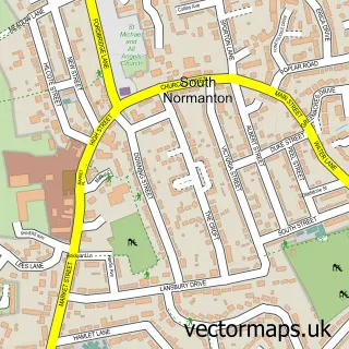
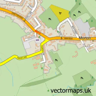
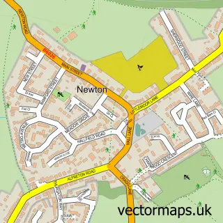
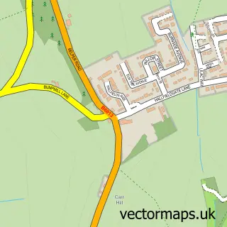
Nearby street map samples around Westhouses

More street maps in Derbyshire
750 metre map area coverage
Boundary, postcode and point of interest information for the 750m x 750m rectangle centred on this sample map.
Boundaries containing map centre
Constituency: Bolsover Co Const
County: Derbyshire County
District: Bolsover District
Icb: NHS Derby and Derbyshire ICB
Parish: Blackwell CP
Police Force: derbyshire
Postcode District: DE55
Postcode Sector: DE55 5
Ward: Blackwell Ward
Nearby boundaries intersecting sample
District: North East Derbyshire District
Parish: Shirland and Higham CP, South Normanton CP
Postcode Sector: DE55 2, DE55 6, DE55 7
Ward: Shirland Ward, South Normanton West Ward
Postcode coverage
POI category counts
Active Life: 1
Car Dealer: 1
Church Cathedral: 1
Metal Supplier: 1
Pet Groomer: 1
Printing Equipment And Supply: 1
Pub: 1
Restaurant: 1
Sample points of interest
- Parkmill Stables Livery
- Express Cars UK
- Westhouses Methodist Church
- Adaxxa
- Aculsia Dog Grooming
- Kaydor Signs
- The Station Hotel
- Coley's Supper Club
Create a larger editable map of Westhouses
This sample shows only a 750 metre area. To create a larger map of Westhouses, use our map builder to choose your own coverage area, add titles and download editable SVG, PDF and PNG files.
Create a custom map of Westhouses