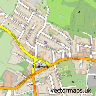
This Tibshelf street map is a detailed vector street map covering a 750m x 750m area. Select a larger area to create and download your own vector street map of Tibshelf.
The 750-metre map sample for Tibshelf covers 404 mapped buildings and approximately 18.8 km of road detail, of which 24 named roads are named. The immediate area includes 1 school, 1 GP surgery within 2 miles, 3 pubs and 1 MOT station, with 5 within 2 miles. The wider area around Tibshelf features 1 tourism point of interest, 3 food and drink venues and 2 hotels. To create a larger or custom map of Tibshelf, the map builder lets you define your own coverage area and download editable SVG, PDF and PNG files.
Create a larger editable map of Tibshelf
Choose any area you need and generate a high-quality vector map instantly. Perfect for print, planning, design, business and personal use.

This Tibshelf street map in Derbyshire is available as downloadable SVG, PDF and PNG map files, or as a printed map for planning, business, display, education, local information and design work. You can also create a larger custom map area using the map selector.
What this Tibshelf map sample shows
Tibshelf lies within Tibshelf Cp parish, part of Tibshelf ward in the Bolsover District local authority area. The postcode geography for this area includes the DE postcode area, the DE55 postcode district and the DE55 5 postcode sector. Residents fall under the Nhs Derby And Derbyshire Integrated Care Board for NHS services.
Local features near Tibshelf
Within 2 milesAmenities and services in and around Tibshelf.
Administrative and postcode information for Tibshelf
The local authority covering Tibshelf is Bolsover District, within the county of Derbyshire. The settlement lies within Tibshelf ward and Tibshelf Cp civil parish. The DE55 postcode district and DE55 5 postcode sector serve the immediate area. NHS provision in the area is delivered through Chesterfield Royal Hospital Nhs Foundation Trust.
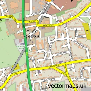
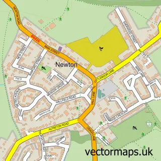
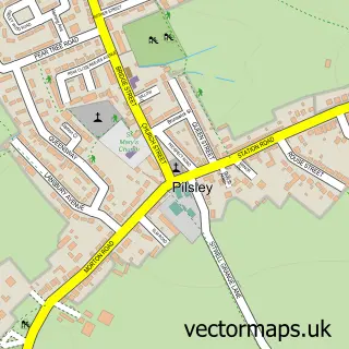
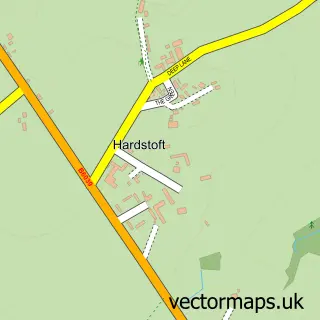
Nearby street map samples around Tibshelf

More street maps in Derbyshire
750 metre map area coverage
Boundary, postcode and point of interest information for the 750m x 750m rectangle centred on this sample map.
Boundaries containing map centre
Constituency: Bolsover Co Const
County: Derbyshire County
District: Bolsover District
Icb: NHS Derby and Derbyshire ICB
Parish: Tibshelf CP
Police Force: derbyshire
Postcode District: DE55
Postcode Sector: DE55 5
Ward: Tibshelf Ward
Nearby boundaries intersecting sample
No additional intersecting boundaries found.
Postcode coverage
POI category counts
Church Cathedral: 3
Laundromat: 3
Pub: 3
Advertising Agency: 2
Atms: 2
Business Management Services: 2
Convenience Store: 2
Home Health Care: 2
Hotel: 2
Pet Groomer: 2
Sample points of interest
- Creative Forum
- Creative Forum
- St John the Baptist
- Parker Liddle Architecture
- ATM (Post Office)
- PayPoint
- RV
- R V Trimmings
- High Street Auto Centre
- Wheatsheaf Hotel
- Sizzasbarbers
- ZOO Glamour Tibshelf
Create a larger editable map of Tibshelf
This sample shows only a 750 metre area. To create a larger map of Tibshelf, use our map builder to choose your own coverage area, add titles and download editable SVG, PDF and PNG files.
Create a custom map of Tibshelf