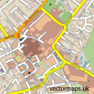
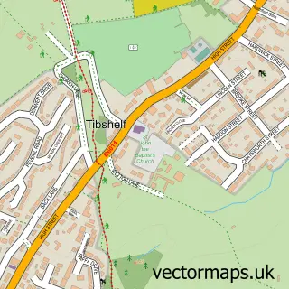
This Stanton Hill street map is a detailed vector street map covering a 750m x 750m area. Select a larger area to create and download your own vector street map of Stanton Hill.
The 750-metre map sample for Stanton Hill covers 398 mapped buildings and approximately 21.1 km of road detail, of which 35 named roads are named. The immediate area includes 1 school, 4 GP surgeries within 2 miles, 1 pub and 16 MOT stations within 2 miles. The wider area around Stanton Hill features 2 food and drink venues and 1 campsite within 2 miles. To create a larger or custom map of Stanton Hill, the map builder lets you define your own coverage area and download editable SVG, PDF and PNG files.
Create a larger editable map of Stanton Hill
Choose any area you need and generate a high-quality vector map instantly. Perfect for print, planning, design, business and personal use.

This Stanton Hill street map in Nottinghamshire is available as downloadable SVG, PDF and PNG map files, or as a printed map for planning, business, display, education, local information and design work. You can also create a larger custom map area using the map selector.
What this Stanton Hill map sample shows
Stanton Hill lies within Nottinghamshire County parish, part of Stanton Hill & Teversal ward in the Ashfield District local authority area. The postcode geography for this area includes the NG postcode area, the NG17 postcode district and the NG17 3 postcode sector. Residents fall under the Nhs Nottingham And Nottinghamshire Integrated Care Board for NHS services.
Local features near Stanton Hill
Within 2 milesAmenities and services in and around Stanton Hill.
Administrative and postcode information for Stanton Hill
Stanton Hill lies within Nottinghamshire County parish, part of Stanton Hill & Teversal ward in the Ashfield District local authority area. The postcode geography for this area includes the NG postcode area, the NG17 postcode district and the NG17 3 postcode sector. Residents fall under the Nhs Nottingham And Nottinghamshire Integrated Care Board for NHS services.
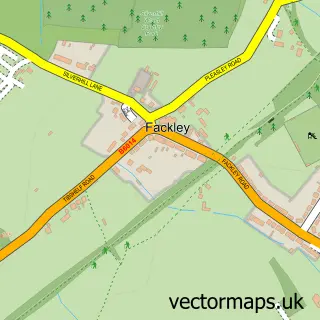
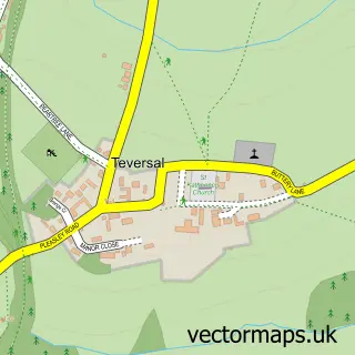
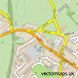
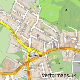
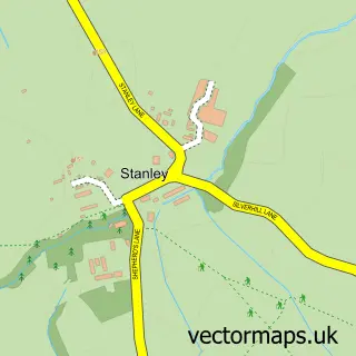
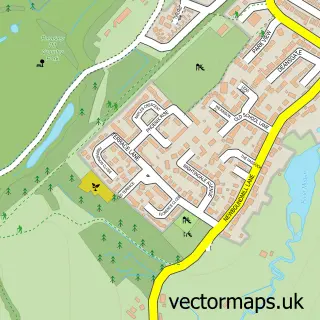
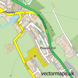
Nearby street map samples around Stanton Hill

More street maps in Nottinghamshire
750 metre map area coverage
Boundary, postcode and point of interest information for the 750m x 750m rectangle centred on this sample map.
Boundaries containing map centre
Constituency: Ashfield Co Const
County: Nottinghamshire County
District: Ashfield District
Icb: NHS Nottingham and Nottinghamshire ICB
Police Force: nottinghamshire
Postcode District: NG17
Postcode Sector: NG17 3
Ward: Stanton Hill & Teversal Ward
Nearby boundaries intersecting sample
Ward: Skegby Ward
Postcode coverage
POI category counts
Driving School: 3
Fast Food Restaurant: 3
Hair Salon: 3
Pet Store: 3
Building Supply Store: 2
Dog Walkers: 2
Package Locker: 2
Supermarket: 2
Taxi Service: 2
Anglican Church: 1
Sample points of interest
- All Saints' - Stanton Hill
- The Fabric Cabin
- New Lane Motors Ltd
- Hamiltons Vision Services
- Legend Cuts
- Beauty By Danielle
- Crowning Glory
- Starbox amateur boxing club
- Harvey's Home & Garden Maintenance
- Hemmings Floor Restoration
- LJG Building Services
- The Vine Tree Charity Shop
Create a larger editable map of Stanton Hill
This sample shows only a 750 metre area. To create a larger map of Stanton Hill, use our map builder to choose your own coverage area, add titles and download editable SVG, PDF and PNG files.
Create a custom map of Stanton Hill