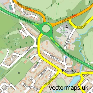
This Pleasley Hill street map is a detailed vector street map covering a 750m x 750m area. Select a larger area to create and download your own vector street map of Pleasley Hill.
The 750-metre map sample for Pleasley Hill covers 210 mapped buildings and approximately 16.9 km of road detail, of which 19 named roads are named. The immediate area includes 1 GP surgery within 2 miles, 2 pubs and 8 MOT stations within 2 miles. The wider area around Pleasley Hill features 1 tourism point of interest and 3 food and drink venues. To create a larger or custom map of Pleasley Hill, the map builder lets you define your own coverage area and download editable SVG, PDF and PNG files.
Create a larger editable map of Pleasley Hill
Choose any area you need and generate a high-quality vector map instantly. Perfect for print, planning, design, business and personal use.

This Pleasley Hill street map in Nottinghamshire is available as downloadable SVG, PDF and PNG map files, or as a printed map for planning, business, display, education, local information and design work. You can also create a larger custom map area using the map selector.
What this Pleasley Hill map sample shows
Pleasley Hill lies within Pleasley Cp parish, part of Ault Hucknall ward in the Bolsover District local authority area. The postcode geography for this area includes the NG postcode area, the NG19 postcode district and the NG19 7 postcode sector. Residents fall under the Nhs Derby And Derbyshire Integrated Care Board for NHS services.
Local features near Pleasley Hill
Within 2 milesAmenities and services in and around Pleasley Hill.
Administrative and postcode information for Pleasley Hill
Pleasley Hill lies within Pleasley Cp parish, part of Ault Hucknall ward in the Bolsover District local authority area. The postcode geography for this area includes the NG postcode area, the NG19 postcode district and the NG19 7 postcode sector. Residents fall under the Nhs Derby And Derbyshire Integrated Care Board for NHS services.
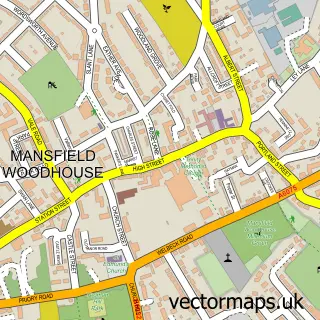
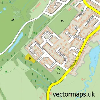
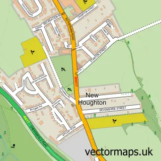
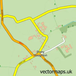
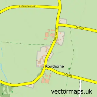
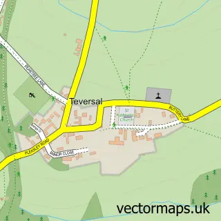
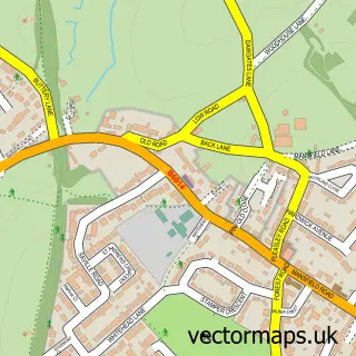
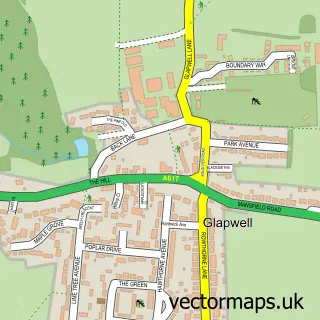
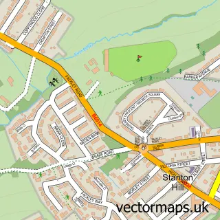
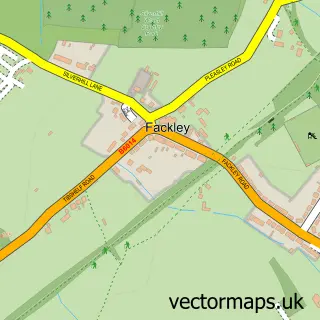
Nearby street map samples around Pleasley Hill

More street maps in Nottinghamshire
750 metre map area coverage
Boundary, postcode and point of interest information for the 750m x 750m rectangle centred on this sample map.
Boundaries containing map centre
Constituency: Ashfield Co Const
County: Nottinghamshire County
District: Mansfield District
Icb: NHS Nottingham and Nottinghamshire ICB
Police Force: nottinghamshire
Postcode District: NG19
Postcode Sector: NG19 7
Ward: Pleasley Ward
Nearby boundaries intersecting sample
Constituency: Bolsover Co Const
County: Derbyshire County
District: Bolsover District
Icb: NHS Derby and Derbyshire ICB
Parish: Pleasley CP
Police Force: derbyshire
Ward: Ault Hucknall Ward
Postcode coverage
POI category counts
Beauty Salon: 2
Community Services Non Profits: 2
Pub: 2
Stadium Arena: 2
Arts And Crafts: 1
Atms: 1
Auto Detailing: 1
Auto Electrical Repair: 1
Automotive Parts And Accessories: 1
Automotive Repair: 1
Sample points of interest
- Be Creative Global Sourcing
- PayPoint
- Rinse & Shine
- S Reddish & Son
- PA Products LTD
- R & M Motors
- The Dogs Bikes
- Beauty Beneath The Needle
- Lynn Lynam hairdressing
- The Wedding HQ
- EJM Joinery
- Roots coffee lounge
Create a larger editable map of Pleasley Hill
This sample shows only a 750 metre area. To create a larger map of Pleasley Hill, use our map builder to choose your own coverage area, add titles and download editable SVG, PDF and PNG files.
Create a custom map of Pleasley Hill