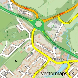
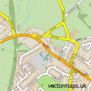
This Upper Pleasley street map is a detailed vector street map covering a 750m x 750m area. Select a larger area to create and download your own vector street map of Upper Pleasley.
The 750-metre map sample for Upper Pleasley covers 310 mapped buildings and approximately 12.8 km of road detail, of which 21 named roads are named. The immediate area includes 1 GP surgery within 2 miles and 1 MOT station, with 4 within 2 miles. The wider area around Upper Pleasley features 3 tourism points of interest. To create a larger or custom map of Upper Pleasley, the map builder lets you define your own coverage area and download editable SVG, PDF and PNG files.
Create a larger editable map of Upper Pleasley
Choose any area you need and generate a high-quality vector map instantly. Perfect for print, planning, design, business and personal use.

This Upper Pleasley street map in Derbyshire is available as downloadable SVG, PDF and PNG map files, or as a printed map for planning, business, display, education, local information and design work. You can also create a larger custom map area using the map selector.
What this Upper Pleasley map sample shows
Upper Pleasley lies within Pleasley Cp parish, part of Ault Hucknall ward in the Bolsover District local authority area. The postcode geography for this area includes the NG postcode area, the NG19 postcode district and the NG19 7 postcode sector. Residents fall under the Nhs Derby And Derbyshire Integrated Care Board for NHS services.
Local features near Upper Pleasley
Within 2 milesAmenities and services in and around Upper Pleasley.
Administrative and postcode information for Upper Pleasley
The local authority covering Upper Pleasley is Bolsover District, within the county of Derbyshire. The settlement lies within Ault Hucknall ward and Pleasley Cp civil parish. The NG19 postcode district and NG19 7 postcode sector serve the immediate area. NHS provision in the area is delivered through Sherwood Forest Hospitals Nhs Foundation Trust.
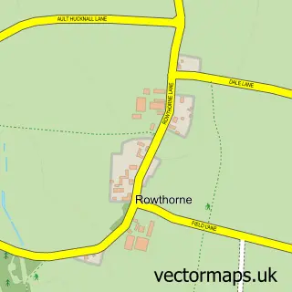
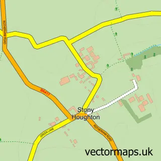
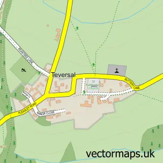
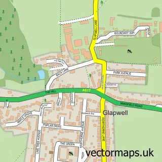
Nearby street map samples around Upper Pleasley
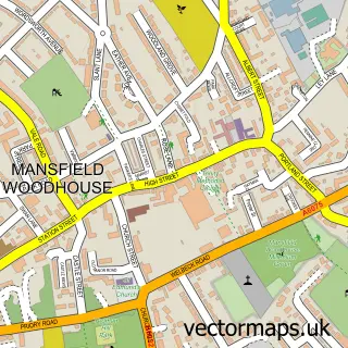

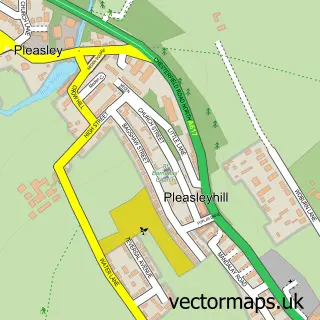
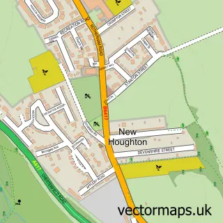
More street maps in Derbyshire
750 metre map area coverage
Boundary, postcode and point of interest information for the 750m x 750m rectangle centred on this sample map.
Boundaries containing map centre
Constituency: Bolsover Co Const
County: Derbyshire County
District: Bolsover District
Icb: NHS Derby and Derbyshire ICB
Parish: Pleasley CP
Police Force: derbyshire
Postcode District: NG19
Postcode Sector: NG19 7
Ward: Ault Hucknall Ward
Nearby boundaries intersecting sample
Constituency: Ashfield Co Const
County: Nottinghamshire County
District: Mansfield District
Icb: NHS Nottingham and Nottinghamshire ICB
Police Force: nottinghamshire
Ward: Pleasley Ward
Postcode coverage
POI category counts
Auto Detailing: 1
Building Contractor: 1
Charity Organization: 1
Contractor: 1
Door Sales Service: 1
Grocery Store: 1
Hiking Trail: 1
History Museum: 1
Home Cleaning: 1
Information Technology Company: 1
Sample points of interest
- Attention 2 Detail
- PJD Cleaning Services
- Leukaemia Research Fund
- Barratt & Sons Property Services
- Bespoke Door Installations
- Farmfoods
- Archaeological Way - Pleasley Pit Start
- Pleasley Pit Coal Mining Museum
- Keep It Clean
- Rock Salt Solutions Ltd
- Pleasley Colliery
- Pleasley Pit Country Park and Local Nature Reserve
Create a larger editable map of Upper Pleasley
This sample shows only a 750 metre area. To create a larger map of Upper Pleasley, use our map builder to choose your own coverage area, add titles and download editable SVG, PDF and PNG files.
Create a custom map of Upper Pleasley