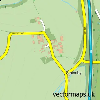
This Glapwell street map is a detailed vector street map covering a 750m x 750m area. Select a larger area to create and download your own vector street map of Glapwell.
The 750-metre map sample for Glapwell covers 339 mapped buildings and approximately 15.8 km of road detail, of which 20 named roads are named. The immediate area includes 1 GP surgery within 2 miles, 2 pubs and 3 MOT stations within 2 miles. The wider area around Glapwell features 3 food and drink venues. To create a larger or custom map of Glapwell, the map builder lets you define your own coverage area and download editable SVG, PDF and PNG files.
Create a larger editable map of Glapwell
Choose any area you need and generate a high-quality vector map instantly. Perfect for print, planning, design, business and personal use.

This Glapwell street map in Derbyshire is available as downloadable SVG, PDF and PNG map files, or as a printed map for planning, business, display, education, local information and design work. You can also create a larger custom map area using the map selector.
What this Glapwell map sample shows
Glapwell lies within Glapwell Cp parish, part of Ault Hucknall ward in the Bolsover District local authority area. The postcode geography for this area includes the S postcode area, the S44 postcode district and the S44 5 postcode sector. Residents fall under the Nhs Derby And Derbyshire Integrated Care Board for NHS services.
Local features near Glapwell
Within 2 milesAmenities and services in and around Glapwell.
Administrative and postcode information for Glapwell
Glapwell lies within Glapwell Cp parish, part of Ault Hucknall ward in the Bolsover District local authority area. The postcode geography for this area includes the S postcode area, the S44 postcode district and the S44 5 postcode sector. Residents fall under the Nhs Derby And Derbyshire Integrated Care Board for NHS services.
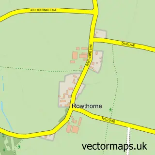
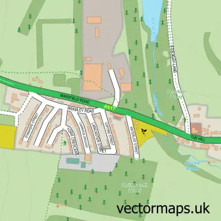
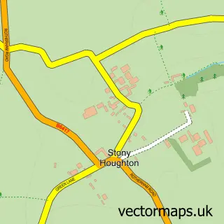
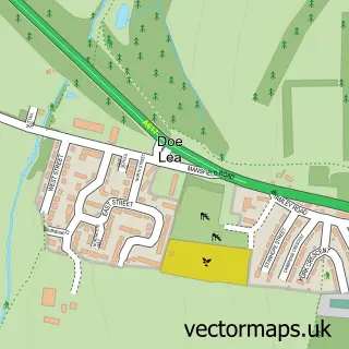
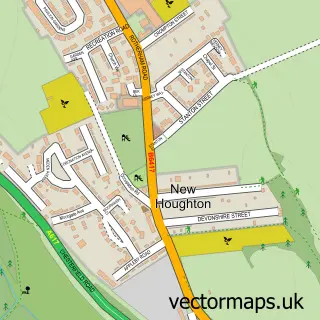
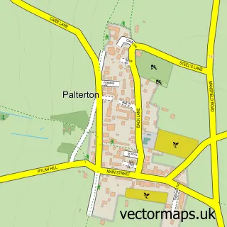
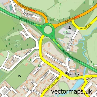
Nearby street map samples around Glapwell

More street maps in Derbyshire
750 metre map area coverage
Boundary, postcode and point of interest information for the 750m x 750m rectangle centred on this sample map.
Boundaries containing map centre
Constituency: Bolsover Co Const
County: Derbyshire County
District: Bolsover District
Icb: NHS Derby and Derbyshire ICB
Parish: Glapwell CP
Police Force: derbyshire
Postcode District: S44
Postcode Sector: S44 5
Ward: Ault Hucknall Ward
Nearby boundaries intersecting sample
No additional intersecting boundaries found.
Postcode coverage
POI category counts
Nursery And Gardening: 2
Post Office: 2
Professional Services: 2
Pub: 2
Sports Club And League: 2
Active Life: 1
Agricultural Service: 1
Beauty Salon: 1
Community Center: 1
Convenience Store: 1
Sample points of interest
- Mansfield Bowling Club
- Derbyshire Landskills
- Hawthorn Hair & Beauty
- Glapwell Centre
- Kwick-Stop
- The Surgery The Green
- Good Dog Training
- Evri ParcelShop
- Glapwell Centre
- Paul Caton Gas And Oil Services
- Glapwell Garden Centre
- Glapwell Nurseries
Create a larger editable map of Glapwell
This sample shows only a 750 metre area. To create a larger map of Glapwell, use our map builder to choose your own coverage area, add titles and download editable SVG, PDF and PNG files.
Create a custom map of Glapwell