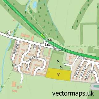
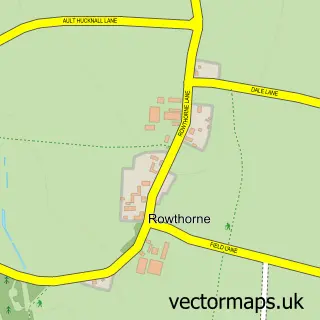
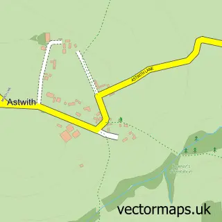
This Bramley Vale street map is a detailed vector street map covering a 750m x 750m area. Select a larger area to create and download your own vector street map of Bramley Vale.
The 750-metre map sample for Bramley Vale covers 106 mapped buildings and approximately 10.4 km of road detail, of which 10 named roads are named. The immediate area includes 1 school and 1 MOT station within 2 miles. The wider area around Bramley Vale features 2 tourism points of interest and 1 food and drink venue. To create a larger or custom map of Bramley Vale, the map builder lets you define your own coverage area and download editable SVG, PDF and PNG files.
Create a larger editable map of Bramley Vale
Choose any area you need and generate a high-quality vector map instantly. Perfect for print, planning, design, business and personal use.

This Bramley Vale street map in Derbyshire is available as downloadable SVG, PDF and PNG map files, or as a printed map for planning, business, display, education, local information and design work. You can also create a larger custom map area using the map selector.
What this Bramley Vale map sample shows
Bramley Vale lies within Ault Hucknall Cp parish, part of Ault Hucknall ward in the Bolsover District local authority area. The postcode geography for this area includes the S postcode area, the S44 postcode district and the S44 5 postcode sector. Residents fall under the Nhs Derby And Derbyshire Integrated Care Board for NHS services.
Local features near Bramley Vale
Within 2 milesAmenities and services in and around Bramley Vale.
Administrative and postcode information for Bramley Vale
Bramley Vale lies within Ault Hucknall Cp parish, part of Ault Hucknall ward in the Bolsover District local authority area. The postcode geography for this area includes the S postcode area, the S44 postcode district and the S44 5 postcode sector. Residents fall under the Nhs Derby And Derbyshire Integrated Care Board for NHS services.
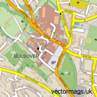
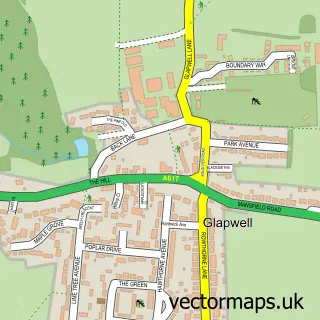
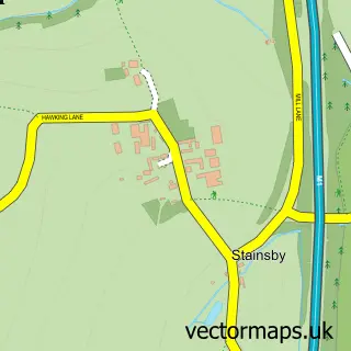
Nearby street map samples around Bramley Vale

More street maps in Derbyshire
750 metre map area coverage
Boundary, postcode and point of interest information for the 750m x 750m rectangle centred on this sample map.
Boundaries containing map centre
Constituency: Bolsover Co Const
County: Derbyshire County
District: Bolsover District
Icb: NHS Derby and Derbyshire ICB
Parish: Ault Hucknall CP
Police Force: derbyshire
Postcode District: S44
Postcode Sector: S44 5
Ward: Ault Hucknall Ward
Nearby boundaries intersecting sample
Parish: Glapwell CP
Postcode coverage
POI category counts
Convenience Store: 2
Elementary School: 2
Automotive Services And Repair: 1
Building Supply Store: 1
Coffee Shop: 1
Commercial Industrial: 1
Contractor: 1
Irish Pub: 1
Korean Grocery Store: 1
Landmark And Historical Building: 1
Sample points of interest
- Instavolt Charging Station
- Sunbelt Rentals Trakway
- Starbucks
- Eve Trakway
- Atm Traffic Solutions
- Premier Vale Stores
- Vale Stores
- Bramley Vale Primary School
- Bramley Vale Primary School
- The Plug & Feathers
- Post Office-Doe Lea
- Bramley Vale
Create a larger editable map of Bramley Vale
This sample shows only a 750 metre area. To create a larger map of Bramley Vale, use our map builder to choose your own coverage area, add titles and download editable SVG, PDF and PNG files.
Create a custom map of Bramley Vale