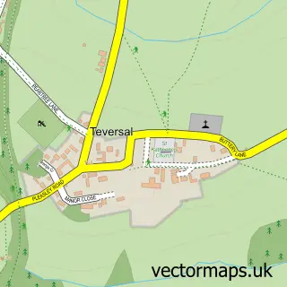
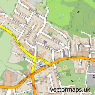
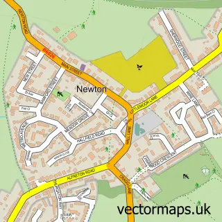
This Fackley street map is a detailed vector street map covering a 750m x 750m area. Select a larger area to create and download your own vector street map of Fackley.
The 750-metre map sample for Fackley covers 130 mapped buildings and approximately 9.9 km of road detail, of which 6 named roads are named. The immediate area includes 4 GP surgeries within 2 miles, 1 pub and 10 MOT stations within 2 miles. The wider area around Fackley features 1 food and drink venue, 1 hotel and 1 campsite within 2 miles. To create a larger or custom map of Fackley, the map builder lets you define your own coverage area and download editable SVG, PDF and PNG files.
Create a larger editable map of Fackley
Choose any area you need and generate a high-quality vector map instantly. Perfect for print, planning, design, business and personal use.

This Fackley street map in Nottinghamshire is available as downloadable SVG, PDF and PNG map files, or as a printed map for planning, business, display, education, local information and design work. You can also create a larger custom map area using the map selector.
What this Fackley map sample shows
Fackley lies within Nottinghamshire County parish, part of Stanton Hill & Teversal ward in the Ashfield District local authority area. The postcode geography for this area includes the NG postcode area, the NG17 postcode district and the NG17 3 postcode sector. Residents fall under the Nhs Nottingham And Nottinghamshire Integrated Care Board for NHS services.
Local features near Fackley
Within 2 milesAmenities and services in and around Fackley.
Administrative and postcode information for Fackley
The local authority covering Fackley is Ashfield District, within the county of Nottinghamshire. The settlement lies within Stanton Hill & Teversal ward and Nottinghamshire County civil parish. The NG17 postcode district and NG17 3 postcode sector serve the immediate area. NHS provision in the area is delivered through Sherwood Forest Hospitals Nhs Foundation Trust.
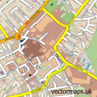
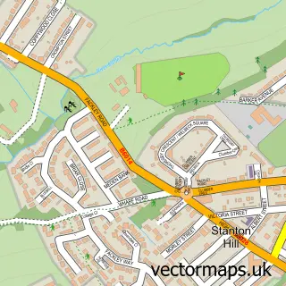
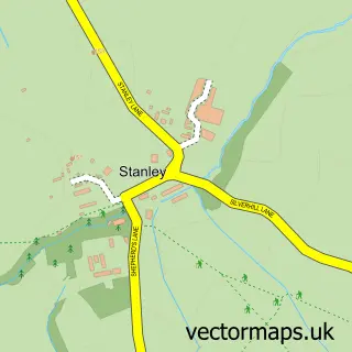
Nearby street map samples around Fackley

More street maps in Nottinghamshire
750 metre map area coverage
Boundary, postcode and point of interest information for the 750m x 750m rectangle centred on this sample map.
Boundaries containing map centre
Constituency: Ashfield Co Const
County: Nottinghamshire County
District: Ashfield District
Icb: NHS Nottingham and Nottinghamshire ICB
Police Force: nottinghamshire
Postcode District: NG17
Postcode Sector: NG17 3
Ward: Stanton Hill & Teversal Ward
Nearby boundaries intersecting sample
No additional intersecting boundaries found.
Postcode coverage
POI category counts
Community Center: 1
Farm: 1
Flowers And Gifts Shop: 1
Gift Shop: 1
Gym: 1
Home Cleaning: 1
Hvac Services: 1
Pub: 1
Rv Park: 1
Skin Care: 1
Sample points of interest
- Teversal Village Hall
- Molyneux Farm
- The Flower Hut at Teversal
- China Basket
- Shaw Lane A F C
- Lydia's Cleaning Services
- Stephen Shaw Heating & Plumbing
- The Carnarvon
- Silverhill Woodland Retreats
- The Skin Studio - by Amy
- Teversall Manor railway station
Create a larger editable map of Fackley
This sample shows only a 750 metre area. To create a larger map of Fackley, use our map builder to choose your own coverage area, add titles and download editable SVG, PDF and PNG files.
Create a custom map of Fackley