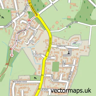
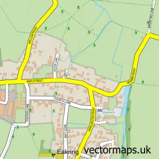
This Edingley street map is a detailed vector street map covering a 750m x 750m area. Select a larger area to create and download your own vector street map of Edingley.
The 750-metre map sample for Edingley covers 112 mapped buildings and approximately 5.5 km of road detail, of which 5 named roads are named. The immediate area includes 2 pubs and 1 MOT station within 2 miles. The wider area around Edingley features 1 tourism point of interest, 4 food and drink venues and 1 campsite within 2 miles. To create a larger or custom map of Edingley, the map builder lets you define your own coverage area and download editable SVG, PDF and PNG files.
Create a larger editable map of Edingley
Choose any area you need and generate a high-quality vector map instantly. Perfect for print, planning, design, business and personal use.

This Edingley street map in Nottinghamshire is available as downloadable SVG, PDF and PNG map files, or as a printed map for planning, business, display, education, local information and design work. You can also create a larger custom map area using the map selector.
What this Edingley map sample shows
Edingley lies within Edingley Cp parish, part of Southwell ward in the Newark And Sherwood District local authority area. The postcode geography for this area includes the NG postcode area, the NG22 postcode district and the NG22 8 postcode sector. Residents fall under the Nhs Nottingham And Nottinghamshire Integrated Care Board for NHS services.
Local features near Edingley
Within 2 milesAmenities and services in and around Edingley.
Administrative and postcode information for Edingley
The local authority covering Edingley is Newark And Sherwood District, within the county of Nottinghamshire. The settlement lies within Southwell ward and Edingley Cp civil parish. The NG22 postcode district and NG22 8 postcode sector serve the immediate area. NHS provision in the area is delivered through Sherwood Forest Hospitals Nhs Foundation Trust.
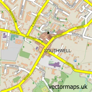
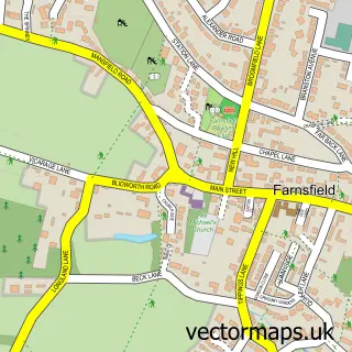
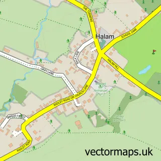
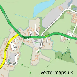
Nearby street map samples around Edingley

More street maps in Nottinghamshire
750 metre map area coverage
Boundary, postcode and point of interest information for the 750m x 750m rectangle centred on this sample map.
Boundaries containing map centre
Constituency: Newark Co Const
County: Nottinghamshire County
District: Newark and Sherwood District
Icb: NHS Nottingham and Nottinghamshire ICB
Parish: Edingley CP
Police Force: nottinghamshire
Postcode District: NG22
Postcode Sector: NG22 8
Ward: Southwell Ward
Nearby boundaries intersecting sample
No additional intersecting boundaries found.
Postcode coverage
POI category counts
Pet Store: 3
Pub: 2
Automotive: 1
Building Supply Store: 1
Cafe: 1
Church Cathedral: 1
Coffee Shop: 1
Farmers Market: 1
Home Service: 1
Landmark And Historical Building: 1
Sample points of interest
- Farnsfield Garage
- Village Electrical
- Thecarcrowd
- St Giles Church
- The Old Schoolroom Edingley
- Farm Shop
- Green Tots Childcare
- Edingley
- Forest Feeds
- Forrest Feeds
- Paddock Pets
- Old Reindeer
Create a larger editable map of Edingley
This sample shows only a 750 metre area. To create a larger map of Edingley, use our map builder to choose your own coverage area, add titles and download editable SVG, PDF and PNG files.
Create a custom map of Edingley