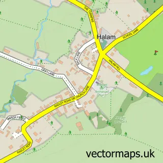
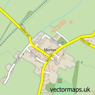
This Southwell street map is a detailed vector street map covering a 750m x 750m area. Select a larger area to create and download your own vector street map of Southwell.
The 750-metre map sample for Southwell covers 396 mapped buildings and approximately 21.9 km of road detail, of which 35 named roads are named. The immediate area includes 2 schools, 1 GP surgery, 6 pubs and 1 MOT station, with 2 within 2 miles. The wider area around Southwell features 1 tourism point of interest, 14 food and drink venues and 3 hotels. To create a larger or custom map of Southwell, the map builder lets you define your own coverage area and download editable SVG, PDF and PNG files.
Create a larger editable map of Southwell
Choose any area you need and generate a high-quality vector map instantly. Perfect for print, planning, design, business and personal use.

This Southwell street map in Nottinghamshire is available as downloadable SVG, PDF and PNG map files, or as a printed map for planning, business, display, education, local information and design work. You can also create a larger custom map area using the map selector.
What this Southwell map sample shows
Southwell lies within Southwell Cp parish, part of Southwell ward in the Newark And Sherwood District local authority area. The postcode geography for this area includes the NG postcode area, the NG25 postcode district and the NG25 0 postcode sector. Residents fall under the Nhs Nottingham And Nottinghamshire Integrated Care Board for NHS services.
Local features near Southwell
Within 2 milesAmenities and services in and around Southwell.
Administrative and postcode information for Southwell
The local authority covering Southwell is Newark And Sherwood District, within the county of Nottinghamshire. The settlement lies within Southwell ward and Southwell Cp civil parish. The NG25 postcode district and NG25 0 postcode sector serve the immediate area. NHS provision in the area is delivered through Sherwood Forest Hospitals Nhs Foundation Trust.
Nearby street map samples around Southwell


More street maps in Nottinghamshire
750 metre map area coverage
Boundary, postcode and point of interest information for the 750m x 750m rectangle centred on this sample map.
Boundaries containing map centre
Constituency: Newark Co Const
County: Nottinghamshire County
District: Newark and Sherwood District
Icb: NHS Nottingham and Nottinghamshire ICB
Parish: Southwell CP
Police Force: nottinghamshire
Postcode District: NG25
Postcode Sector: NG25 0
Ward: Southwell Ward
Nearby boundaries intersecting sample
No additional intersecting boundaries found.
Postcode coverage
POI category counts
Beauty Salon: 12
Pub: 6
Barber: 5
Clothing Store: 5
Flowers And Gifts Shop: 5
Professional Services: 5
Bakery: 4
Cafe: 4
Doctor: 4
Hair Salon: 4
Sample points of interest
- Ap Accounting Ltd.
- Southwell Acupuncture Clinic
- Clear Comms
- Body & Soul
- Diocese of Southwell and Nottingham
- Southwell Minster
- The Diocese of Southwell And Nottingham
- Hansons Southwell Consignment Office
- Temple Of Dog Grooming
- Martin Hubbard & Associates Ltd.
- Hall Fine Art
- Santander
Create a larger editable map of Southwell
This sample shows only a 750 metre area. To create a larger map of Southwell, use our map builder to choose your own coverage area, add titles and download editable SVG, PDF and PNG files.
Create a custom map of Southwell