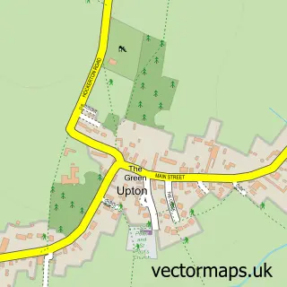
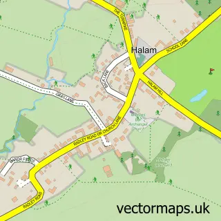
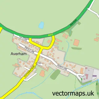
This Hockerton street map is a detailed vector street map covering a 750m x 750m area. Select a larger area to create and download your own vector street map of Hockerton.
The 750-metre map sample for Hockerton covers 106 mapped buildings and approximately 16.7 km of road detail, of which 7 named roads are named. The immediate area includes 1 GP surgery within 2 miles, 1 pub and 2 MOT stations within 2 miles. The wider area around Hockerton features 1 food and drink venue. To create a larger or custom map of Hockerton, the map builder lets you define your own coverage area and download editable SVG, PDF and PNG files.
Create a larger editable map of Hockerton
Choose any area you need and generate a high-quality vector map instantly. Perfect for print, planning, design, business and personal use.

This Hockerton street map in Nottinghamshire is available as downloadable SVG, PDF and PNG map files, or as a printed map for planning, business, display, education, local information and design work. You can also create a larger custom map area using the map selector.
What this Hockerton map sample shows
Hockerton lies within Hockerton Cp parish, part of Southwell ward in the Newark And Sherwood District local authority area. The postcode geography for this area includes the NG postcode area, the NG25 postcode district and the NG25 0 postcode sector. Residents fall under the Nhs Nottingham And Nottinghamshire Integrated Care Board for NHS services.
Local features near Hockerton
Within 2 milesAmenities and services in and around Hockerton.
Administrative and postcode information for Hockerton
Hockerton lies within Hockerton Cp parish, part of Southwell ward in the Newark And Sherwood District local authority area. The postcode geography for this area includes the NG postcode area, the NG25 postcode district and the NG25 0 postcode sector. Residents fall under the Nhs Nottingham And Nottinghamshire Integrated Care Board for NHS services.
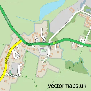
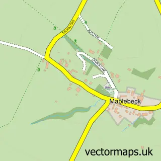
Nearby street map samples around Hockerton

More street maps in Nottinghamshire
750 metre map area coverage
Boundary, postcode and point of interest information for the 750m x 750m rectangle centred on this sample map.
Boundaries containing map centre
Constituency: Newark Co Const
County: Nottinghamshire County
District: Newark and Sherwood District
Icb: NHS Nottingham and Nottinghamshire ICB
Parish: Hockerton CP
Police Force: nottinghamshire
Postcode District: NG25
Postcode Sector: NG25 0
Ward: Southwell Ward
Nearby boundaries intersecting sample
No additional intersecting boundaries found.
Postcode coverage
POI category counts
Church Cathedral: 1
Community Services Non Profits: 1
Farm: 1
Firework Retailer: 1
Ice Cream Shop: 1
Interior Design: 1
Pet Groomer: 1
Pet Services: 1
Prenatal Perinatal Care: 1
Pub: 1
Sample points of interest
- St Nicholas' Church
- Hockerton Housing Project
- Solstice Alpacas
- Brothers Fireworks - Hockerton
- Newfield Dairy
- Christy Interiors
- Hey There Delilah
- Canimotion - Veterinary Physio and Hydrotherapy Centre
- The Baby Barn Newark & Southwell
- The Spread Eagle
- Beauty by Timea
Create a larger editable map of Hockerton
This sample shows only a 750 metre area. To create a larger map of Hockerton, use our map builder to choose your own coverage area, add titles and download editable SVG, PDF and PNG files.
Create a custom map of Hockerton