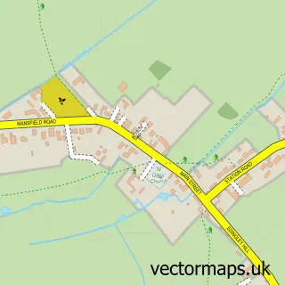
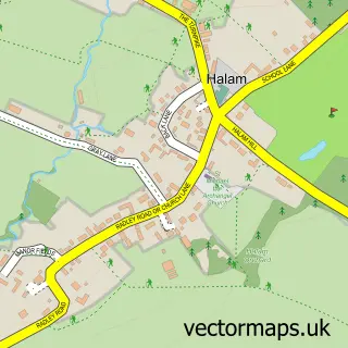
This Bilsthorpe street map is a detailed vector street map covering a 750m x 750m area. Select a larger area to create and download your own vector street map of Bilsthorpe.
The 750-metre map sample for Bilsthorpe covers 381 mapped buildings and approximately 16.2 km of road detail, of which 29 named roads are named. The immediate area includes 1 GP surgery within 2 miles, 3 pubs and 3 MOT stations within 2 miles. The wider area around Bilsthorpe features 3 food and drink venues. To create a larger or custom map of Bilsthorpe, the map builder lets you define your own coverage area and download editable SVG, PDF and PNG files.
Create a larger editable map of Bilsthorpe
Choose any area you need and generate a high-quality vector map instantly. Perfect for print, planning, design, business and personal use.

This Bilsthorpe street map in Nottinghamshire is available as downloadable SVG, PDF and PNG map files, or as a printed map for planning, business, display, education, local information and design work. You can also create a larger custom map area using the map selector.
What this Bilsthorpe map sample shows
Bilsthorpe lies within Bilsthorpe Cp parish, part of Bilsthorpe ward in the Newark And Sherwood District local authority area. The postcode geography for this area includes the NG postcode area, the NG22 postcode district and the NG22 8 postcode sector. Residents fall under the Nhs Nottingham And Nottinghamshire Integrated Care Board for NHS services.
Local features near Bilsthorpe
Within 2 milesAmenities and services in and around Bilsthorpe.
Administrative and postcode information for Bilsthorpe
The local authority covering Bilsthorpe is Newark And Sherwood District, within the county of Nottinghamshire. The settlement lies within Bilsthorpe ward and Bilsthorpe Cp civil parish. The NG22 postcode district and NG22 8 postcode sector serve the immediate area. NHS provision in the area is delivered through Sherwood Forest Hospitals Nhs Foundation Trust.
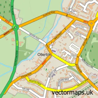
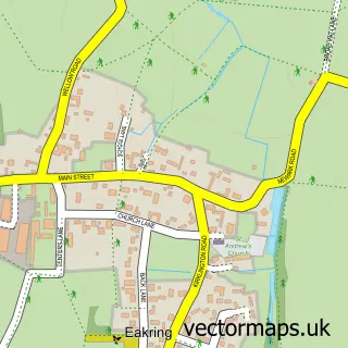
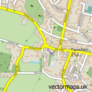
Nearby street map samples around Bilsthorpe

More street maps in Nottinghamshire
750 metre map area coverage
Boundary, postcode and point of interest information for the 750m x 750m rectangle centred on this sample map.
Boundaries containing map centre
Constituency: Sherwood Forest Co Const
County: Nottinghamshire County
District: Newark and Sherwood District
Icb: NHS Nottingham and Nottinghamshire ICB
Parish: Bilsthorpe CP
Police Force: nottinghamshire
Postcode District: NG22
Postcode Sector: NG22 8
Ward: Bilsthorpe Ward
Nearby boundaries intersecting sample
Parish: Eakring CP
Ward: Rainworth North & Rufford Ward
Postcode coverage
POI category counts
Hvac Supplier: 5
Automotive Repair: 3
Pet Store: 3
Pub: 3
Building Supply Store: 2
Accommodation: 1
Antenna Service: 1
Auction House: 1
Auto Detailing: 1
Automation Services: 1
Sample points of interest
- South Croxton, Queniborough
- Central Installations
- SYNETIQ
- Custom Creations Detailing
- Protek Specialists Ltd
- Easy Move
- T W Autos
- The Vehicle And Sunroof Repair Specialist
- Creations Hair and Beauty
- Reckless Dweeb Brew Co.
- Nottingham Gas & Electrical Services
- Protek Specialists
Create a larger editable map of Bilsthorpe
This sample shows only a 750 metre area. To create a larger map of Bilsthorpe, use our map builder to choose your own coverage area, add titles and download editable SVG, PDF and PNG files.
Create a custom map of Bilsthorpe