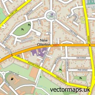
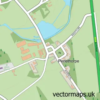
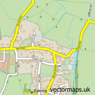
This Ollerton street map is a detailed vector street map covering a 750m x 750m area. Select a larger area to create and download your own vector street map of Ollerton.
The 750-metre map sample for Ollerton covers 314 mapped buildings and approximately 33.1 km of road detail, of which 30 named roads are named. The immediate area includes 2 GP surgeries within 2 miles, 3 pubs and 4 MOT stations within 2 miles. The wider area around Ollerton features 8 food and drink venues and 1 hotel. To create a larger or custom map of Ollerton, the map builder lets you define your own coverage area and download editable SVG, PDF and PNG files.
Create a larger editable map of Ollerton
Choose any area you need and generate a high-quality vector map instantly. Perfect for print, planning, design, business and personal use.

This Ollerton street map in Nottinghamshire is available as downloadable SVG, PDF and PNG map files, or as a printed map for planning, business, display, education, local information and design work. You can also create a larger custom map area using the map selector.
What this Ollerton map sample shows
Ollerton lies within Ollerton And Boughton Cp parish, part of Ollerton ward in the Newark And Sherwood District local authority area. The postcode geography for this area includes the NG postcode area, the NG22 postcode district and the NG22 9 postcode sector. Residents fall under the Nhs Nottingham And Nottinghamshire Integrated Care Board for NHS services.
Local features near Ollerton
Within 2 milesAmenities and services in and around Ollerton.
Administrative and postcode information for Ollerton
The local authority covering Ollerton is Newark And Sherwood District, within the county of Nottinghamshire. The settlement lies within Ollerton ward and Ollerton And Boughton Cp civil parish. The NG22 postcode district and NG22 9 postcode sector serve the immediate area. NHS provision in the area is delivered through Sherwood Forest Hospitals Nhs Foundation Trust.
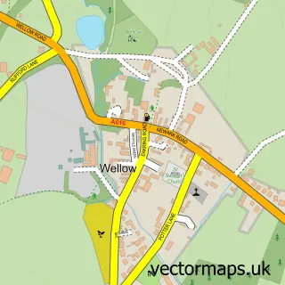
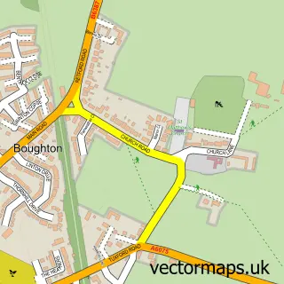
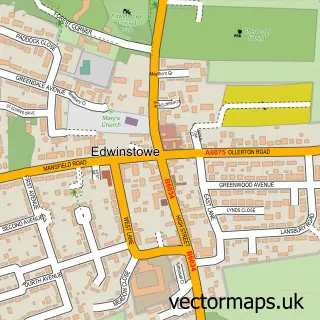
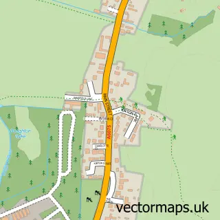
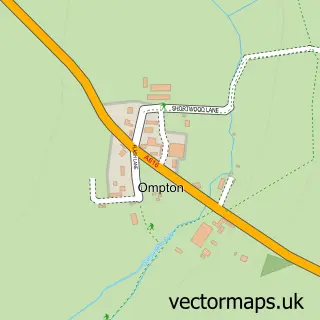
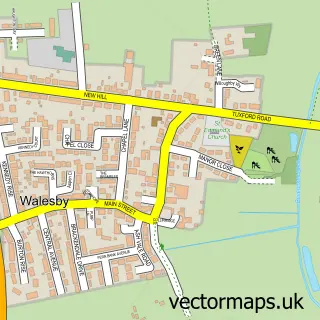
Nearby street map samples around Ollerton

More street maps in Nottinghamshire
750 metre map area coverage
Boundary, postcode and point of interest information for the 750m x 750m rectangle centred on this sample map.
Boundaries containing map centre
Constituency: Sherwood Forest Co Const
County: Nottinghamshire County
District: Newark and Sherwood District
Icb: NHS Nottingham and Nottinghamshire ICB
Parish: Ollerton and Boughton CP
Police Force: nottinghamshire
Postcode District: NG22
Postcode Sector: NG22 9
Ward: Ollerton Ward
Nearby boundaries intersecting sample
Parish: Edwinstowe CP
Ward: Edwinstowe & Clipstone Ward
Postcode coverage
POI category counts
Gas Station: 7
Coffee Shop: 5
Fast Food Restaurant: 3
Package Locker: 3
Pub: 3
Self Catering Accommodation: 3
Atms: 2
Building Supply Store: 2
Contractor: 2
Convenience Store: 2
Sample points of interest
- South Forest , Edwinstowe
- Hamlyn Lodge
- The Old Vicarage
- MFG - Ollerton (MRH)
- Shell Ollerton (756), Ollerton
- InstaVolt Charging Station
- Aura Beauty Salon
- All Things Bride and Beautiful
- CDS Commercial & Domestic Services
- P & J Fencing Pikemaster Ltd.
- T S Barrows & Son
- Paragon Cladding Services Ltd.
Create a larger editable map of Ollerton
This sample shows only a 750 metre area. To create a larger map of Ollerton, use our map builder to choose your own coverage area, add titles and download editable SVG, PDF and PNG files.
Create a custom map of Ollerton