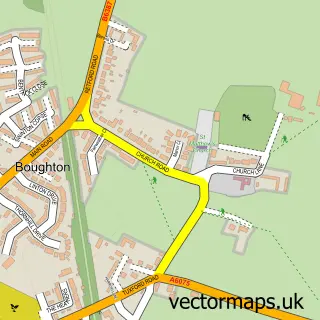
This Perlethorpe street map is a detailed vector street map covering a 750m x 750m area. Select a larger area to create and download your own vector street map of Perlethorpe.
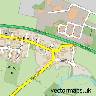
The 750-metre map sample for Perlethorpe covers 50 mapped buildings and approximately 12.9 km of road detail, of which 3 named roads are named. The immediate area includes 1 MOT station within 2 miles. The wider area around Perlethorpe features 1 tourism point of interest. To create a larger or custom map of Perlethorpe, the map builder lets you define your own coverage area and download editable SVG, PDF and PNG files.
Create a larger editable map of Perlethorpe
Choose any area you need and generate a high-quality vector map instantly. Perfect for print, planning, design, business and personal use.

This Perlethorpe street map in Nottinghamshire is available as downloadable SVG, PDF and PNG map files, or as a printed map for planning, business, display, education, local information and design work. You can also create a larger custom map area using the map selector.
What this Perlethorpe map sample shows
Perlethorpe lies within Perlethorpe Cum Budby Cp parish, part of Ollerton ward in the Newark And Sherwood District local authority area. The postcode geography for this area includes the NG postcode area, the NG22 postcode district and the NG22 9 postcode sector. Residents fall under the Nhs Nottingham And Nottinghamshire Integrated Care Board for NHS services.
Local features near Perlethorpe
Within 2 milesAmenities and services in and around Perlethorpe.
Administrative and postcode information for Perlethorpe
Perlethorpe lies within Perlethorpe Cum Budby Cp parish, part of Ollerton ward in the Newark And Sherwood District local authority area. The postcode geography for this area includes the NG postcode area, the NG22 postcode district and the NG22 9 postcode sector. Residents fall under the Nhs Nottingham And Nottinghamshire Integrated Care Board for NHS services.
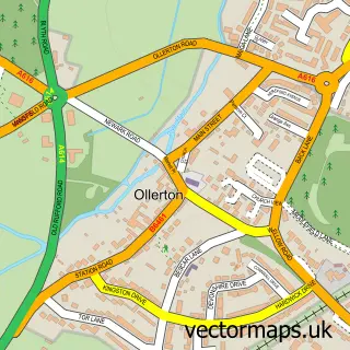
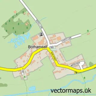
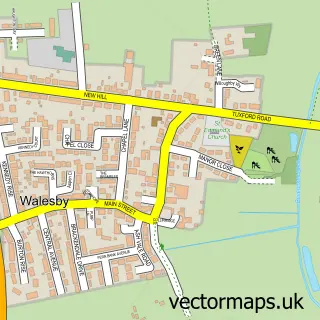
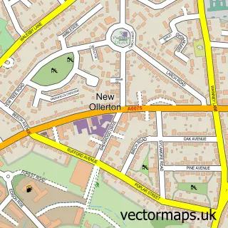
Nearby street map samples around Perlethorpe

More street maps in Nottinghamshire
750 metre map area coverage
Boundary, postcode and point of interest information for the 750m x 750m rectangle centred on this sample map.
Boundaries containing map centre
Constituency: Sherwood Forest Co Const
County: Nottinghamshire County
District: Newark and Sherwood District
Icb: NHS Nottingham and Nottinghamshire ICB
Parish: Perlethorpe cum Budby CP
Police Force: nottinghamshire
Postcode District: NG22
Postcode Sector: NG22 9
Ward: Ollerton Ward
Nearby boundaries intersecting sample
No additional intersecting boundaries found.
Postcode coverage
POI category counts
Accommodation: 1
Anglican Church: 1
Bike Repair Maintenance: 1
Education: 1
Farm: 1
Landmark And Historical Building: 1
Social Service Organizations: 1
Tire Dealer And Repair: 1
Sample points of interest
- worktopdrainers.com
- Perlethorpe St John the Evangelist
- Eco Voltz Electric Bikes
- Perlethorpe Environmental Education Centre
- Thoresby Farming & Thoresby Livestock
- Perlethorpe
- Pearlthorpe Social Club
- Hometyre Mobile Tyre Fitting
Create a larger editable map of Perlethorpe
This sample shows only a 750 metre area. To create a larger map of Perlethorpe, use our map builder to choose your own coverage area, add titles and download editable SVG, PDF and PNG files.
Create a custom map of Perlethorpe