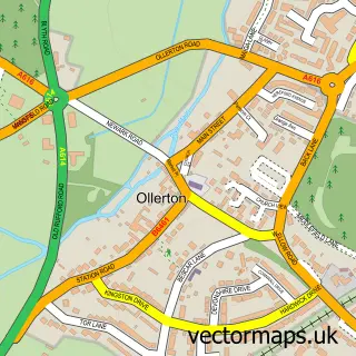
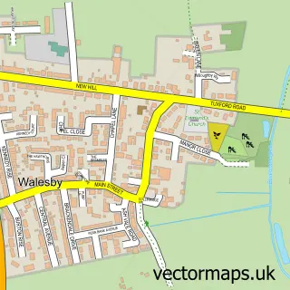
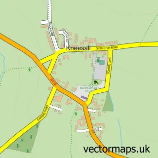
This New Ollerton street map is a detailed vector street map covering a 750m x 750m area. Select a larger area to create and download your own vector street map of New Ollerton.
The 750-metre map sample for New Ollerton covers 634 mapped buildings and approximately 26.3 km of road detail, of which 31 named roads are named. The immediate area includes 1 GP surgery and 4 MOT stations within 2 miles. The wider area around New Ollerton features 2 tourism points of interest, 2 food and drink venues and 1 hotel. To create a larger or custom map of New Ollerton, the map builder lets you define your own coverage area and download editable SVG, PDF and PNG files.
Create a larger editable map of New Ollerton
Choose any area you need and generate a high-quality vector map instantly. Perfect for print, planning, design, business and personal use.

This New Ollerton street map in Nottinghamshire is available as downloadable SVG, PDF and PNG map files, or as a printed map for planning, business, display, education, local information and design work. You can also create a larger custom map area using the map selector.
What this New Ollerton map sample shows
New Ollerton lies within Ollerton And Boughton Cp parish, part of Ollerton ward in the Newark And Sherwood District local authority area. The postcode geography for this area includes the NG postcode area, the NG22 postcode district and the NG22 9 postcode sector. Residents fall under the Nhs Nottingham And Nottinghamshire Integrated Care Board for NHS services.
Local features near New Ollerton
Within 2 milesAmenities and services in and around New Ollerton.
Administrative and postcode information for New Ollerton
The local authority covering New Ollerton is Newark And Sherwood District, within the county of Nottinghamshire. The settlement lies within Ollerton ward and Ollerton And Boughton Cp civil parish. The NG22 postcode district and NG22 9 postcode sector serve the immediate area. NHS provision in the area is delivered through Sherwood Forest Hospitals Nhs Foundation Trust.
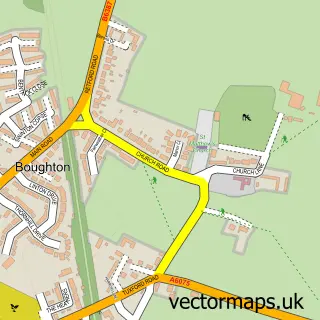
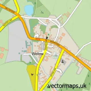
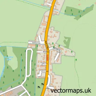
Nearby street map samples around New Ollerton

More street maps in Nottinghamshire
750 metre map area coverage
Boundary, postcode and point of interest information for the 750m x 750m rectangle centred on this sample map.
Boundaries containing map centre
Constituency: Sherwood Forest Co Const
County: Nottinghamshire County
District: Newark and Sherwood District
Icb: NHS Nottingham and Nottinghamshire ICB
Parish: Ollerton and Boughton CP
Police Force: nottinghamshire
Postcode District: NG22
Postcode Sector: NG22 9
Ward: Ollerton Ward
Nearby boundaries intersecting sample
No additional intersecting boundaries found.
Postcode coverage
POI category counts
Banks: 5
Flowers And Gifts Shop: 5
Pharmacy: 4
Tattoo And Piercing: 4
Atms: 3
Barber: 3
Beauty Salon: 3
Convenience Store: 3
Education: 3
Fast Food Restaurant: 3
Sample points of interest
- Bengal Spice
- Asda New Ollertonm
- Bargain Booze, New Ollerton
- Payzone
- Gp T5 Conversions
- Sutton Auto Factors
- Cooplands
- Lloyds Bank
- Banking Hub
- Barclays
- Community Banker New Ollerton Banking Hub
- HSBC - New Ollerton - Temporary Banking Hub - HSBC staff not available
Create a larger editable map of New Ollerton
This sample shows only a 750 metre area. To create a larger map of New Ollerton, use our map builder to choose your own coverage area, add titles and download editable SVG, PDF and PNG files.
Create a custom map of New Ollerton