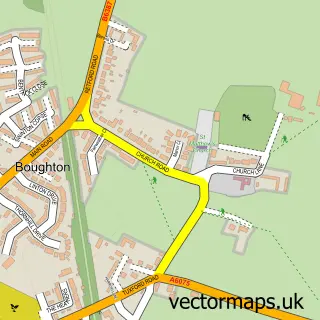
This Kneesall street map is a detailed vector street map covering a 750m x 750m area. Select a larger area to create and download your own vector street map of Kneesall.
The 750-metre map sample for Kneesall covers 102 mapped buildings and approximately 21.0 km of road detail, of which 6 named roads are named. The immediate area includes 1 school. The wider area around Kneesall features 1 tourism point of interest and 1 food and drink venue. To create a larger or custom map of Kneesall, the map builder lets you define your own coverage area and download editable SVG, PDF and PNG files.
Create a larger editable map of Kneesall
Choose any area you need and generate a high-quality vector map instantly. Perfect for print, planning, design, business and personal use.

This Kneesall street map in Nottinghamshire is available as downloadable SVG, PDF and PNG map files, or as a printed map for planning, business, display, education, local information and design work. You can also create a larger custom map area using the map selector.
What this Kneesall map sample shows
Kneesall lies within Kneesall Cp parish, part of Sutton-On-Trent ward in the Newark And Sherwood District local authority area. The postcode geography for this area includes the NG postcode area, the NG22 postcode district and the NG22 0 postcode sector. Residents fall under the Nhs Nottingham And Nottinghamshire Integrated Care Board for NHS services.
Local features near Kneesall
Within 2 milesAmenities and services in and around Kneesall.
Administrative and postcode information for Kneesall
The local authority covering Kneesall is Newark And Sherwood District, within the county of Nottinghamshire. The settlement lies within Sutton-On-Trent ward and Kneesall Cp civil parish. The NG22 postcode district and NG22 0 postcode sector serve the immediate area. NHS provision in the area is delivered through Sherwood Forest Hospitals Nhs Foundation Trust.
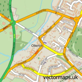
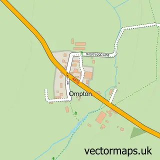
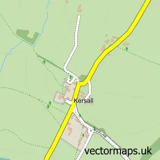
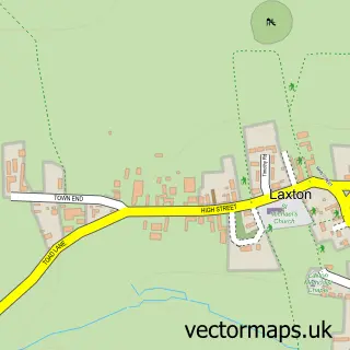
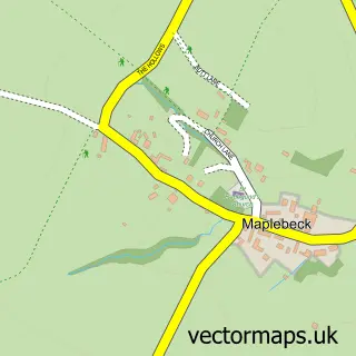
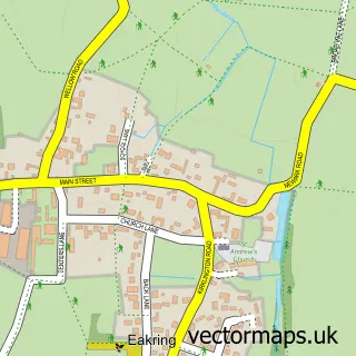
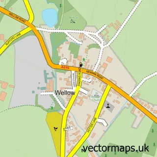
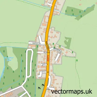
Nearby street map samples around Kneesall

More street maps in Nottinghamshire
750 metre map area coverage
Boundary, postcode and point of interest information for the 750m x 750m rectangle centred on this sample map.
Boundaries containing map centre
Constituency: Newark Co Const
County: Nottinghamshire County
District: Newark and Sherwood District
Icb: NHS Nottingham and Nottinghamshire ICB
Parish: Kneesall CP
Police Force: nottinghamshire
Postcode District: NG22
Postcode Sector: NG22 0
Ward: Sutton-on-Trent Ward
Nearby boundaries intersecting sample
No additional intersecting boundaries found.
Postcode coverage
POI category counts
Bangladeshi Restaurant: 1
Butcher Shop: 1
Cafe: 1
Church Cathedral: 1
Education: 1
Elementary School: 1
Gastropub: 1
Home Service: 1
Indian Restaurant: 1
Landmark And Historical Building: 1
Sample points of interest
- Rajdhaani
- Meatsmiths & Kneesall Pop Up Friday Farmshop
- The Hay Barn Cafe
- St Bartholomew's Church
- Kneesall C of E School
- Kneesall CofE Primary School
- The Angel Inn
- Country Kids Day Nursery
- Rajdhaani
- Cratley
- Belinda - Ollie Coach
- Dashing Dogs
Create a larger editable map of Kneesall
This sample shows only a 750 metre area. To create a larger map of Kneesall, use our map builder to choose your own coverage area, add titles and download editable SVG, PDF and PNG files.
Create a custom map of Kneesall