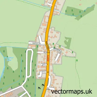
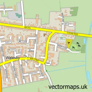
This Wellow street map is a detailed vector street map covering a 750m x 750m area. Select a larger area to create and download your own vector street map of Wellow.
The 750-metre map sample for Wellow covers 141 mapped buildings and approximately 14.2 km of road detail, of which 8 named roads are named. The immediate area includes 1 school, 1 GP surgery within 2 miles, 1 pub and 4 MOT stations within 2 miles. The wider area around Wellow features 1 food and drink venue. To create a larger or custom map of Wellow, the map builder lets you define your own coverage area and download editable SVG, PDF and PNG files.
Create a larger editable map of Wellow
Choose any area you need and generate a high-quality vector map instantly. Perfect for print, planning, design, business and personal use.

This Wellow street map in Nottinghamshire is available as downloadable SVG, PDF and PNG map files, or as a printed map for planning, business, display, education, local information and design work. You can also create a larger custom map area using the map selector.
What this Wellow map sample shows
Wellow lies within Wellow Cp parish, part of Rainworth North & Rufford ward in the Newark And Sherwood District local authority area. The postcode geography for this area includes the NG postcode area, the NG22 postcode district and the NG22 0 postcode sector. Residents fall under the Nhs Nottingham And Nottinghamshire Integrated Care Board for NHS services.
Local features near Wellow
Within 2 milesAmenities and services in and around Wellow.
Administrative and postcode information for Wellow
Wellow lies within Wellow Cp parish, part of Rainworth North & Rufford ward in the Newark And Sherwood District local authority area. The postcode geography for this area includes the NG postcode area, the NG22 postcode district and the NG22 0 postcode sector. Residents fall under the Nhs Nottingham And Nottinghamshire Integrated Care Board for NHS services.
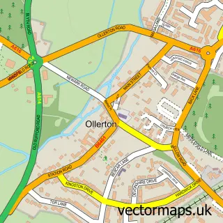
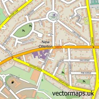
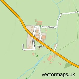
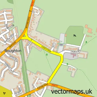
Nearby street map samples around Wellow

More street maps in Nottinghamshire
750 metre map area coverage
Boundary, postcode and point of interest information for the 750m x 750m rectangle centred on this sample map.
Boundaries containing map centre
Constituency: Sherwood Forest Co Const
County: Nottinghamshire County
District: Newark and Sherwood District
Icb: NHS Nottingham and Nottinghamshire ICB
Parish: Wellow CP
Police Force: nottinghamshire
Postcode District: NG22
Postcode Sector: NG22 0
Ward: Rainworth North & Rufford Ward
Nearby boundaries intersecting sample
Parish: Ollerton and Boughton CP, Rufford CP
Ward: Ollerton Ward
Postcode coverage
POI category counts
Accommodation: 1
Church Cathedral: 1
Furniture Wholesalers: 1
Home Decor: 1
Horse Boarding: 1
Pub: 1
School: 1
Structure And Geography: 1
Warehouses: 1
Sample points of interest
- The Maypole at Wellow
- St Swithin's Church
- Geko Products
- Scarthingwell Replicas
- Wellow Park Stables
- Olde Red Lion
- Wellow House School
- Wellow Dam
- Geko Fulfilment
Create a larger editable map of Wellow
This sample shows only a 750 metre area. To create a larger map of Wellow, use our map builder to choose your own coverage area, add titles and download editable SVG, PDF and PNG files.
Create a custom map of Wellow