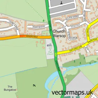
This Edwinstowe street map is a detailed vector street map covering a 750m x 750m area. Select a larger area to create and download your own vector street map of Edwinstowe.
The 750-metre map sample for Edwinstowe covers 479 mapped buildings and approximately 21.4 km of road detail, of which 25 named roads are named. The immediate area includes 1 school, 1 GP surgery, 4 pubs and 1 MOT station. The wider area around Edwinstowe features 6 tourism points of interest, 13 food and drink venues and 1 hotel. To create a larger or custom map of Edwinstowe, the map builder lets you define your own coverage area and download editable SVG, PDF and PNG files.
Create a larger editable map of Edwinstowe
Choose any area you need and generate a high-quality vector map instantly. Perfect for print, planning, design, business and personal use.

This Edwinstowe street map in Nottinghamshire is available as downloadable SVG, PDF and PNG map files, or as a printed map for planning, business, display, education, local information and design work. You can also create a larger custom map area using the map selector.
What this Edwinstowe map sample shows
Edwinstowe lies within Edwinstowe Cp parish, part of Edwinstowe & Clipstone ward in the Newark And Sherwood District local authority area. The postcode geography for this area includes the NG postcode area, the NG21 postcode district and the NG21 9 postcode sector. Residents fall under the Nhs Nottingham And Nottinghamshire Integrated Care Board for NHS services.
Local features near Edwinstowe
Within 2 milesAmenities and services in and around Edwinstowe.
Administrative and postcode information for Edwinstowe
Edwinstowe lies within Edwinstowe Cp parish, part of Edwinstowe & Clipstone ward in the Newark And Sherwood District local authority area. The postcode geography for this area includes the NG postcode area, the NG21 postcode district and the NG21 9 postcode sector. Residents fall under the Nhs Nottingham And Nottinghamshire Integrated Care Board for NHS services.
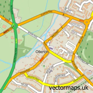
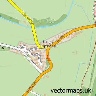
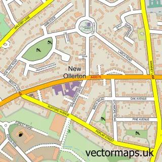
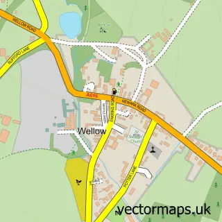
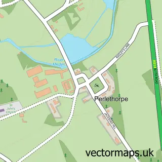
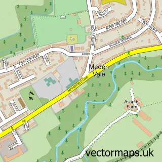
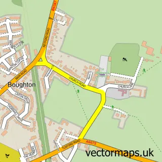
Nearby street map samples around Edwinstowe

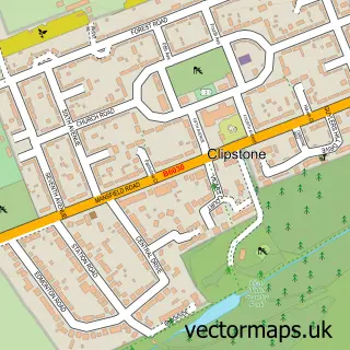
More street maps in Nottinghamshire
750 metre map area coverage
Boundary, postcode and point of interest information for the 750m x 750m rectangle centred on this sample map.
Boundaries containing map centre
Constituency: Sherwood Forest Co Const
County: Nottinghamshire County
District: Newark and Sherwood District
Icb: NHS Nottingham and Nottinghamshire ICB
Parish: Edwinstowe CP
Police Force: nottinghamshire
Postcode District: NG21
Postcode Sector: NG21 9
Ward: Edwinstowe & Clipstone Ward
Nearby boundaries intersecting sample
No additional intersecting boundaries found.
Postcode coverage
POI category counts
Professional Services: 8
Beauty Salon: 7
Beauty And Spa: 6
Cafe: 5
Arts And Crafts: 4
Bakery: 4
Butcher Shop: 4
Church Cathedral: 4
Flowers And Gifts Shop: 4
Printing Services: 4
Sample points of interest
- Bennetts Accountancy
- Mercury Accountants Ltd
- Purple Lotus Acupuncture
- Front Foot Social
- Edwinstowe Community Cricket Club
- St Mary's Edwinstowe
- The Young Theatre Co
- Craft Supplies UK
- Kimberley Craft
- M.Spalding Studio
- Three Little Daisies
- The Big House
Create a larger editable map of Edwinstowe
This sample shows only a 750 metre area. To create a larger map of Edwinstowe, use our map builder to choose your own coverage area, add titles and download editable SVG, PDF and PNG files.
Create a custom map of Edwinstowe