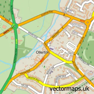
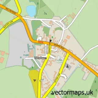
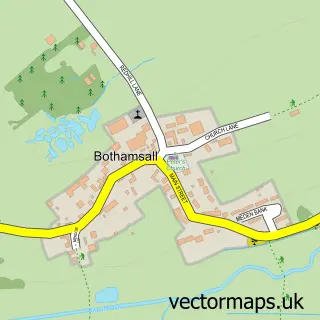
This Boughton street map is a detailed vector street map covering a 750m x 750m area. Select a larger area to create and download your own vector street map of Boughton.
The 750-metre map sample for Boughton covers 222 mapped buildings and approximately 14.8 km of road detail, of which 17 named roads are named. The immediate area includes 1 GP surgery within 2 miles and 5 MOT stations within 2 miles. The wider area around Boughton features 1 tourism point of interest. To create a larger or custom map of Boughton, the map builder lets you define your own coverage area and download editable SVG, PDF and PNG files.
Create a larger editable map of Boughton
Choose any area you need and generate a high-quality vector map instantly. Perfect for print, planning, design, business and personal use.

This Boughton street map in Nottinghamshire is available as downloadable SVG, PDF and PNG map files, or as a printed map for planning, business, display, education, local information and design work. You can also create a larger custom map area using the map selector.
What this Boughton map sample shows
Boughton lies within Ollerton And Boughton Cp parish, part of Boughton ward in the Newark And Sherwood District local authority area. The postcode geography for this area includes the NG postcode area, the NG22 postcode district and the NG22 9 postcode sector. Residents fall under the Nhs Nottingham And Nottinghamshire Integrated Care Board for NHS services.
Local features near Boughton
Within 2 milesAmenities and services in and around Boughton.
Administrative and postcode information for Boughton
The local authority covering Boughton is Newark And Sherwood District, within the county of Nottinghamshire. The settlement lies within Boughton ward and Ollerton And Boughton Cp civil parish. The NG22 postcode district and NG22 9 postcode sector serve the immediate area. NHS provision in the area is delivered through Sherwood Forest Hospitals Nhs Foundation Trust.
Nearby street map samples around Boughton

More street maps in Nottinghamshire
750 metre map area coverage
Boundary, postcode and point of interest information for the 750m x 750m rectangle centred on this sample map.
Boundaries containing map centre
Constituency: Sherwood Forest Co Const
County: Nottinghamshire County
District: Newark and Sherwood District
Icb: NHS Nottingham and Nottinghamshire ICB
Parish: Ollerton and Boughton CP
Police Force: nottinghamshire
Postcode District: NG22
Postcode Sector: NG22 9
Ward: Boughton Ward
Nearby boundaries intersecting sample
No additional intersecting boundaries found.
Postcode coverage
POI category counts
Anglican Church: 2
Automotive Repair: 2
Freight And Cargo Service: 2
Auto Loan Provider: 1
Campground: 1
Driving School: 1
Gym: 1
Naturopathic Holistic: 1
Post Office: 1
Retirement Home: 1
Sample points of interest
- St Matthew's Church
- St Matthews
- Remortgage Professionals
- Bilsthorpe Trading Garage Services
- Paul Widdowson
- Tall Trees Park
- Red Driving Instructor
- B & S Hollingworth & Son
- B and S Hollingworth and Son
- Ollerton RUFC
- Freedom Hypnotherapy Services
- Post Office-Boughton
Create a larger editable map of Boughton
This sample shows only a 750 metre area. To create a larger map of Boughton, use our map builder to choose your own coverage area, add titles and download editable SVG, PDF and PNG files.
Create a custom map of Boughton