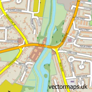
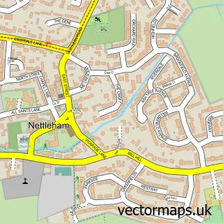
This Lincoln street map is a detailed vector street map covering a 750m x 750m area. Select a larger area to create and download your own vector street map of Lincoln.
The 750-metre map sample for Lincoln covers 203 mapped buildings and approximately 39.3 km of road detail, of which 69 named roads are named. The immediate area includes 1 school, 1 railway station, 1 GP surgery, with 8 within 2 miles and 28 pubs among other local services. The wider area around Lincoln features 16 tourism points of interest, 89 food and drink venues and 4 hotels. To create a larger or custom map of Lincoln, the map builder lets you define your own coverage area and download editable SVG, PDF and PNG files.
Create a larger editable map of Lincoln
Choose any area you need and generate a high-quality vector map instantly. Perfect for print, planning, design, business and personal use.

This Lincoln street map in Lincolnshire is available as downloadable SVG, PDF and PNG map files, or as a printed map for planning, business, display, education, local information and design work. You can also create a larger custom map area using the map selector.
What this Lincoln map sample shows
Lincoln lies within Canwick Cp parish, part of Heighington And Washingborough ward in the North Kesteven District local authority area. The postcode geography for this area includes the LN postcode area, the LN4 postcode district and the LN4 2 postcode sector. Residents fall under the Nhs Lincolnshire Integrated Care Board for NHS services.
Local features near Lincoln
Within 2 milesAmenities and services in and around Lincoln.
Administrative and postcode information for Lincoln
The local authority covering Lincoln is North Kesteven District, within the county of Lincolnshire. The settlement lies within Heighington And Washingborough ward and Canwick Cp civil parish. The LN4 postcode district and LN4 2 postcode sector serve the immediate area. NHS provision in the area is delivered through United Lincolnshire Hospitals Nhs Trust.
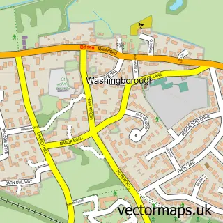
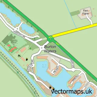
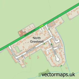
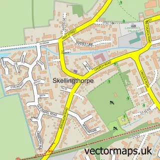
Nearby street map samples around Lincoln
More street maps in Lincolnshire
750 metre map area coverage
Boundary, postcode and point of interest information for the 750m x 750m rectangle centred on this sample map.
Boundaries containing map centre
Constituency: Lincoln Boro Const
County: Lincolnshire County
District: Lincoln District (B)
Icb: NHS Lincolnshire ICB
Police Force: lincolnshire
Postcode District: LN2
Postcode Sector: LN2 1
Ward: Carholme Ward
Nearby boundaries intersecting sample
Postcode District: LN1, LN5, LN6
Postcode Sector: LN1 1, LN1 3, LN2 5, LN5 7, LN6 7
Ward: Abbey Ward, Boultham Ward, Minster Ward, Park Ward
Postcode coverage
POI category counts
Beauty Salon: 37
Clothing Store: 35
Real Estate Agent: 33
Bar: 28
Pub: 28
Hair Salon: 27
Cafe: 26
Professional Services: 22
Coffee Shop: 21
Dance Club: 21
Sample points of interest
- Lincolnshire Recovery Partnership
- Bank Street Apartments
- Danesgate House
- Park Court
- Chart Accountants Ltd.
- Streets Chartered Accountants
- Streets Law
- Wright Vigar
- Xtract Accounting
- Rugbytots Lincolnshire
- Bodyworks Acupuncture Lincoln
- Pitman Training Lincoln
Create a larger editable map of Lincoln
This sample shows only a 750 metre area. To create a larger map of Lincoln, use our map builder to choose your own coverage area, add titles and download editable SVG, PDF and PNG files.
Create a custom map of Lincoln