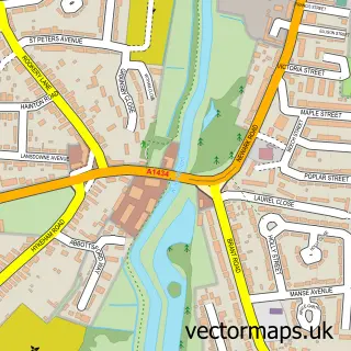
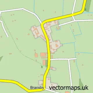
This Burton Waters street map is a detailed vector street map covering a 750m x 750m area. Select a larger area to create and download your own vector street map of Burton Waters.
The 750-metre map sample for Burton Waters covers 75 mapped buildings and approximately 16.1 km of road detail, of which 8 named roads are named. The immediate area includes 1 pub and 2 MOT stations within 2 miles. The wider area around Burton Waters features 3 food and drink venues. To create a larger or custom map of Burton Waters, the map builder lets you define your own coverage area and download editable SVG, PDF and PNG files.
Create a larger editable map of Burton Waters
Choose any area you need and generate a high-quality vector map instantly. Perfect for print, planning, design, business and personal use.

This Burton Waters street map in Lincolnshire is available as downloadable SVG, PDF and PNG map files, or as a printed map for planning, business, display, education, local information and design work. You can also create a larger custom map area using the map selector.
What this Burton Waters map sample shows
Burton Waters lies within Skellingthorpe Cp parish, part of Skellingthorpe ward in the North Kesteven District local authority area. The postcode geography for this area includes the LN postcode area, the LN6 postcode district and the LN6 5 postcode sector. Residents fall under the Nhs Lincolnshire Integrated Care Board for NHS services.
Local features near Burton Waters
Within 2 milesAmenities and services in and around Burton Waters.
Administrative and postcode information for Burton Waters
The local authority covering Burton Waters is North Kesteven District, within the county of Lincolnshire. The settlement lies within Skellingthorpe ward and Skellingthorpe Cp civil parish. The LN6 postcode district and LN6 5 postcode sector serve the immediate area. NHS provision in the area is delivered through United Lincolnshire Hospitals Nhs Trust.
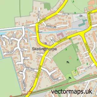
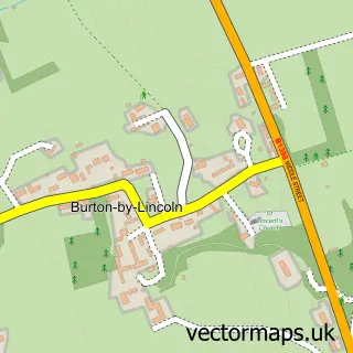
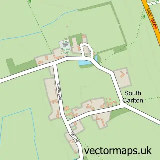
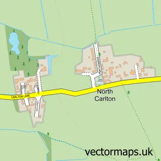
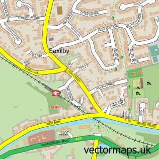
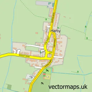
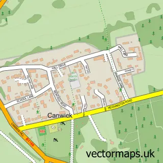
Nearby street map samples around Burton Waters

More street maps in Lincolnshire
750 metre map area coverage
Boundary, postcode and point of interest information for the 750m x 750m rectangle centred on this sample map.
Boundaries containing map centre
Constituency: Gainsborough Co Const
County: Lincolnshire County
District: West Lindsey District
Icb: NHS Lincolnshire ICB
Parish: Burton CP
Police Force: lincolnshire
Postcode District: LN1
Postcode Sector: LN1 2
Ward: Saxilby Ward
Nearby boundaries intersecting sample
Constituency: Lincoln Boro Const
District: North Kesteven District
Parish: Skellingthorpe CP
Postcode District: LN6
Postcode Sector: LN6 5
Ward: Skellingthorpe & Eagle Ward
Postcode coverage
POI category counts
Beauty Salon: 4
Beauty And Spa: 2
Gym: 2
Hair Salon: 2
Health And Medical: 2
Hospital: 2
Medical Service Organizations: 2
Mortgage Broker: 2
Accountant: 1
Architectural Designer: 1
Sample points of interest
- Castlemaine Associates
- Framework Architects
- Barchester - Tennyson Wharf Care Home
- Marine & Industrial Covers
- Bar Six
- Harbour Lights
- Accentuate - Cosmetic Micropigmentation
- Hair on the Lawn
- Saks Hair & Beauty, David Lloyd Club
- Industryhd
- Quays Beauty
- Saks Lincoln
Create a larger editable map of Burton Waters
This sample shows only a 750 metre area. To create a larger map of Burton Waters, use our map builder to choose your own coverage area, add titles and download editable SVG, PDF and PNG files.
Create a custom map of Burton Waters