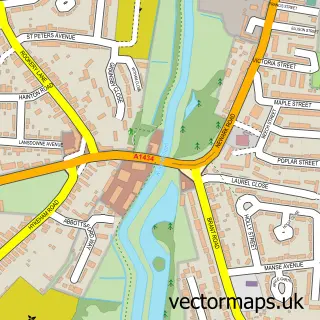
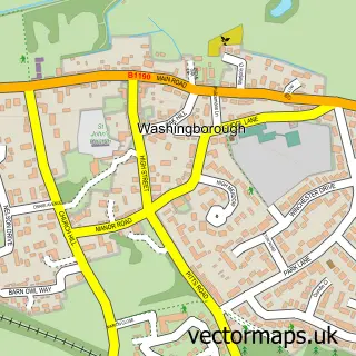
This Nettleham street map is a detailed vector street map covering a 750m x 750m area. Select a larger area to create and download your own vector street map of Nettleham.
The 750-metre map sample for Nettleham covers 546 mapped buildings and approximately 15.7 km of road detail, of which 39 named roads are named. The immediate area includes 1 school, 2 GP surgeries within 2 miles, 4 pubs and 2 MOT stations within 2 miles. The wider area around Nettleham features 7 food and drink venues and 1 hotel. To create a larger or custom map of Nettleham, the map builder lets you define your own coverage area and download editable SVG, PDF and PNG files.
Create a larger editable map of Nettleham
Choose any area you need and generate a high-quality vector map instantly. Perfect for print, planning, design, business and personal use.

This Nettleham street map in Lincolnshire is available as downloadable SVG, PDF and PNG map files, or as a printed map for planning, business, display, education, local information and design work. You can also create a larger custom map area using the map selector.
What this Nettleham map sample shows
Nettleham lies within Nettleham Cp parish, part of Nettleham ward in the West Lindsey District local authority area. The postcode geography for this area includes the LN postcode area, the LN2 postcode district and the LN2 2 postcode sector. Residents fall under the Nhs Lincolnshire Integrated Care Board for NHS services.
Local features near Nettleham
Within 2 milesAmenities and services in and around Nettleham.
Administrative and postcode information for Nettleham
The local authority covering Nettleham is West Lindsey District, within the county of Lincolnshire. The settlement lies within Nettleham ward and Nettleham Cp civil parish. The LN2 postcode district and LN2 2 postcode sector serve the immediate area. NHS provision in the area is delivered through United Lincolnshire Hospitals Nhs Trust.
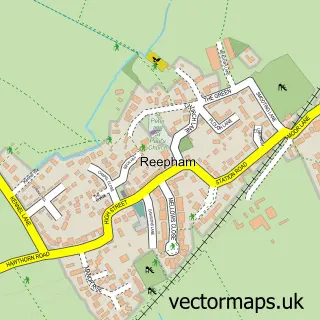
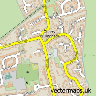
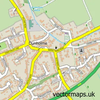
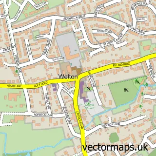
Nearby street map samples around Nettleham

More street maps in Lincolnshire
750 metre map area coverage
Boundary, postcode and point of interest information for the 750m x 750m rectangle centred on this sample map.
Boundaries containing map centre
Constituency: Gainsborough Co Const
County: Lincolnshire County
District: West Lindsey District
Icb: NHS Lincolnshire ICB
Parish: Nettleham CP
Police Force: lincolnshire
Postcode District: LN2
Postcode Sector: LN2 2
Ward: Nettleham Ward
Nearby boundaries intersecting sample
No additional intersecting boundaries found.
Postcode coverage
POI category counts
Pub: 4
Anglican Church: 2
Beauty And Spa: 2
Beauty Salon: 2
Coffee Shop: 2
Convenience Store: 2
Elementary School: 2
Flowers And Gifts Shop: 2
Laundry Services: 2
Library: 2
Sample points of interest
- All Saints
- All Saints Parish Church
- Longhurst & Havelok Homes
- Lincolnshire Co-op - Nettleham (001034), Nettleham
- Jukebox World
- Roy Wilson Auto Services
- Hair Extensions By Jodie
- Halo Aesthetics Lincoln
- Deborah Lord Lashes Brows and Nails
- The Beauty Rooms
- A B Handford
- The Plant Pot Cafe & Bistro
Create a larger editable map of Nettleham
This sample shows only a 750 metre area. To create a larger map of Nettleham, use our map builder to choose your own coverage area, add titles and download editable SVG, PDF and PNG files.
Create a custom map of Nettleham